displaying 193 results
In 1971, when there were few employment opportunities for geography students beyond the classroom, Greg Babinski graduated from Wayne State...

Esri’s chief scientist became the first person of African descent to dive to Challenger Deep, where she surveyed its Western Pool.

For the first time, mapping tools are revealing a complete picture of oyster health on the North American west coast.
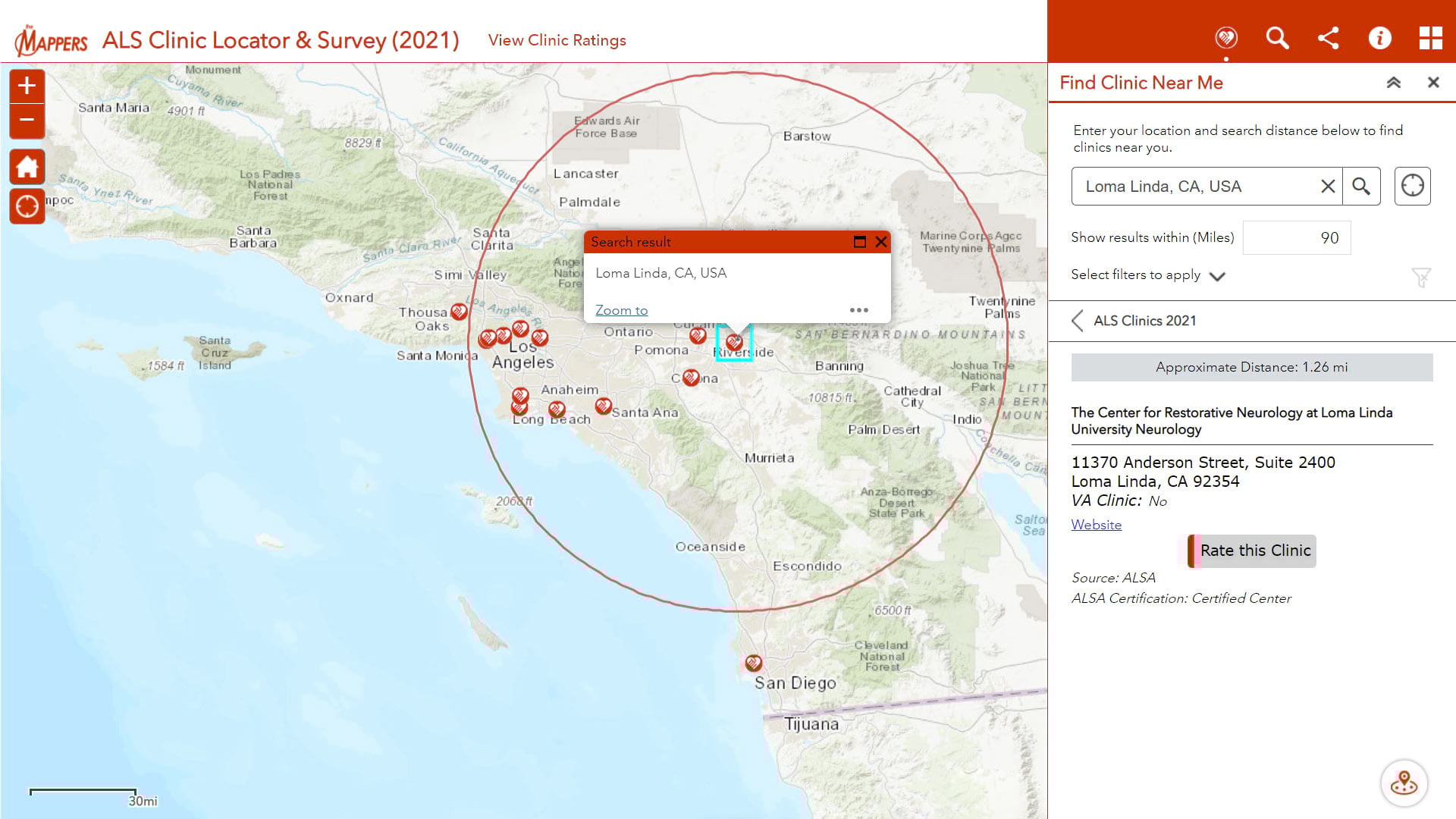
Pat Dolan, diagnosed with ALS or Lou Gehrig's disease, uses his GIS knowledge and skills to help other ALS patients locate care services.
Our list of 99 ideas for how to celebrate GIS Day will kick start your creative juices.
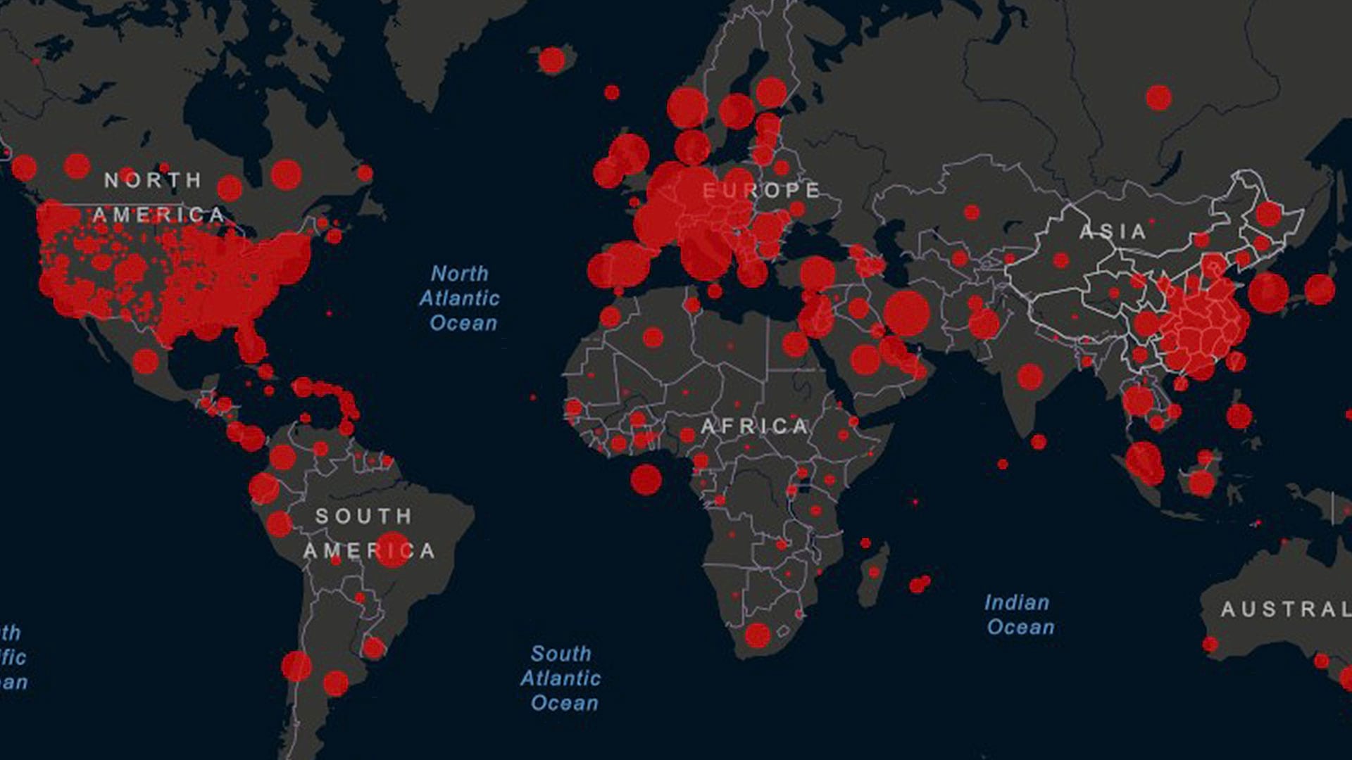
The Esri Disaster Response Program (DRP) offers technical support, data, and GIS solutions to organizations responding to the COVID-19 pandemic.
Esri software users from around the world send in photos documenting their travels and accomplishments while wearing Esri T-shirts.

The National Audubon Society adopted an enterprise approach to GIS that uses ArcGIS for Server to improve the way it collects and manages data.
Ten years ago, in 2003, GISCorps was officially adopted as a URISA program to coordinate short-term, volunteer-based GIS expertise and support...