displaying 410 results
With GIS, Tim Prather found a powerful tool for making agriculture more sustainable, both environmentally and economically.
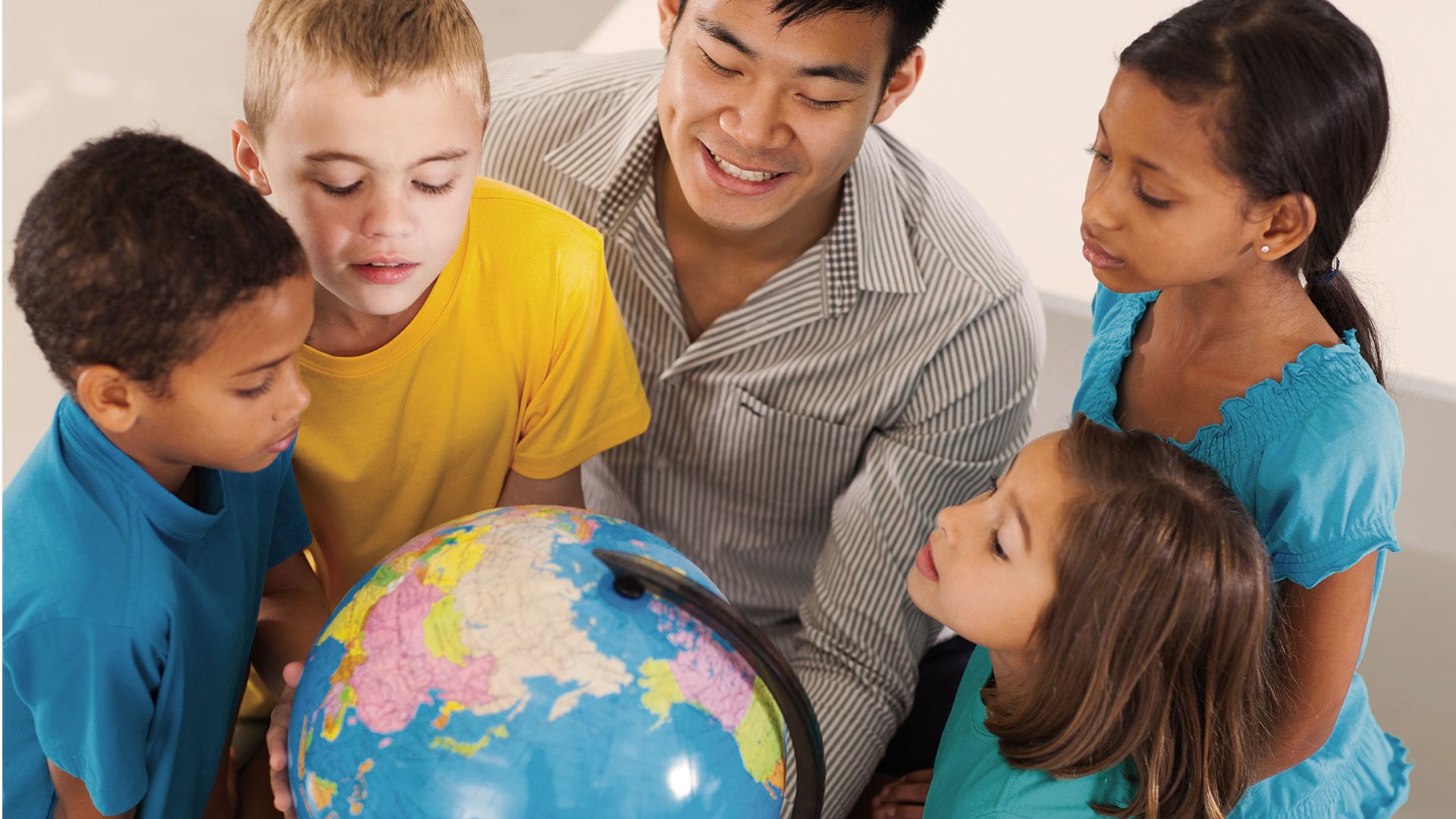
GI Learner is a program designed to help teachers instill geospatial thinking and GIS awareness in junior high and high school students.

Esri’s ArcGIS Indoors is suited to help businesses safely plan reopening, helping them efficiently visualize their real estate.

AASD and engineering students used GIS to study water scarcity in one Peruvian community to help other societies in similar situations.

Esri partners Similix, Intelligis Technologies, ROK Technologies, and VHB improve operational efficiency and business with Esri technology.

Esri’s new racial equity initiative aims to help users leverage location intelligence to address issues that revolve around race.
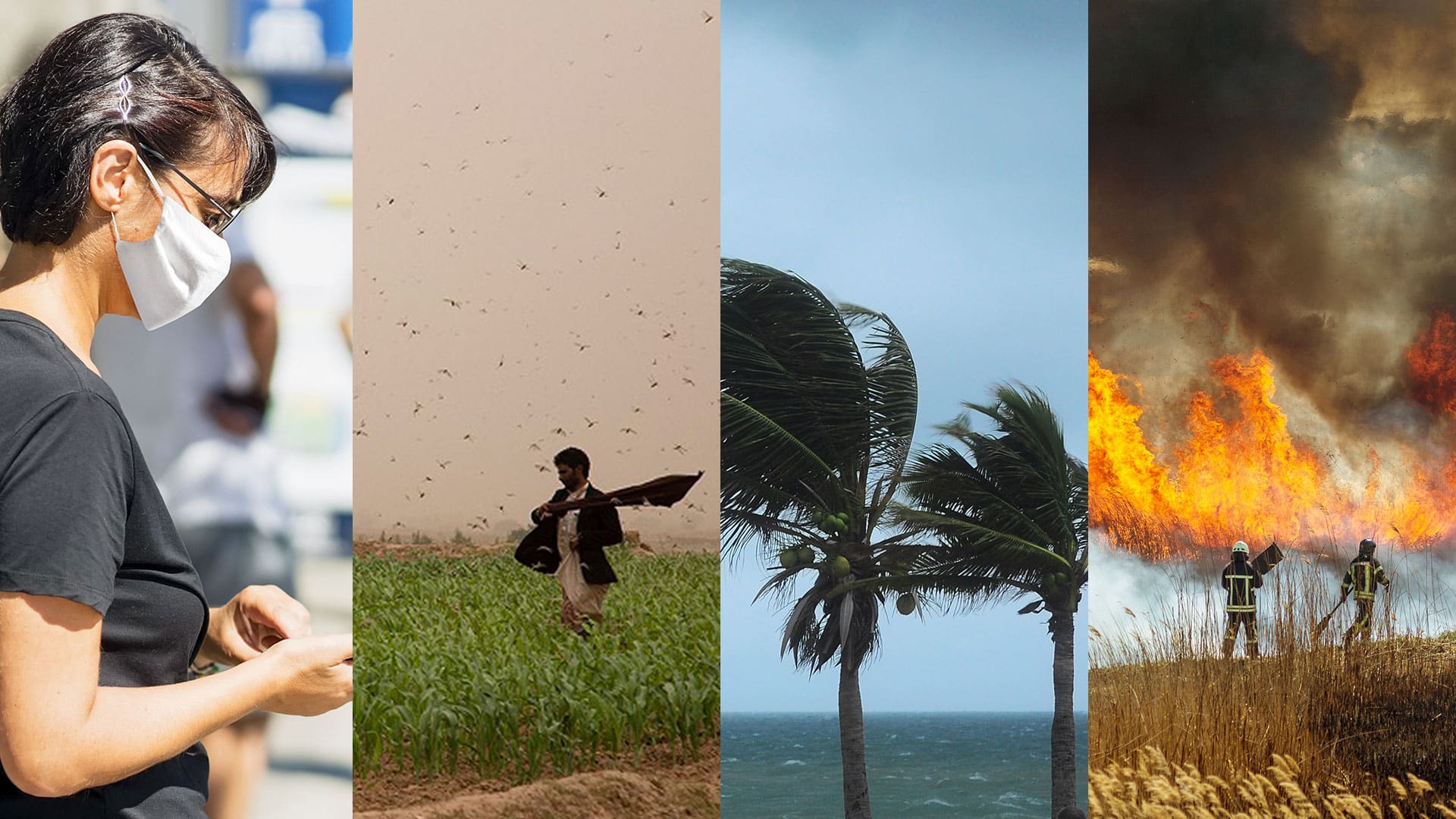
In this time of global calamity, organizations should get ready for what may come next. Building resilience could make all the difference.

Celebrating GIS Day virtually may bring in more participants than ever before to your event. Find out how to make it interactive and interesting.

Mission Blue, founded by oceanographer Sylvia Earle, uses ArcGIS StoryMaps to showcase Hope Spots, marine areas in need of protection.
At the 2020 Esri Partner Conference, Esri recognized 19 partners for their important and innovative contributions to GIS.

Science is part of Esri’s DNA, and what the world needs now is the power of deep, integrative geographic science.

The 2020 Esri User Conference is going virtual, and Esri is providing free software to a range of groups affected by COVID-19.