displaying 218 results
Esri staff provides an overview of virtual reality (VR), augmented reality (AR), and mixed reality (MR) and shows you how you can create...

Miami Beach, Florida, is one of the most vulnerable areas for sea level rise in the United States.

ArcGIS Notebooks lets you easily switch between ArcGIS Pro and Jupyter Notebook, providing a complete data science workstation.

The urgency and scope of Biden’s new pledge set the stage for companies to uncover opportunity.

The Mapping Justice course uses data innovation and visualization tools to envision a more liberated and less oppressed society.
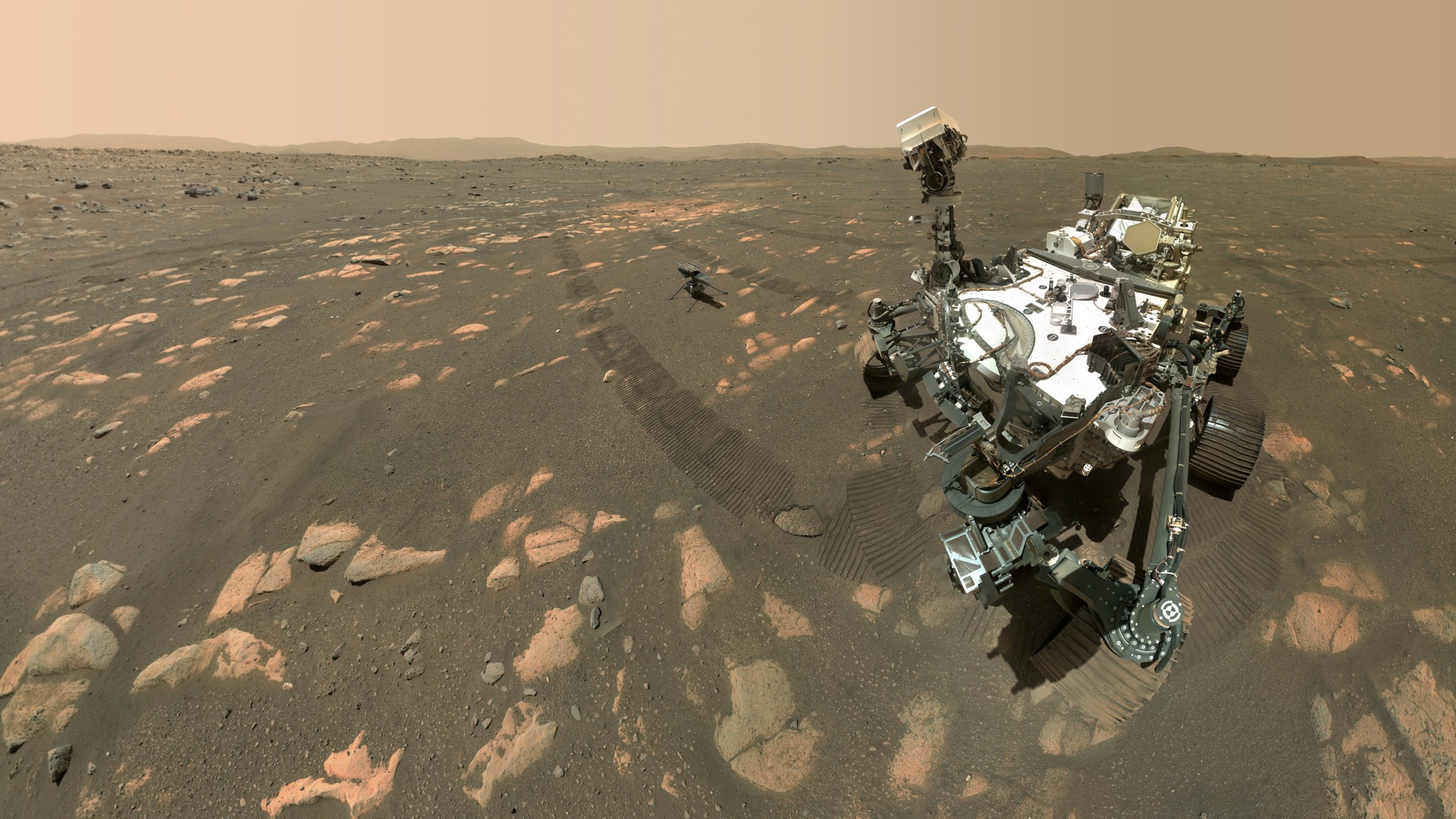
The Mars 2020 mission marked the first time that a map left Earth to be read by a robot to land autonomously amid hazards.
ArcGIS API for JavaScript now includes a widget for viewing and editing feature attributes and support for 2D and 3D navigation using Gamepad.
The manager of GIS technology at one of the nation’s largest utilities issues a call for collaboration, and a corporate security team accepts.

Executives hoping to turn federal climate action investments into business opportunities should understand where they stand.