displaying 1411 results

The new app gives users the ability to collect data, view maps, and track locations all within a single mobile experience.
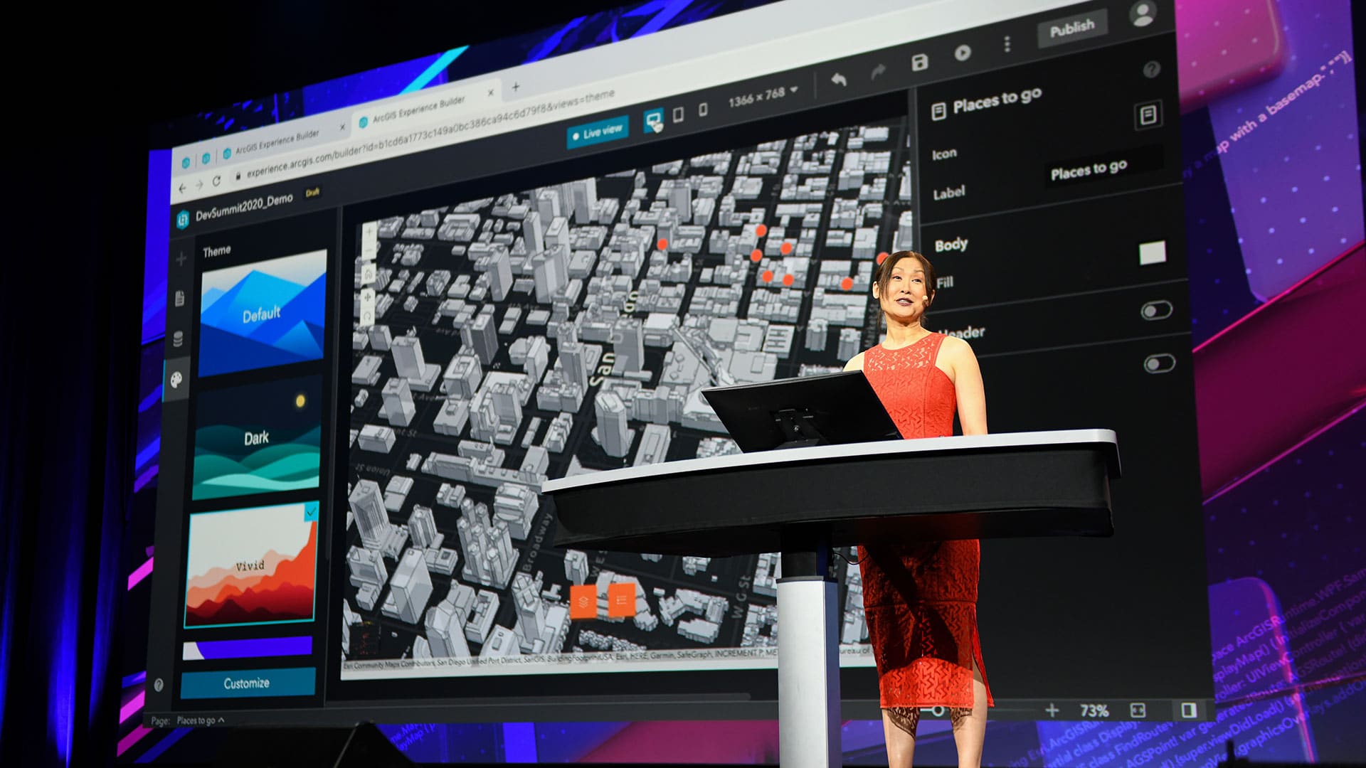
The Esri Developer Summit focused on new capabilities in ArcGIS including those in 3D mapping, natural language processing, and data science.

ArcGIS 10.4 includes exciting new capabilities for visualizing and analyzing data.

Effectively managing feature layer capabilities is an easy way to ensure that your public applications securely show up-to-date information.
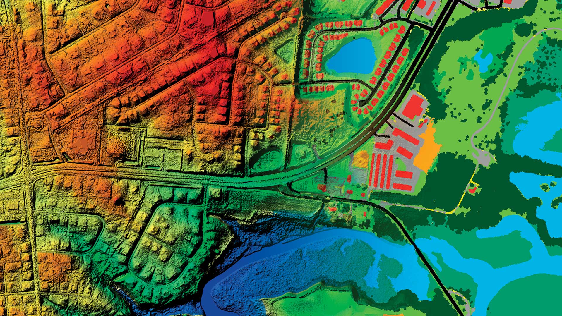
Huge analysis jobs are suddenly possible with raster analytics capabilities across the ArcGIS platform.

With these enhancements, users in disconnected environments can stay just as organized as everyone else.
ArcGIS 10.5 has new capabilities that enhance analytics and problem-solving and make it easier to connect to and integrate enterprise data.
This article is an abbreviated synopsis of the opening session of the 2007 Esri International User Conference.
ArcGIS 10.2, a full release of ArcGIS, makes it easier to deploy web GIS, the key component for implementing GIS as a platform...
ArcGIS includes the capability to use real-time data in everyday decision making.

An inside look at BP's digital transformation, with lessons on successfully deploying enterprise software.