displaying 410 results
Web GIS is changing disaster response, allowing organizations to continually unite their daily operations with emergency needs.
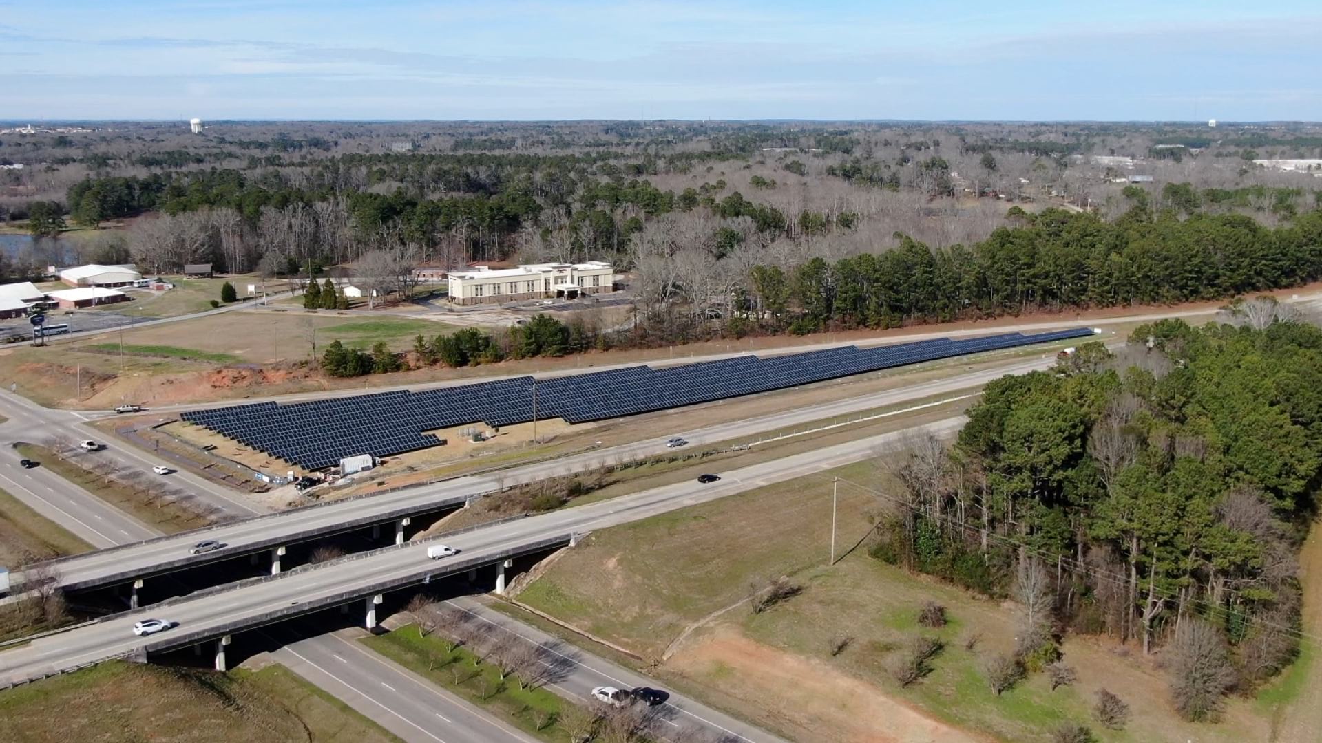
The Ray, an Atlanta-based nonprofit, wants to harness highway right-of-way land to host vast solar panel arrays.

Geographers and GIS scientists can improve their research by improving their engagement with the communities they study.

Water 4Life works to conserve water; Esri cloud solution engineering supports public safety; and maps improve efficiency in California.

Open science is a global movement to make scientific research open and accessible. Organizations can use ArcGIS Hub to increase engagement.
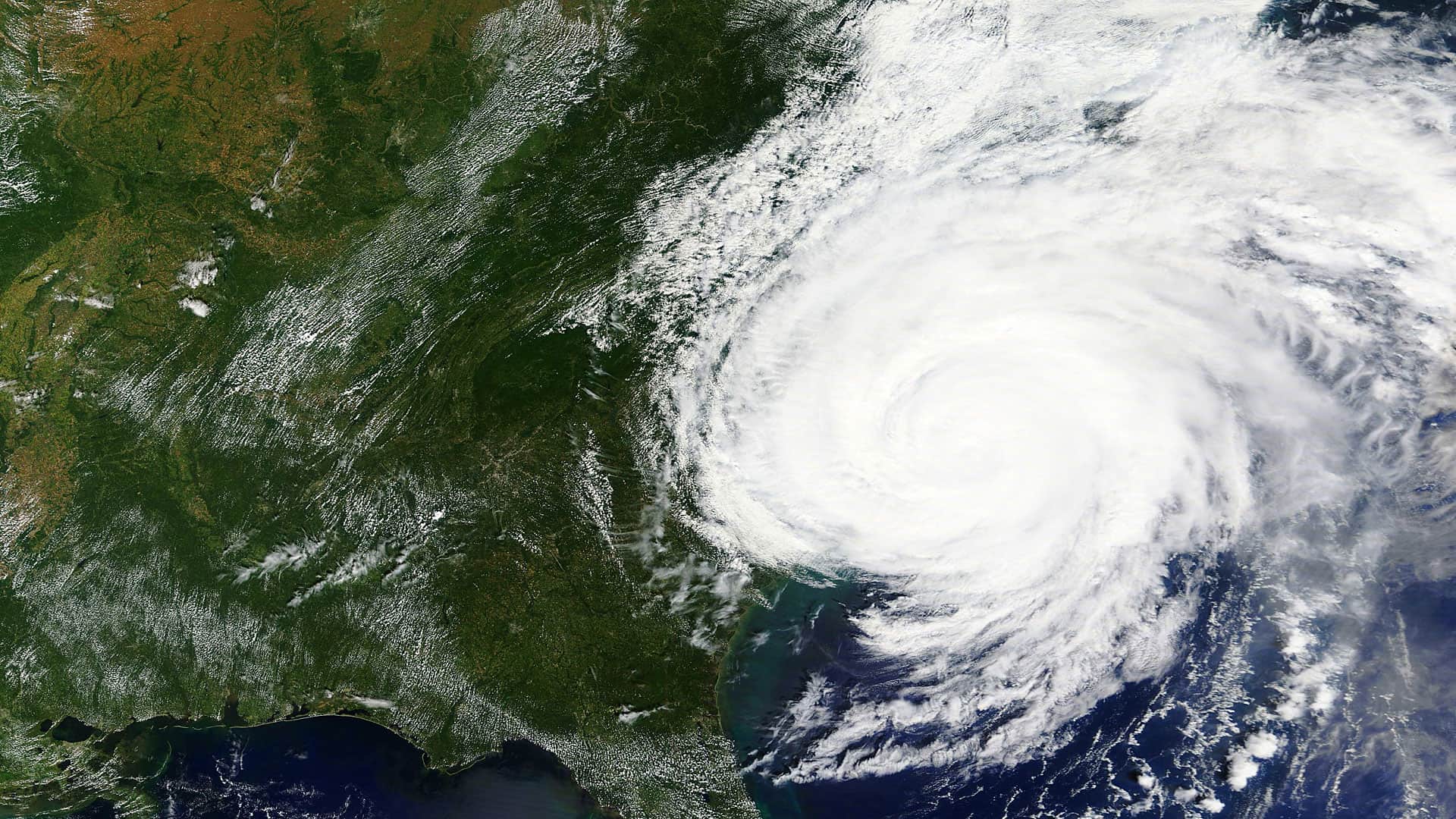
On November 8, in addition to choosing a new president, Americans will elect or reelect 34 senators and all 435 representatives to Congress.
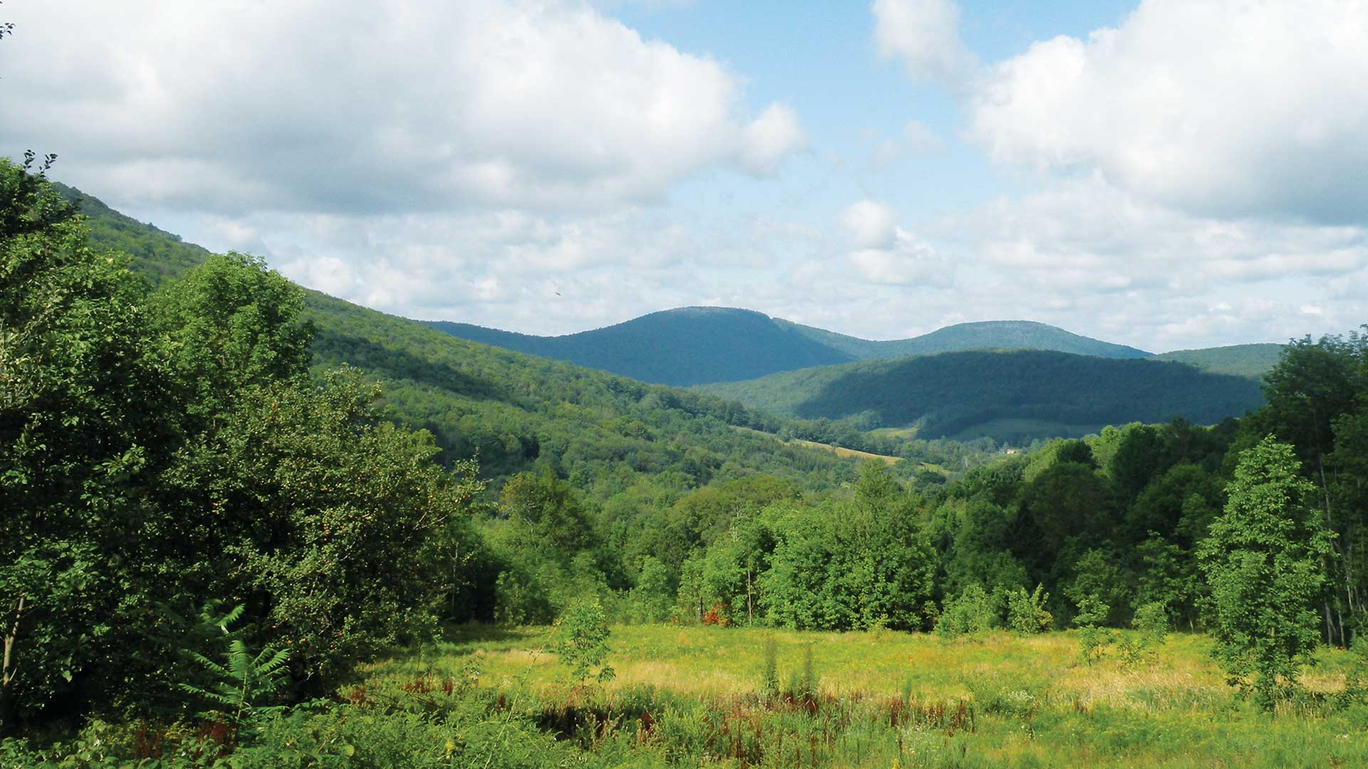
A nonprofit organization dedicated to preserving water quality and a viable rural economy in upstate New York used imagery and GIS.
GISCorps members who pitch in to help during natural disasters or donate time at a nonprofit organization such as a food bank will get the...

Publisher of Black Voice News finds ways to use GIS mapping to advocate for the voiceless while promoting corporate social responsibility.
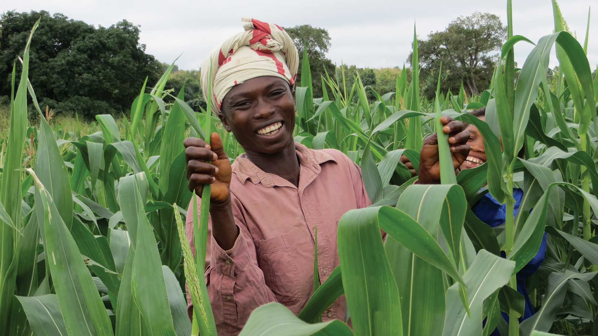
An economic development nonprofit organization uses ArcGIS to better understand and optimize agricultural value chains.
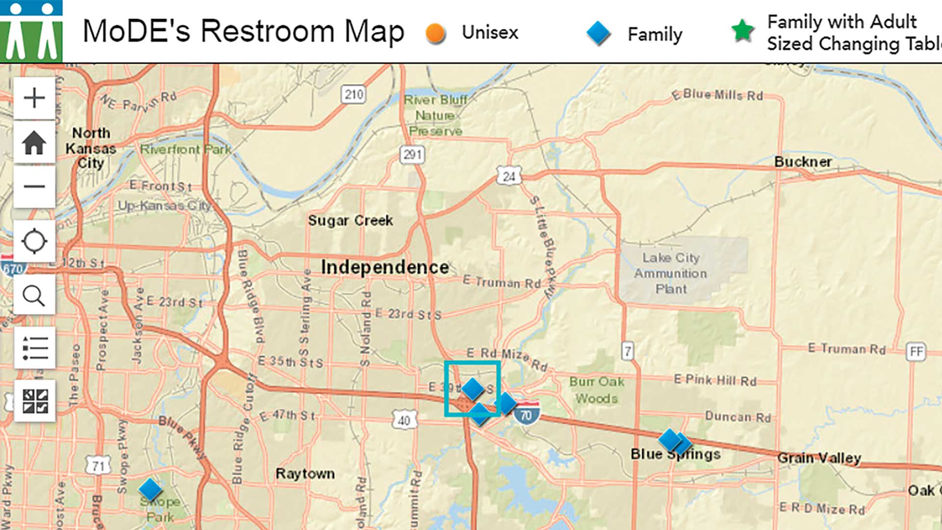
Dave Nykodym and Christina Ingoglia founded a nonprofit advocacy group for people who need more accessible restrooms.