displaying 4407 results

Marta Segura, L.A. Chief Heat Officer, explains how technology and mapping can bring relief to residents during dangerous heat waves.
You can add, share, and manage many types of items in ArcGIS Online, including photos and images. Here's how.

3D GIS workflows and models have created a digital twin to help guide development of port facilities in Vietnam.
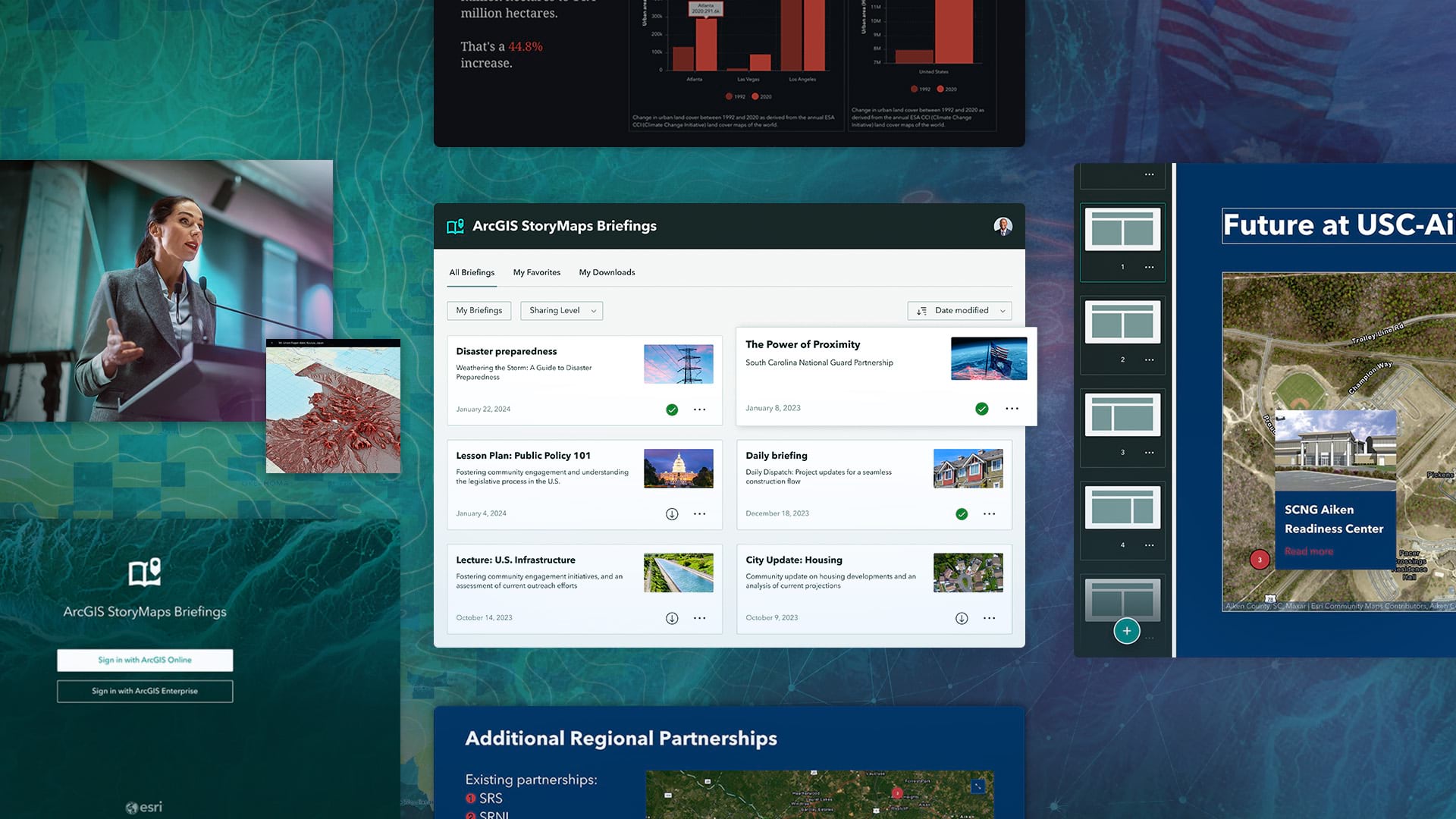
A new StoryMaps output type called briefings helps users create accessible, brand-specific slide-based presentations.
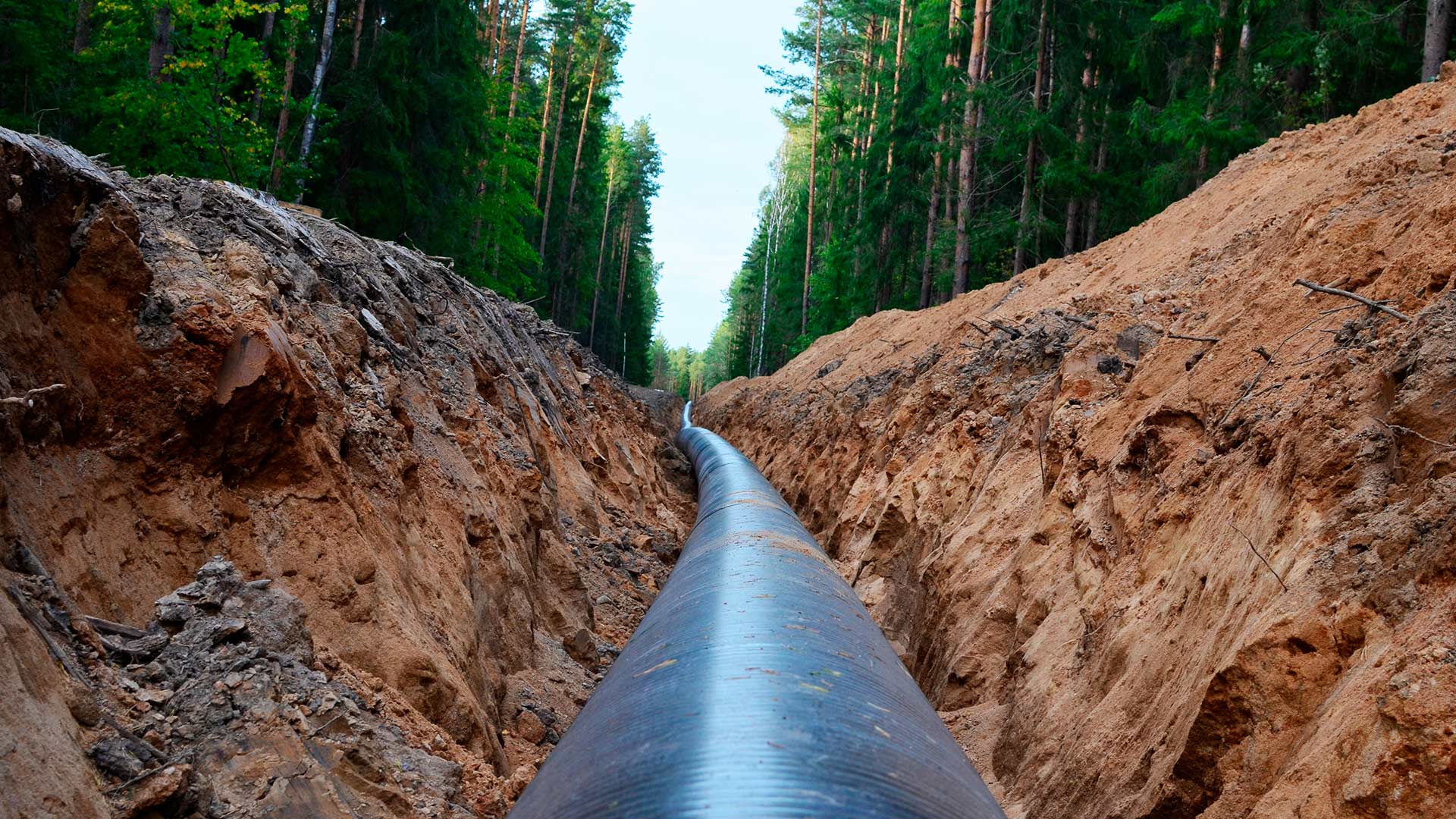
An Esri startup partner graduate helped a US pipeline client comply with federal safety requirements.

With a GIS-based app to monitor critical assets, the Saudi Arabian Oil Company ensures that its network of transmission lines operates safely.

An early love of the sciences led Breece Robertson to a GIS career and to the creation of ParkScore, a database that scores US park systems.
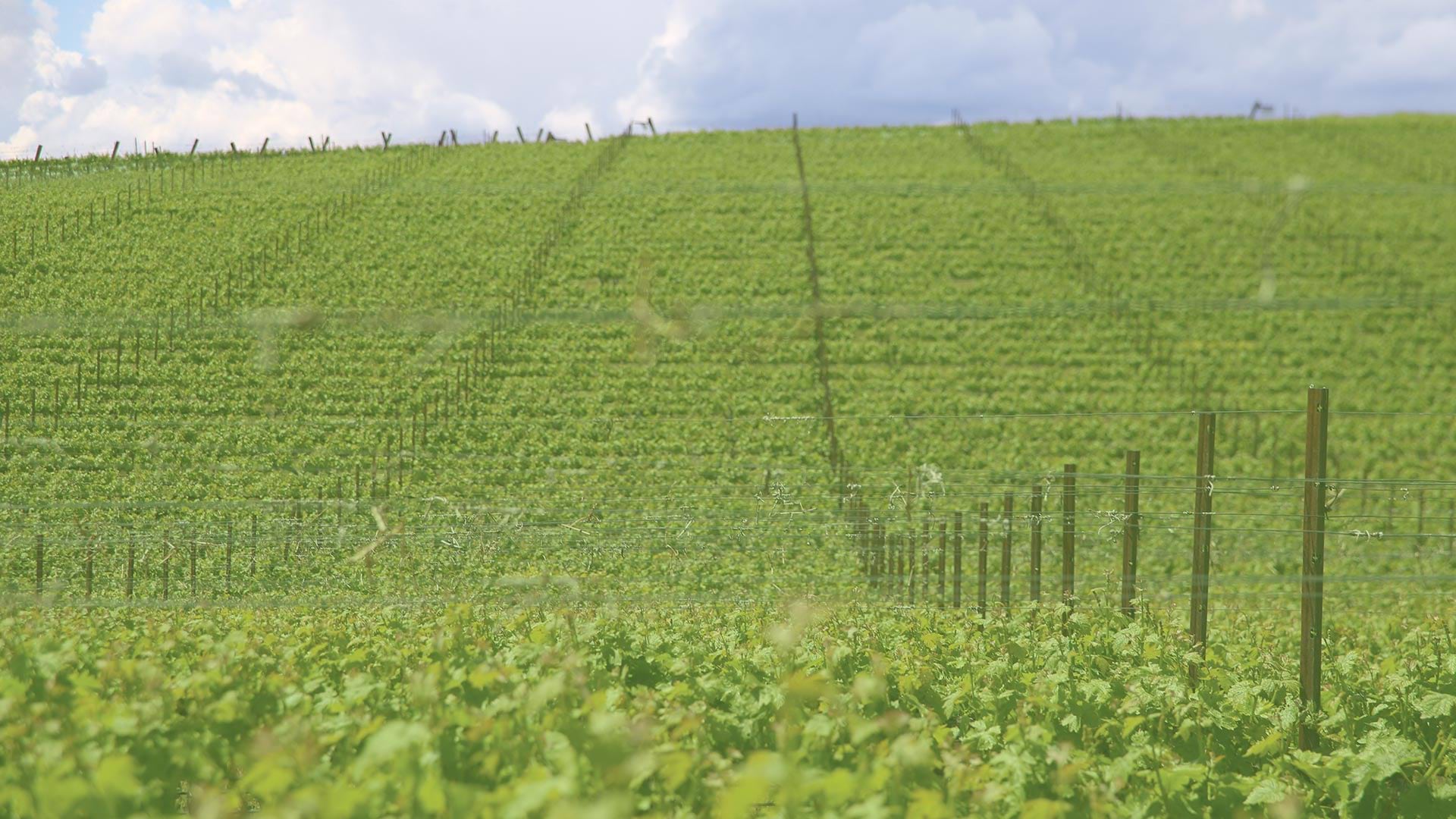
By using aerial imagery, staff at Shaw Vineyards can now identify and fix irrigation leaks quickly, resulting in a more uniform vine canopy.
The easy-to-use web app sends key metrics to local governments, informing future actions they can take to ensure good water quality.

Golden Compass helps women geographers from other countries who work in the United States process and enhance their experiences.
Bridging the gap between physical and human geography will better address climate justice—and improve climate science.