displaying 410 results
Snorkelers, scuba divers, and beachgoers who spot sea turtles can help scientific researchers learn more about the elusive and often endangered..
Authored by Dr. Tom Koch, this book traces the long history of how maps have been used to help unlock the mysteries behind the cause
Planning and Development Services (PDS) of Kenton County uses GIS in imaginative ways, using maps and data to tell stories about...
Coloradans can use the Colorado Trail Explorer web app to find trails suitable for hiking, biking, horseback riding, and other outdoor pursuits.
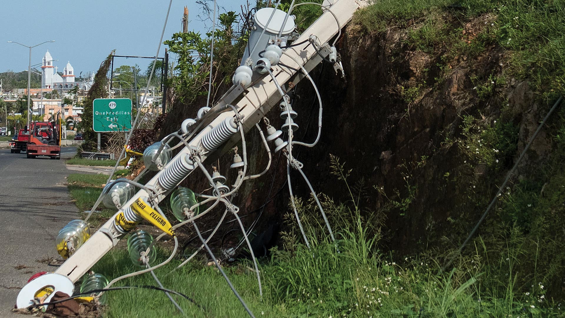
When Hurricane Maria left Puerto Rico in chaos with no communication networks, Esri distributor GMT got creative in its response efforts.
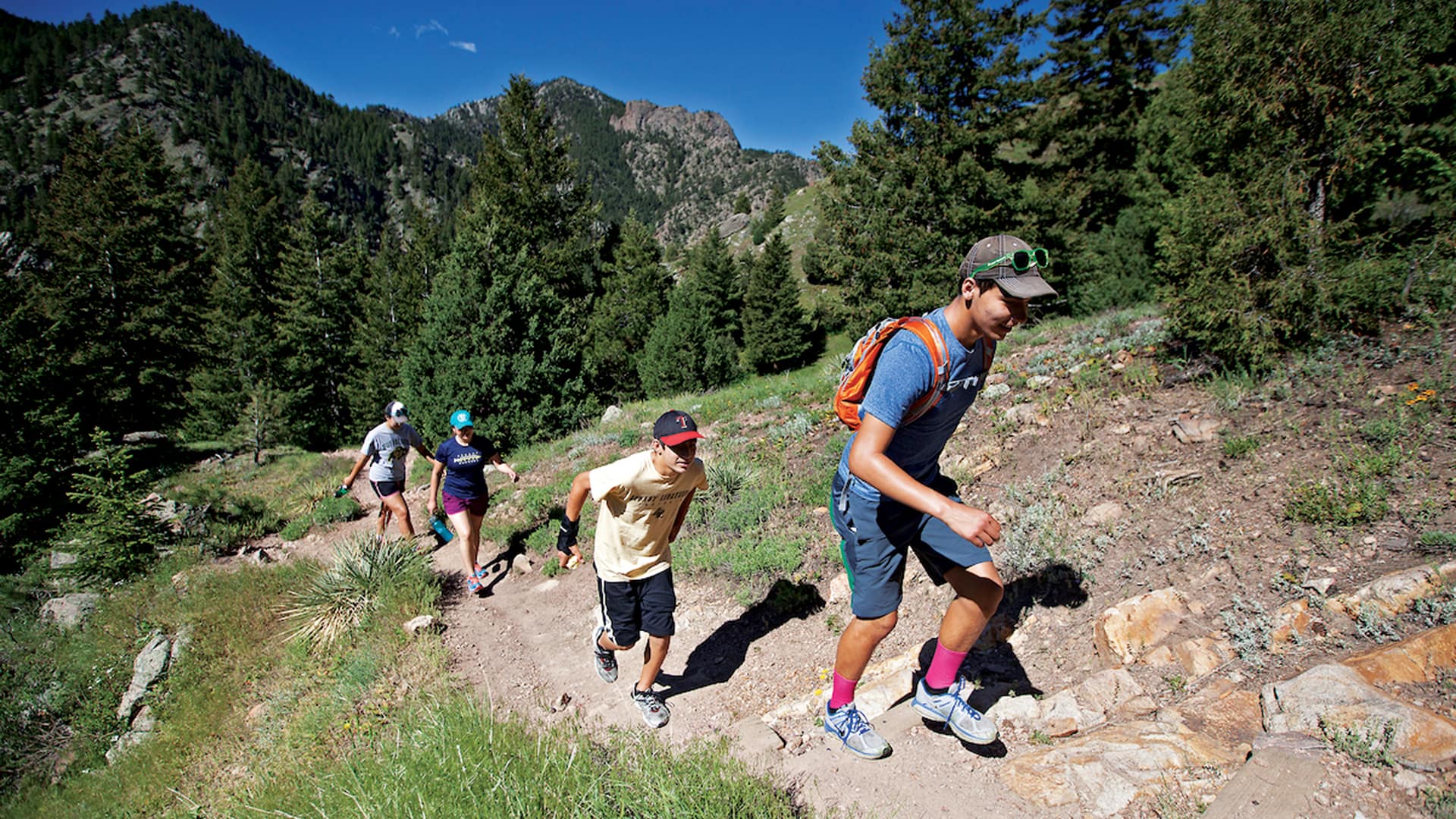
The Colorado Trail Explorer—a web map created with Esri technology—guides people to the state’s great outdoors.

Colorado governor John Hickenlooper—part of a new wave of US leadership—has a passion for integrating geographic knowledge into government.
Meet the 2018 Esri Storytelling with Maps Contest winners, who used the apps to tell stories about a Rohingya refugee encampment...
Malaria rates in Africa have been shrinking. Esri product engineer Kathy Cappelli walks you through how to use ArcGIS Pro...

Utopian Disruption uses GIS to envision an ideal city space in 3D.

The ArcGIS Platform Data Hosting service can scale with the growth of developers' applications and don’t have hidden costs.
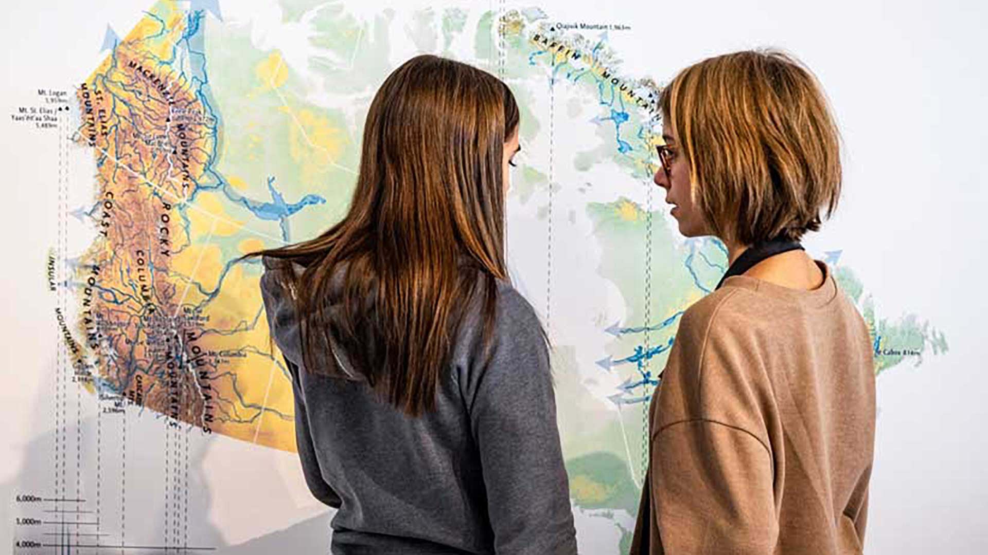
Members of the Esri Canada K–12 team received the Alex Trebek Medal for Geographic Literacy.