displaying 1411 results
The latest release of ArcGIS technology offers powerful new features in mapping, visualization, analytics, and more.


The Esri Geospatial Cloud, which describes the entirely web-services based architecture of ArcGIS, gives users great reach and flexibility.
Esri's developer team huddled to create this top 10 list of takeaways from the 2016 Esri Developer Summit.

Esri’s new MOOC introduces participants to the latest ArcGIS capabilities for working with imagery and remotely sensed data.
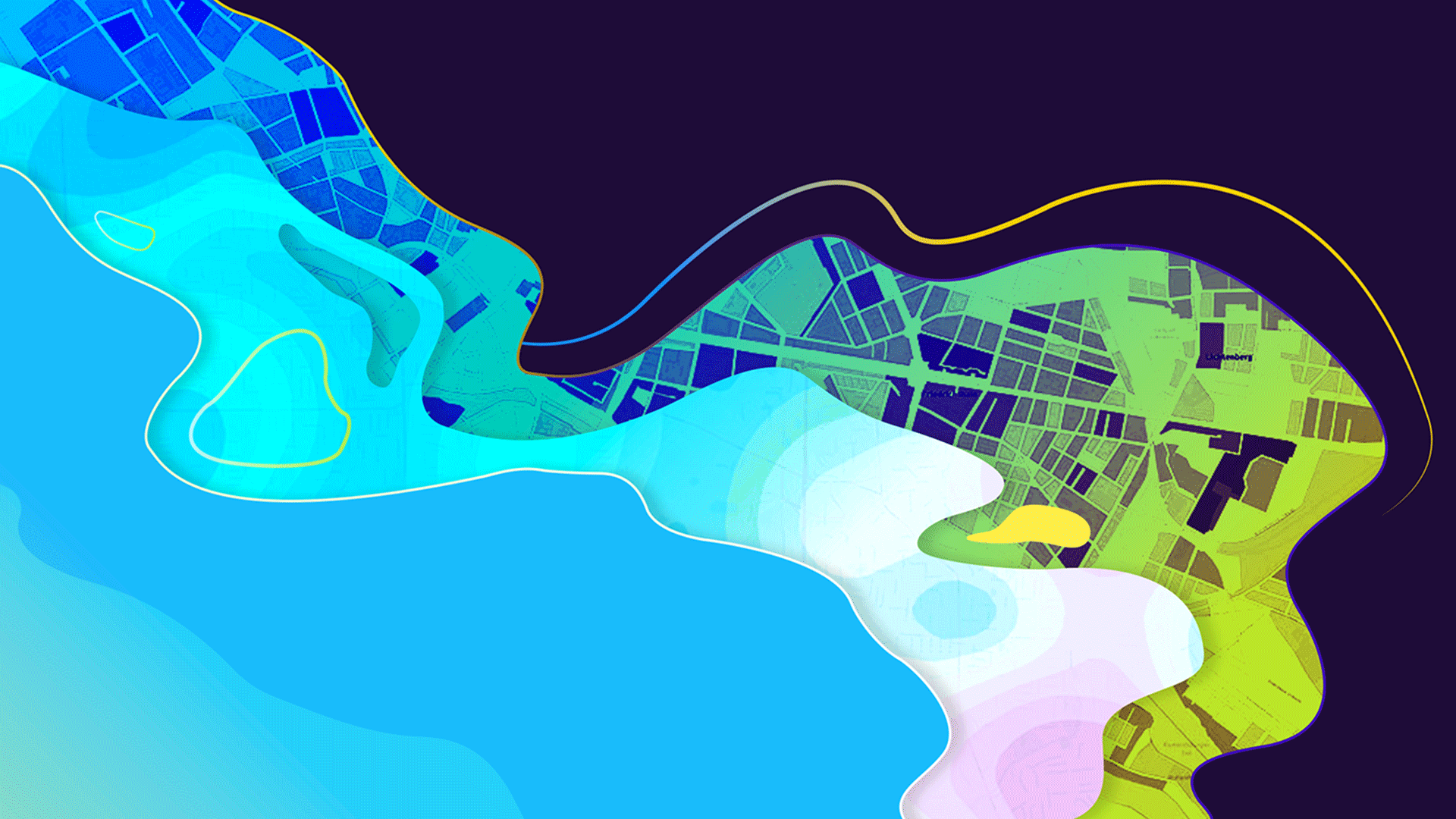
ArcGIS 10.4 introduces many new tools for visualizing, analyzing, and effectively communicating in both 3D and 2D.
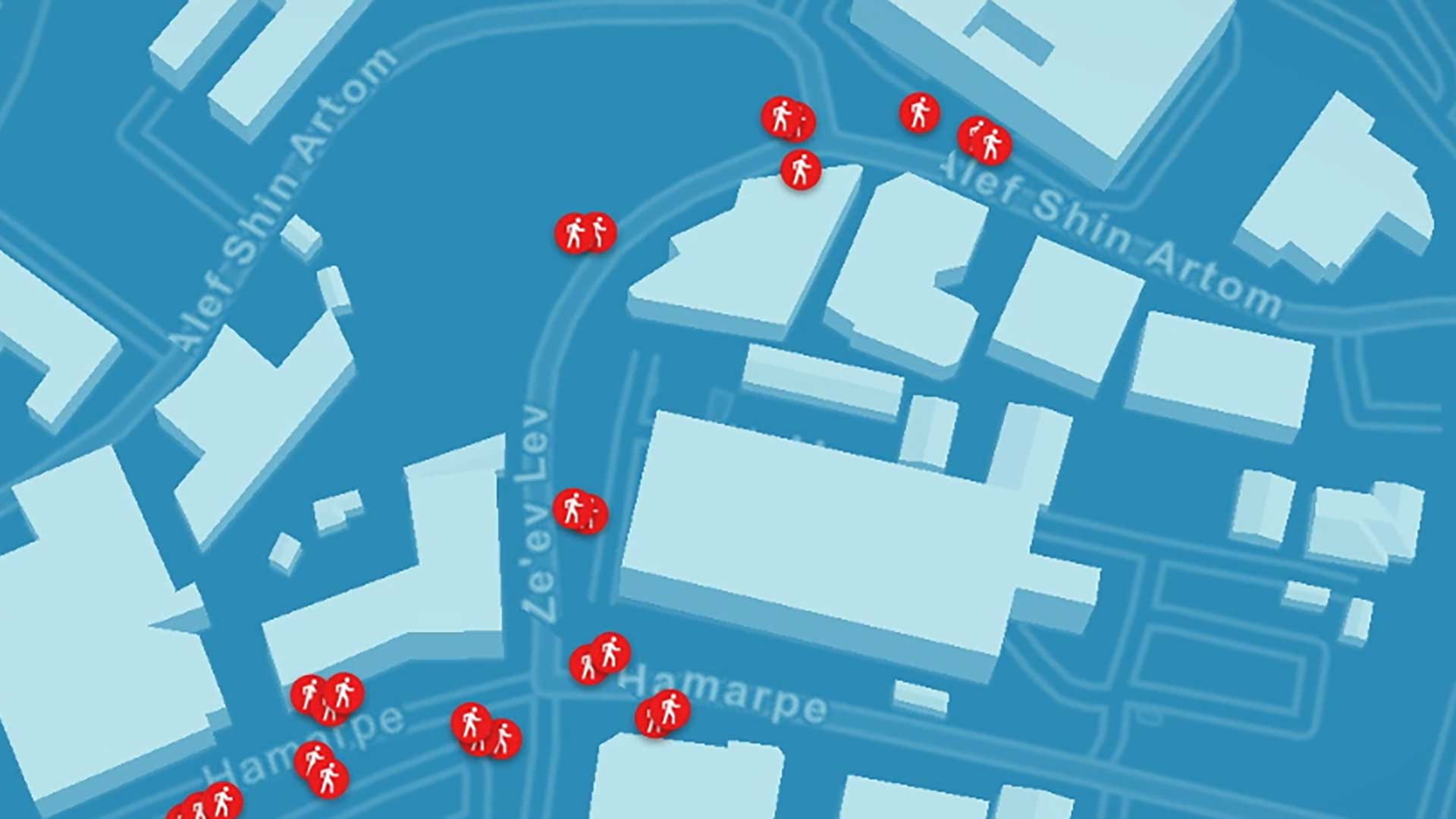
The spatial analysis capabilities in Esri’s software is used on the data collected by Mobileye's image recongition software.
Esri’s Developer Summit, held March 5–9, 2018 showcased the latest innovation in mapping and GIS for software developers.
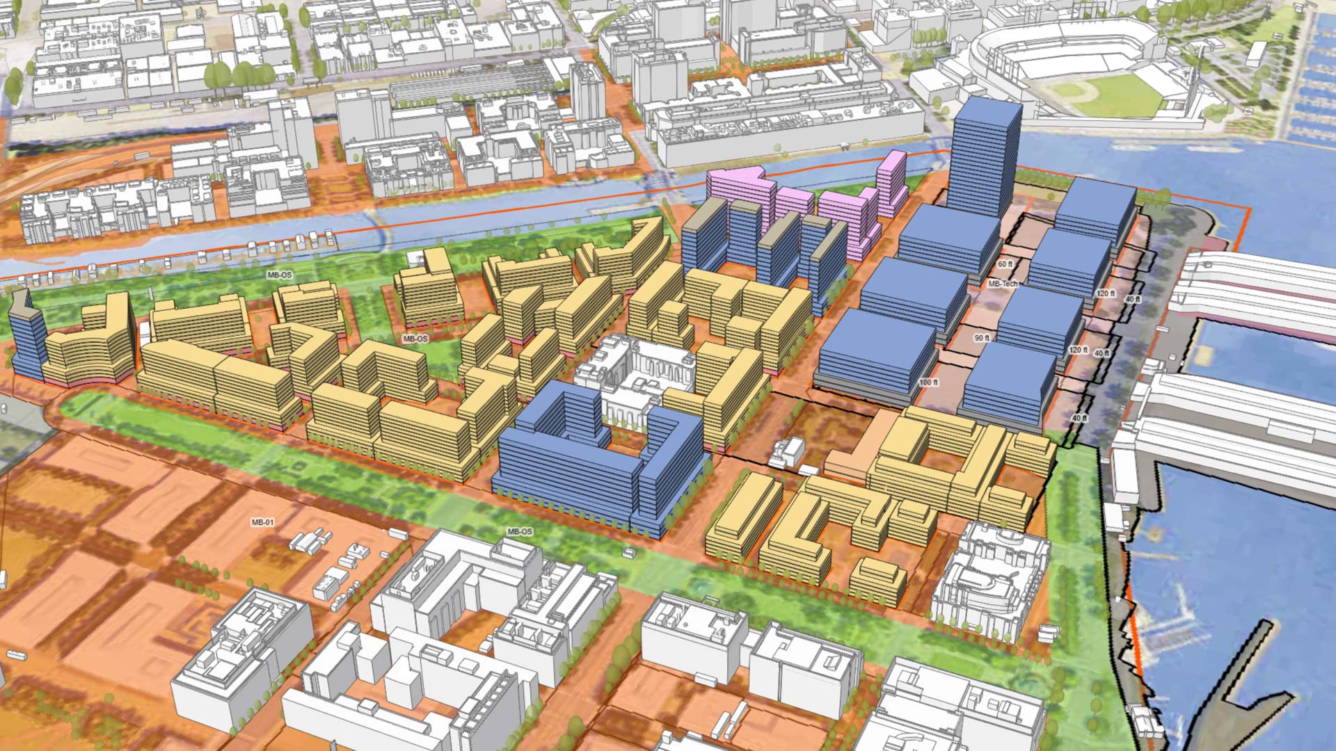
Users have more flexibility when sketching buildings, can get real-time feedback on goals, and have more tools for collaboration.

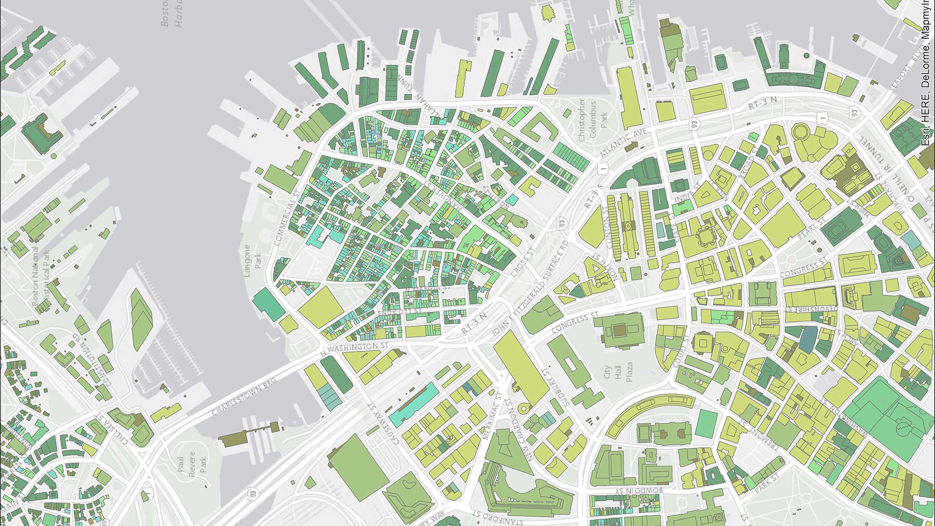
The March update to ArcGIS Online includes new 3D capabilities, a refreshed user profile page, and additional editing permissions.
ArcGIS Map Search, a new capability in ArcGIS Maps for SharePoint, makes it easier to map and search SharePoint content.
ArcGIS Online now has five new User Types, which match user characteristics with GIS capabilities and apps. Which User Type are you?