displaying 3999 results
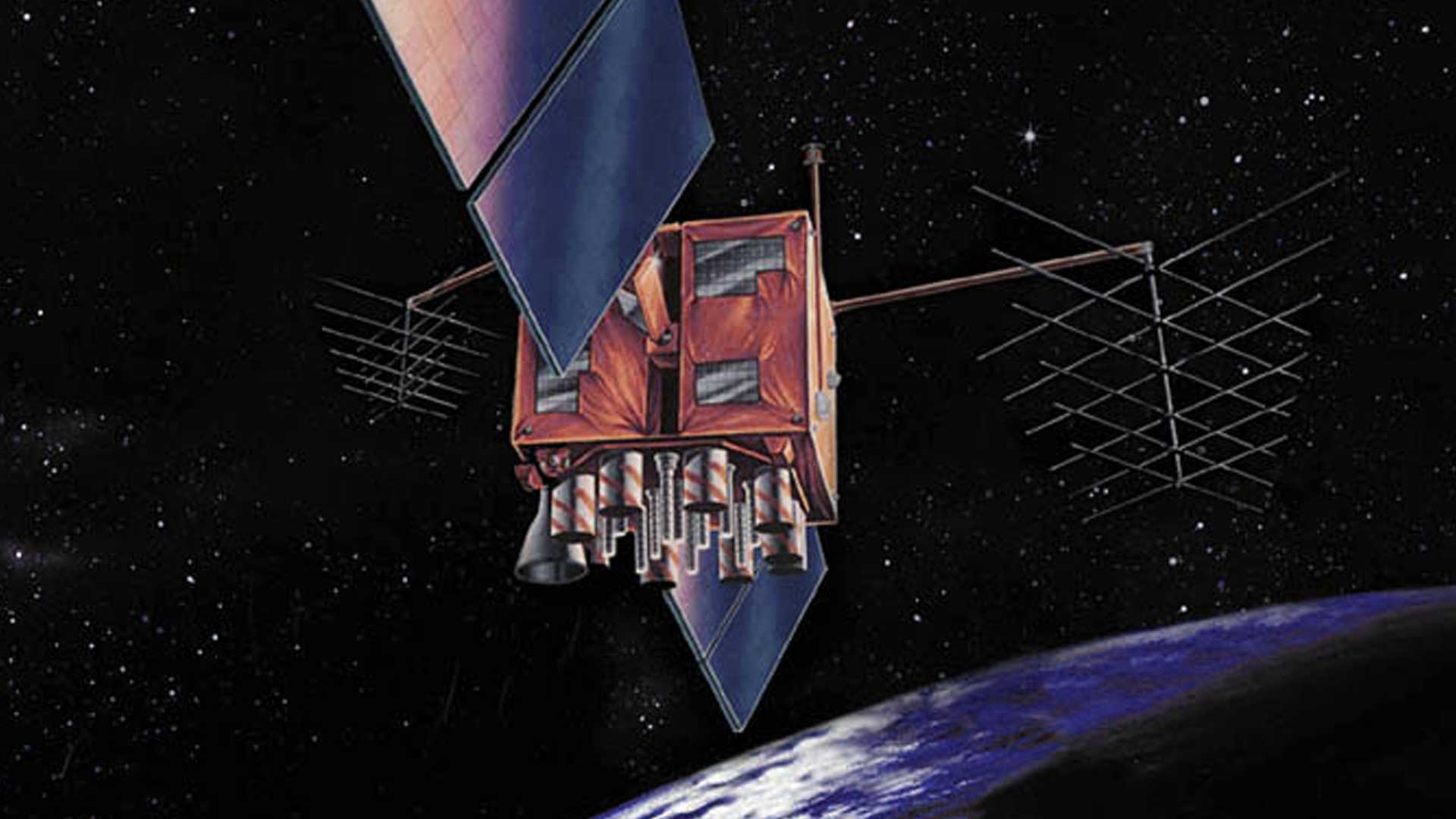
Differential correction techniques for data collected using global positioning system (GPS) explained.

While geospatial data is key to science, governments, and businesses, it is difficult data to share securely. But a solution is coming.
ArcGIS Online makes data easy to find, access, explore, and share. Do not get trapped in four of the most common data dilemmas.
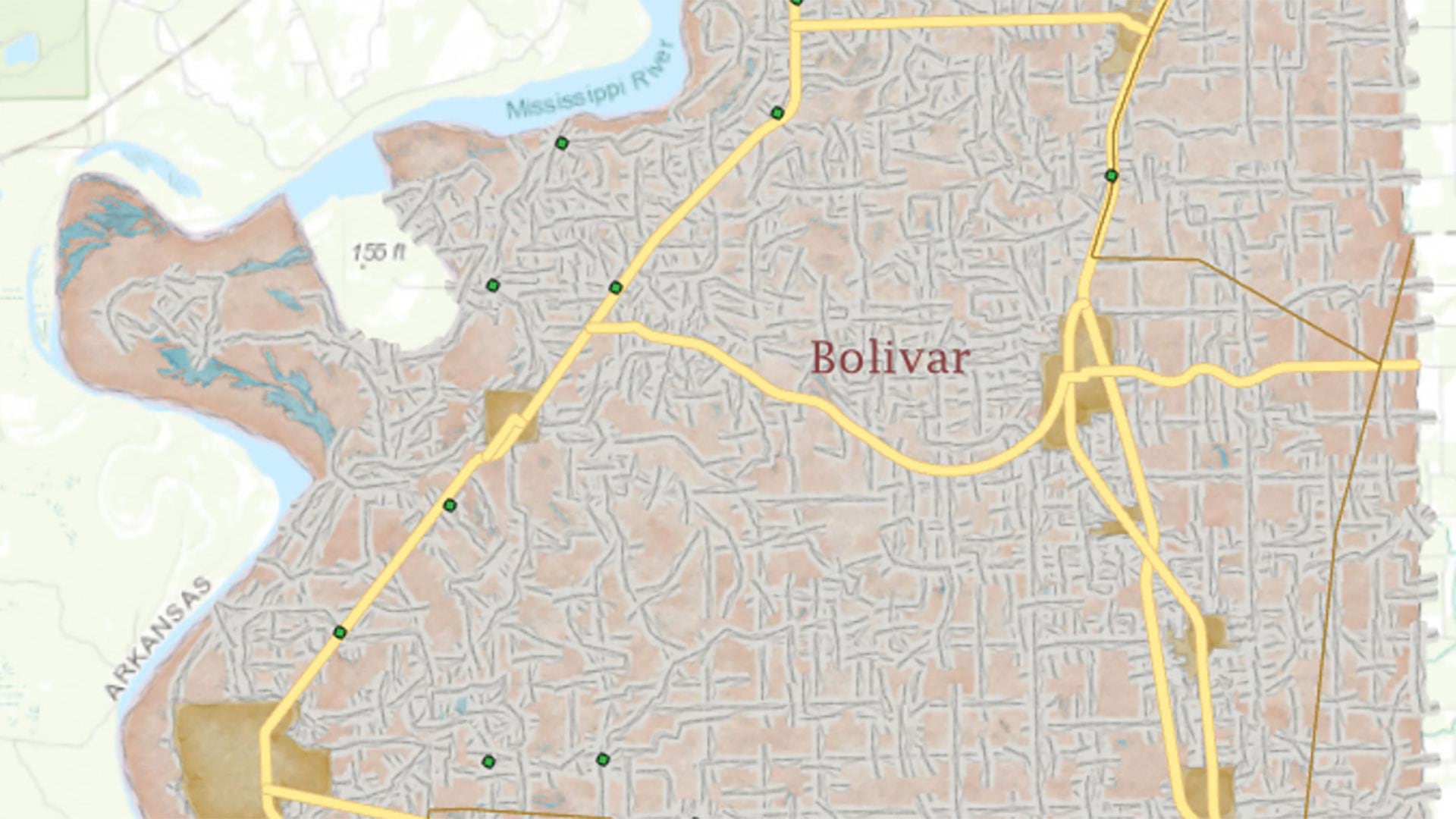
This tutorial walks you through the process of generating a precision reference map using data from a statewide portal.

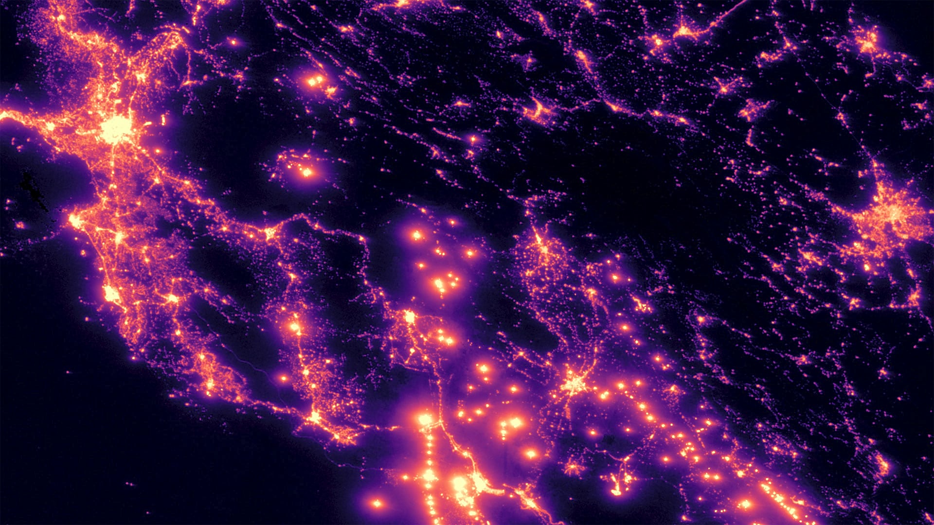
With ArcGIS GeoAnalytics Engine, it takes minutes—rather than hours or days—to process massive volumes of spatial data.
Students need opportunities to learn about data, and companies need to invest in data literacy. That’s where UMass Global comes in.
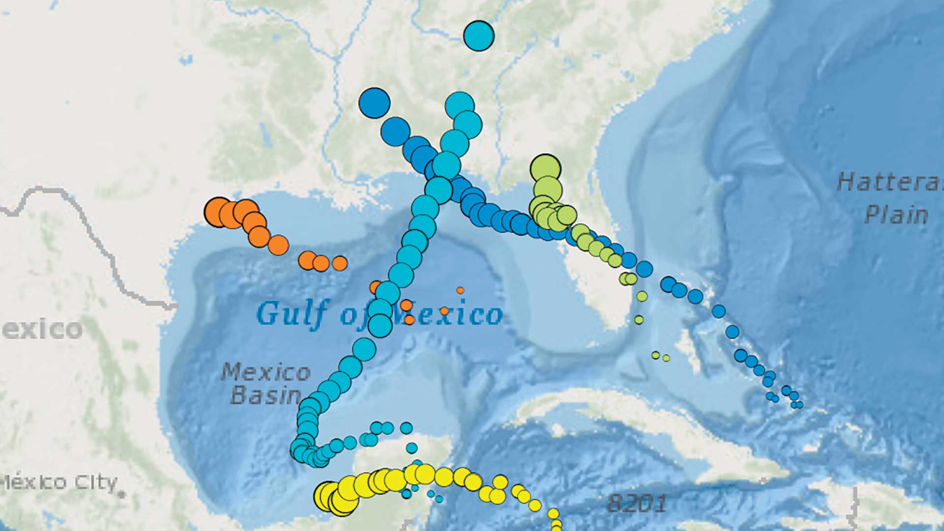
Time is an important dimension in GIS analysis because it adds when to the where and what of data.

As buzzwords go, big data and the Internet of Things are high decibel. It's time for a reality check on what's real and what's hype.
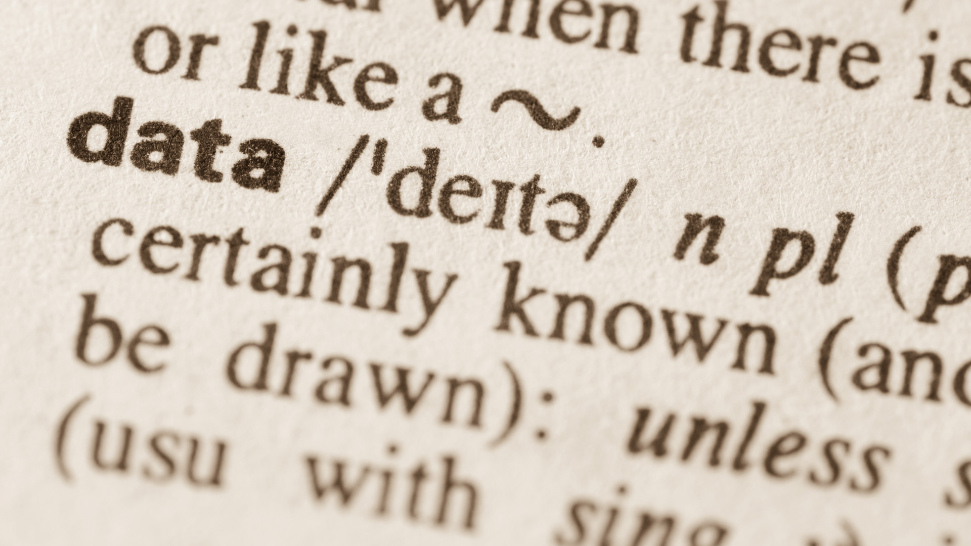
Reflections of the role of geography and GIS in data science.