displaying 1006 results
Authored by Dr. Tom Koch, this book traces the long history of how maps have been used to help unlock the mysteries behind the cause
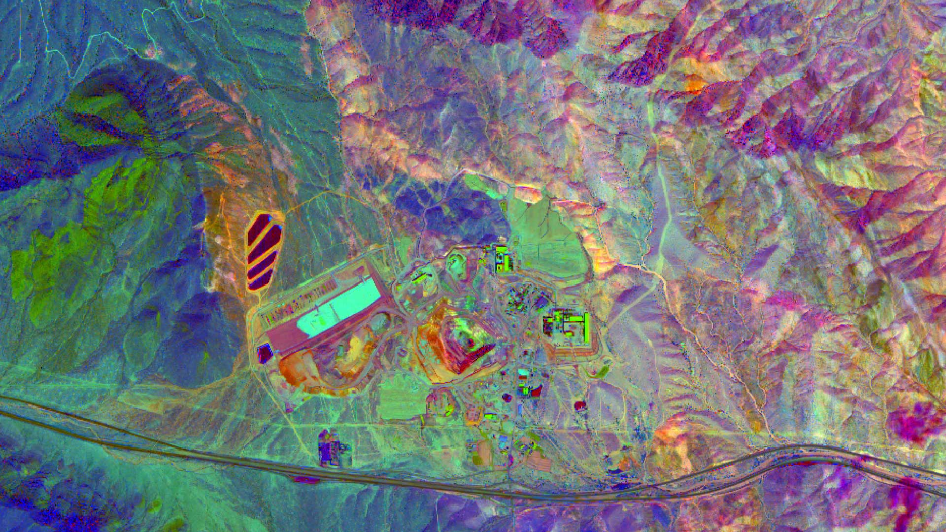
High quality imagery helps in finding mineral and petroleum deposits and Esri ArcGIS can be used to process, enhance, and analyze those images.
After Typhoon Haiyan struck the Philippines last November, the United States government made a vast amount of DigitalGlobe imagery available...

VTCO Labs used drones and Site Scan for ArcGIS software to gather aerial imagery needed for a 3D model of a snowboarding competition venue.
The 9-1-1 agency serving counties around the Dallas-Fort Worth metroplex uses drones to create an up-to-date map for accurate emergency routing.
Imagery and GIS have a symbiotic relationship: Imagery is the foundation of most GIS datasets
Using GIS and image analysis software, the strengths of sonar, lidar, and optical imagery can be exploited together.
ArcGIS Video Server makes it easier for organizations that gather video content to seamlessly integrate this with all their other data.
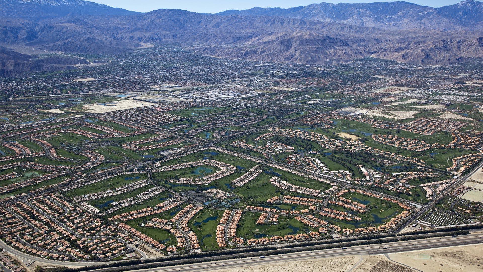
Coachella Valley Water District uses GIS to manage its precious aquifer that makes agriculture and cities possible in the desert.
ArcGIS Open Data functionality, previously in beta, was officially released and localized in 24 languages. With the Open Data feature in ArcGIS…

The San Francisco Estuary Institute worked with partners to develop an automated workflow for validating trash monitoring methods.
The Landsat program is a series of earth-observing satellite missions jointly managed by NASA and USGS.