displaying 594 results
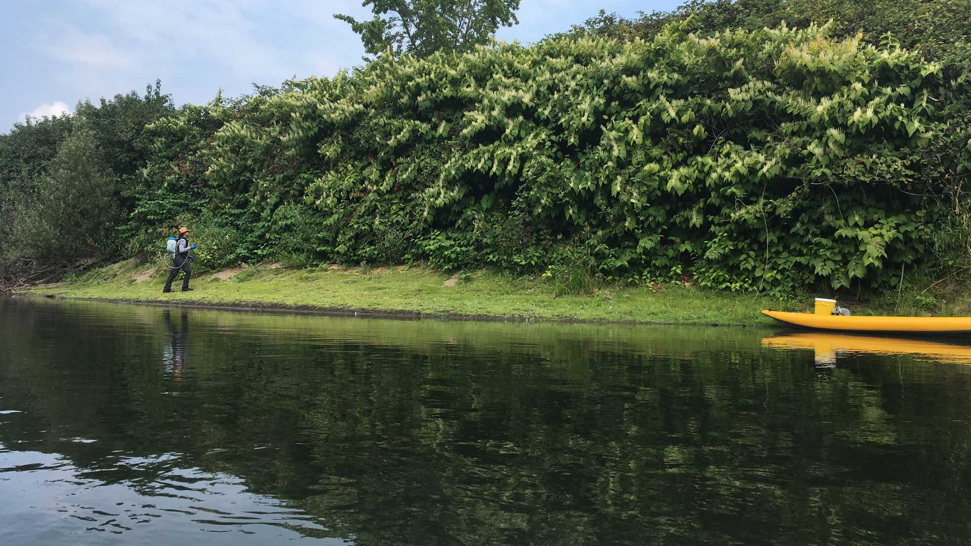
Using ArcGIS QuickCapture, King County, Washington, gets improved information about invasive plants.

The focus of three new Esri books will be how to use GIS for science, smarter government, and the census with a fourth devoted to geodatabases.
Artificial intelligence (AI) and GIS are intersecting, opening up massive opportunities that were never possible in the past.
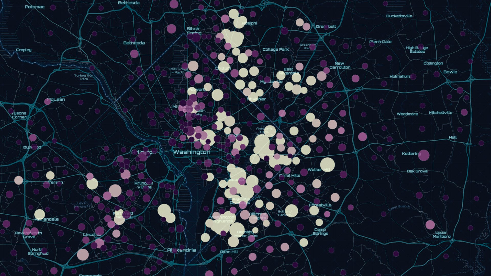
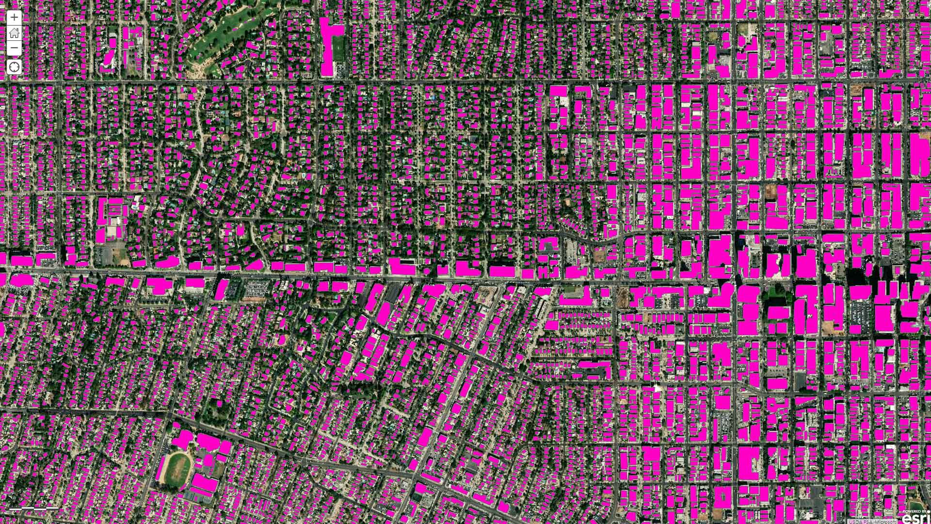
The preauthored maps in the new Esri Maps for Public Policy app foster collaboration and drive fact-based decision-making.
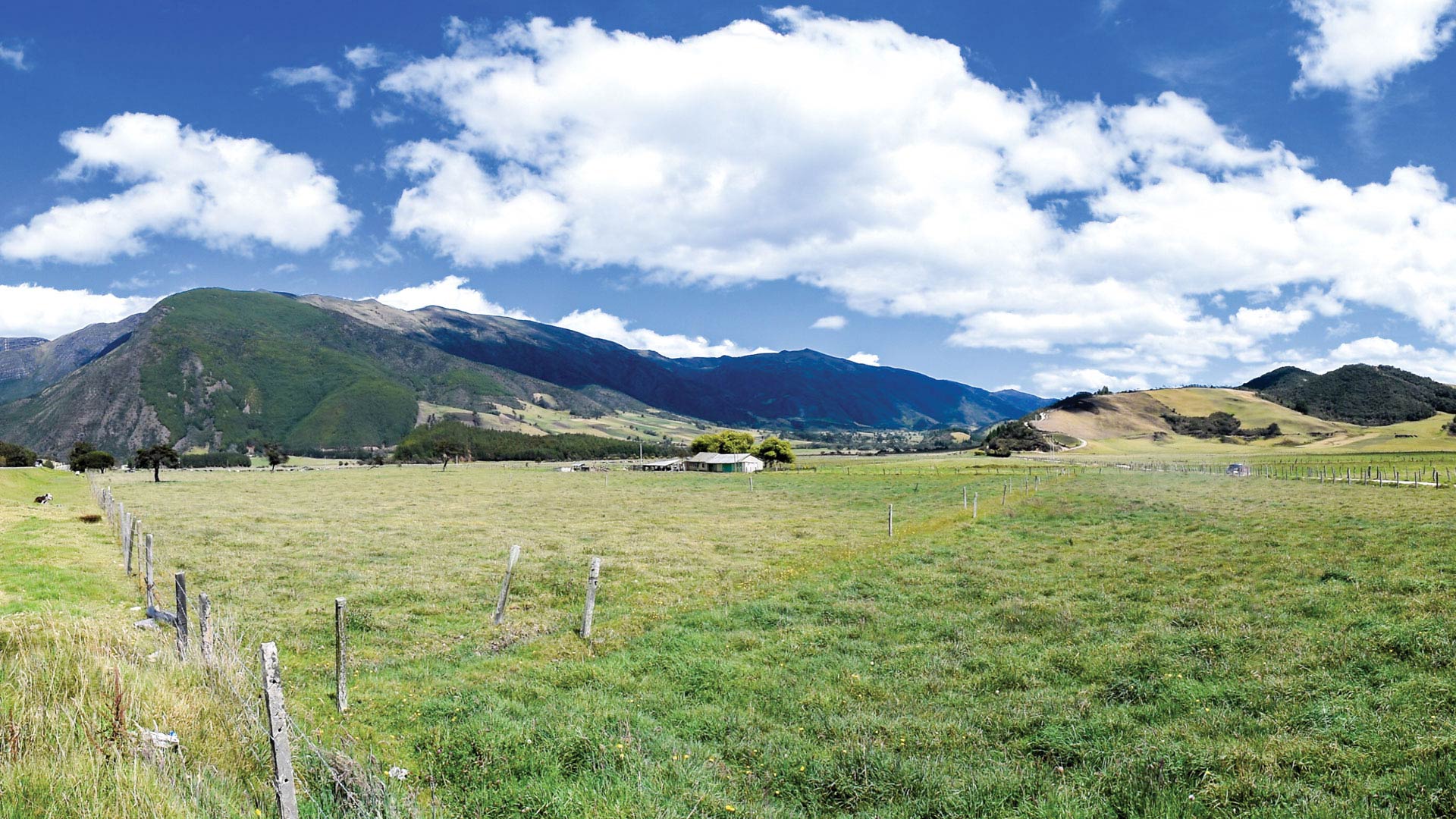
Following six decades of conflict, Colombia is using versioning, modeling, and satellite imagery to ensure accurate land rights.

During the Ferguson Fire, ArcGIS technology transformed resource advising from a cumbersome process into a near real-time operation.

The new Maps for Public Policy web app from Esri provides free access to preauthored policy maps, allowing anyone to explore community issues.
Portuguese paper companies are increasingly taking more heed of their environmental and social responsibilities.
The United Nations (UN) has undertaken an ambitious challenge to help countries achieve an extensive collection of social and economic...

Brazil’s Bahia State Electricity Company, Coelba, built a web GIS app that enables staff on the sales, planning, design works, and maintenance te

Utility Network for ArcGIS is the next generation of network management for utility, pipeline, and telecommunications companies.

Esri shelves printed training books in favor of digital versions with color maps and other features.