displaying 603 results
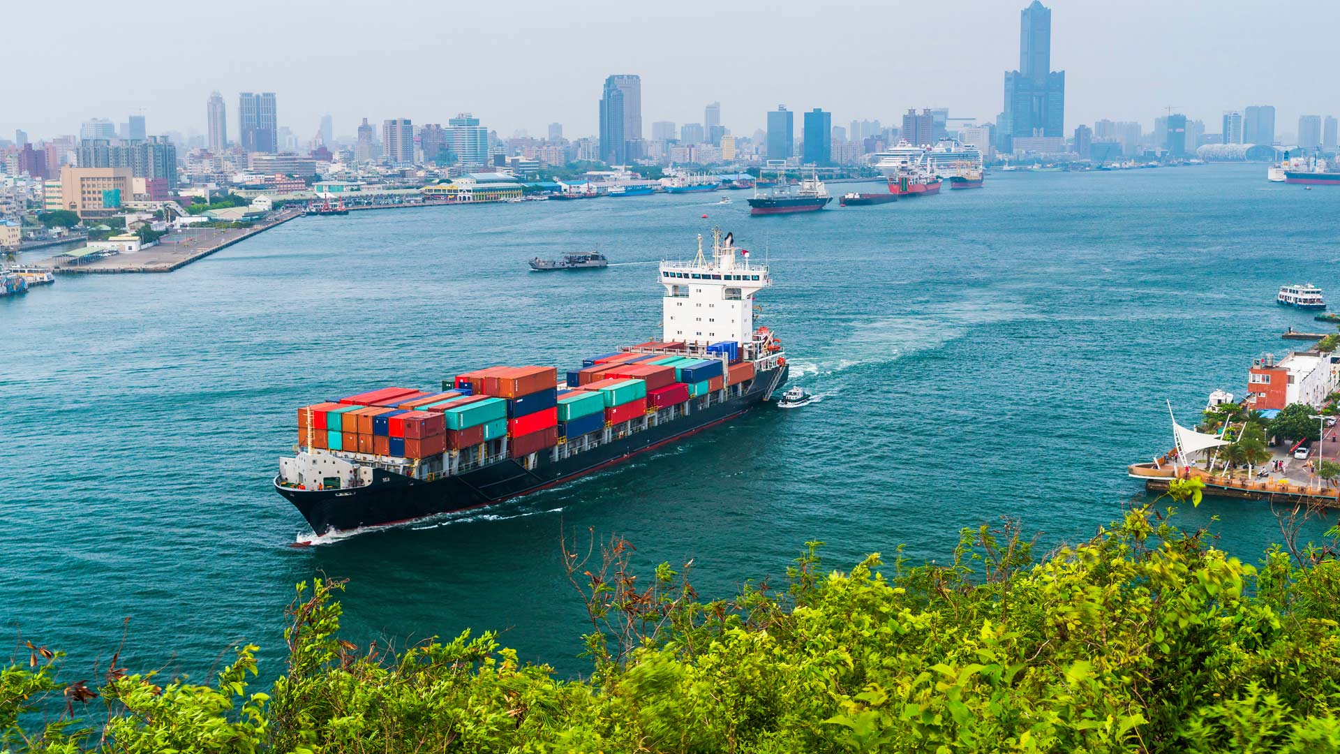
The Port of Rotterdam bustles like a metropolis. The Netherlands port handles more commercial shipping than any port in Europe and more than mos…

At real estate giant CBRE, an executive unlocked the potential of location intelligence, turning maps into stories that help close deals.

Home buyers will now see a climate risk score on their dream house. Will it change where they want to live?
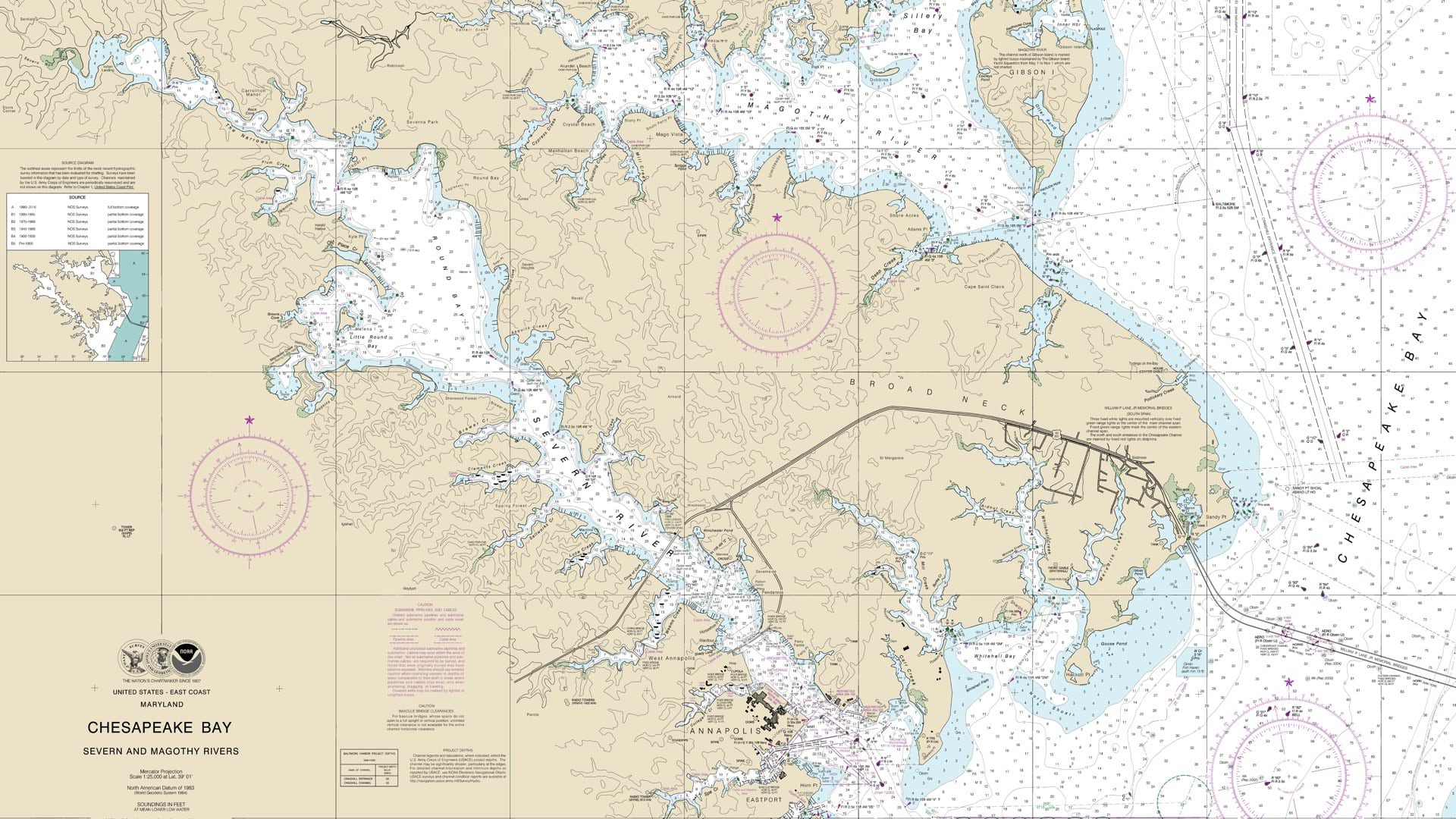
NOAA is leading the world in phasing out paper charts, embracing the advantages of Electronic Navigational Charts.
ArcGIS Maritime now integrates with ArcGIS Field Maps, taking Electronic Navigation Chart production out of the office and onto the water.

The International Cartographic Conference, being held in South Africa, will show how cartography is contributing to sustainable development.
Texas businessman David Hicks is on the front lines of creating a smart community—using technology to improve the quality of life...
This tip uses live web maps to demonstrate how to use the Ocean Basemap in combination with ArcGIS Online to visually analyze data.
Walgreens and other companies reveal how GIS is changing the way they do business.

Each year, Esri acknowledges outstanding partners that deliver innovative solutions and services to extend the ArcGIS platform.

Geospatial data allows us to understand our current state, forecast challenges, and identify root causes of climate change.

Differential correction techniques for data collected using global positioning system (GPS) explained.