displaying 918 results

Celebrate GIS Day virtually, generate high-res 3D content, and find out how UN-Habitat uses GIS to build sustainable urban spaces.
Despite a global pandemic, the Esri community from around the world joined together in July to watch the first virtual Esri UC.

Esri’s new racial equity initiative aims to help users leverage location intelligence to address issues that revolve around race.
The first virtual Esri User Conference (Esri UC) engendered a global camaraderie and a hope for creating a geospatially literate society.
Business schools at colleges and universities are increasingly integrating location analytics into the curriculum. How will this help students?

The big challenge in the early days of GIS was a lack of digital geographic data. In much of the developing world, this is still the case.

Create maps that represent individuals, houses, or anything else you can count, with the dot density mapping style in the Map Viewer beta.

More time to read now that you telecommute? Pick up a copy of Python Scripting for ArcGIS Pro, or one of seven other new books from Esri Press.

ArcGIS Maps for Adobe Creative Cloud allowed a small team to produce detailed visualizations of the project in less than two weeks.
ArcGIS Enterprise was key to the four-day drill, which aimed to maximize the government’s emergency preparedness and response efforts.

A cycling organization accurately maps mountain biking trails in Québec, Canada, using ArcGIS QuickCapture and high-accuracy GNSS receivers.

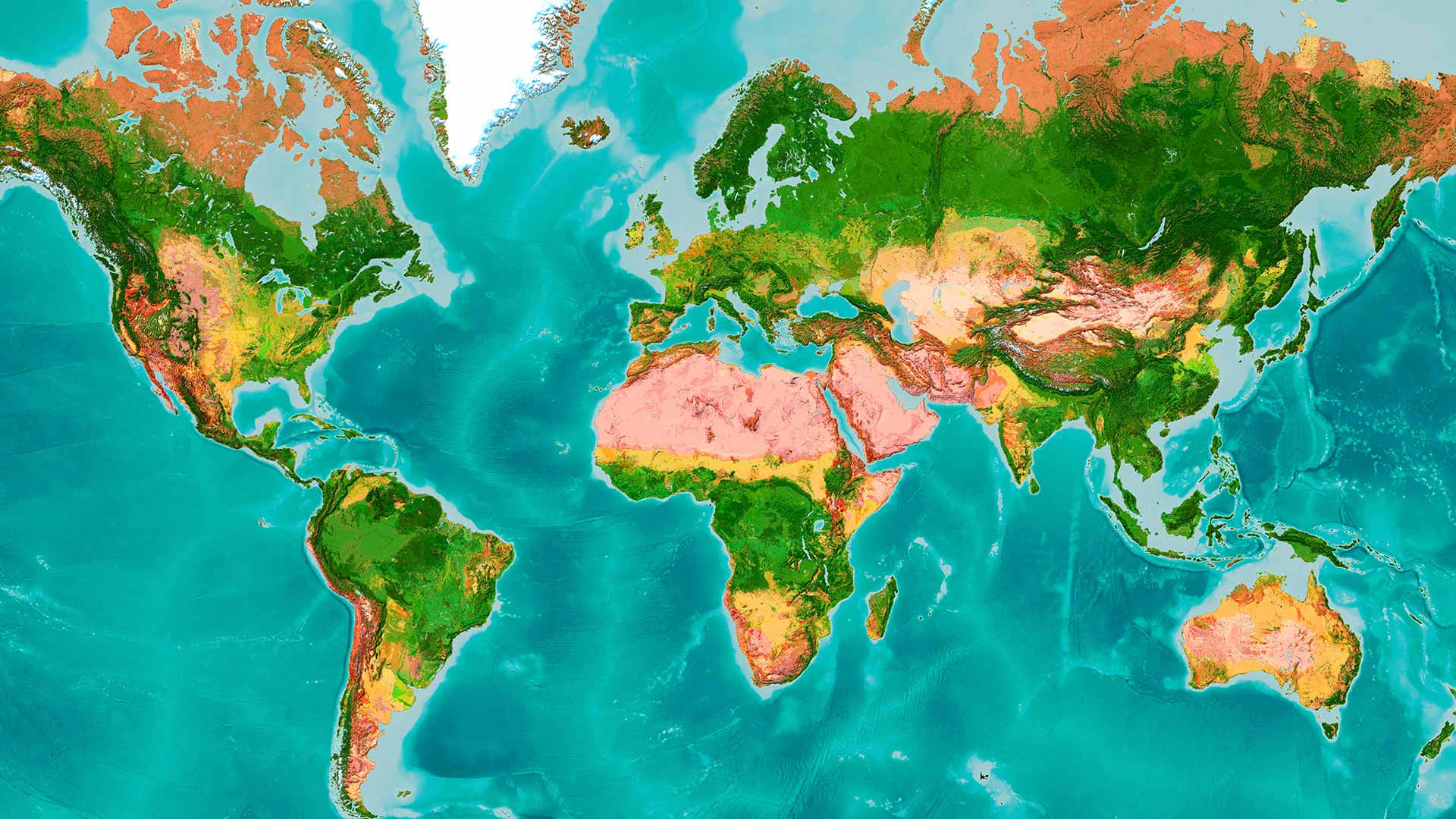
Geography sits at the confluence of people, place, and the environment and is essential to understanding and exploring the world.