displaying 918 results

Esri platform selected to chart Danish waters, ArcGIS Hub meets new federal open data requirements, and ArcGIS for Developers is relaunched.
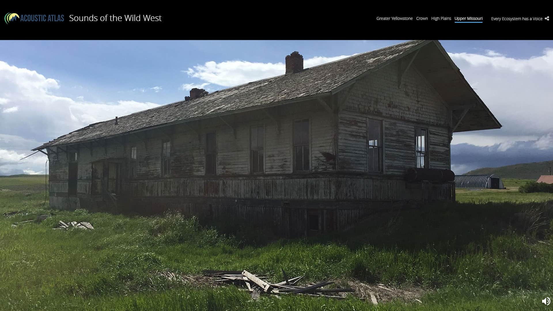
“Sounds of the Wild West,” created using an Esri Story Maps app, brings to life the sights and sounds of Montana's four major ecosystems.

Manitou Springs, Colorado, used geodesign and GIS to involve the community in the site selection process for a walking and biking trail.

Combining the ArcGIS platform with industry expertise, Esri partners are contriving innovative ideas that solve complex problems.

The Ecological Marine Units (EMUs), composed of a point mesh framework of 52 million global ocean measurements.

With GIS and a green infrastructure model, Richland County, South Carolina, found scientific support for strategic conservation.

Three Esri startup partners use ArcGIS to track web map navigation, evaluate pavement conditions, and automate compliance documentation.

Web Mapping App from Esri Canada Helps Diverse Countries and Indigenous Populations Share Data


For Karen Beardsley, GIS is more than software. It gives rise to relationships that can change the world.
Measuring the time it takes to travel from one place to another has little bearing on determining how livable an area is. Instead, what really...
By 2020, it will be feasible to find GIS data for any park or other protected area in the United States.