displaying 778 results
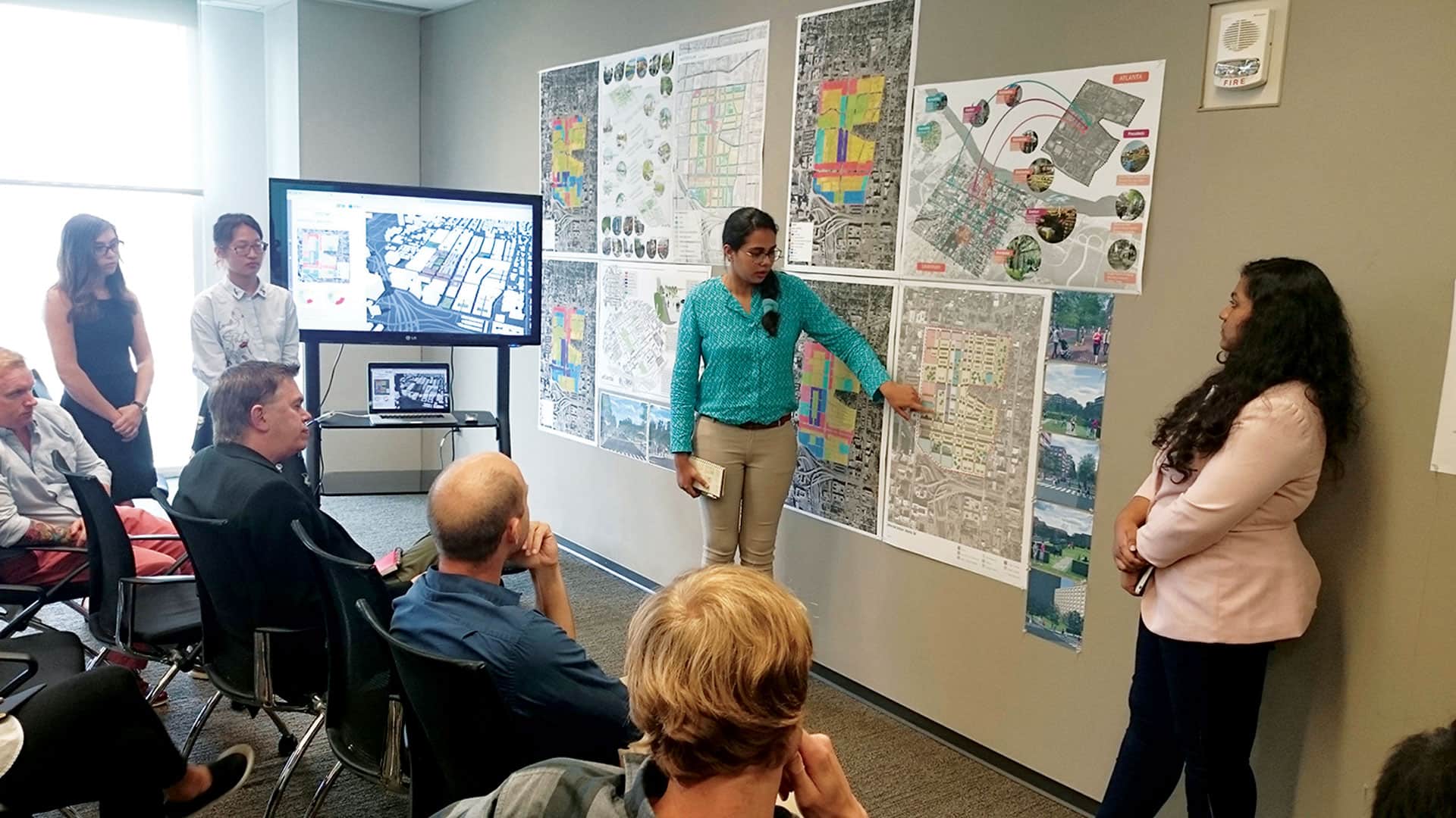
Grad students used modern geospatial technology to redesign Atlanta’s Old Fourth Ward and study urban design principles.
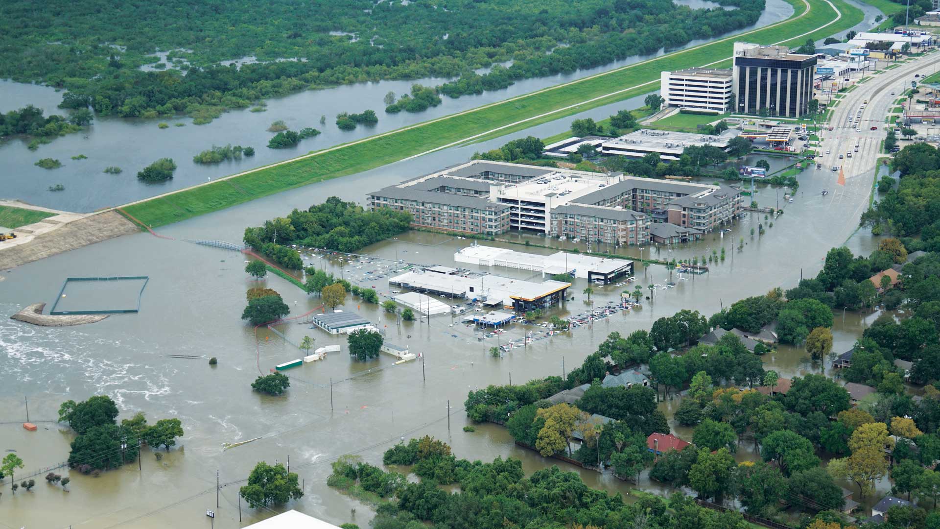
When Hurricane Harvey made landfall in Texas last August, several agencies were already creating inundation maps thanks to work by UT and Esri.
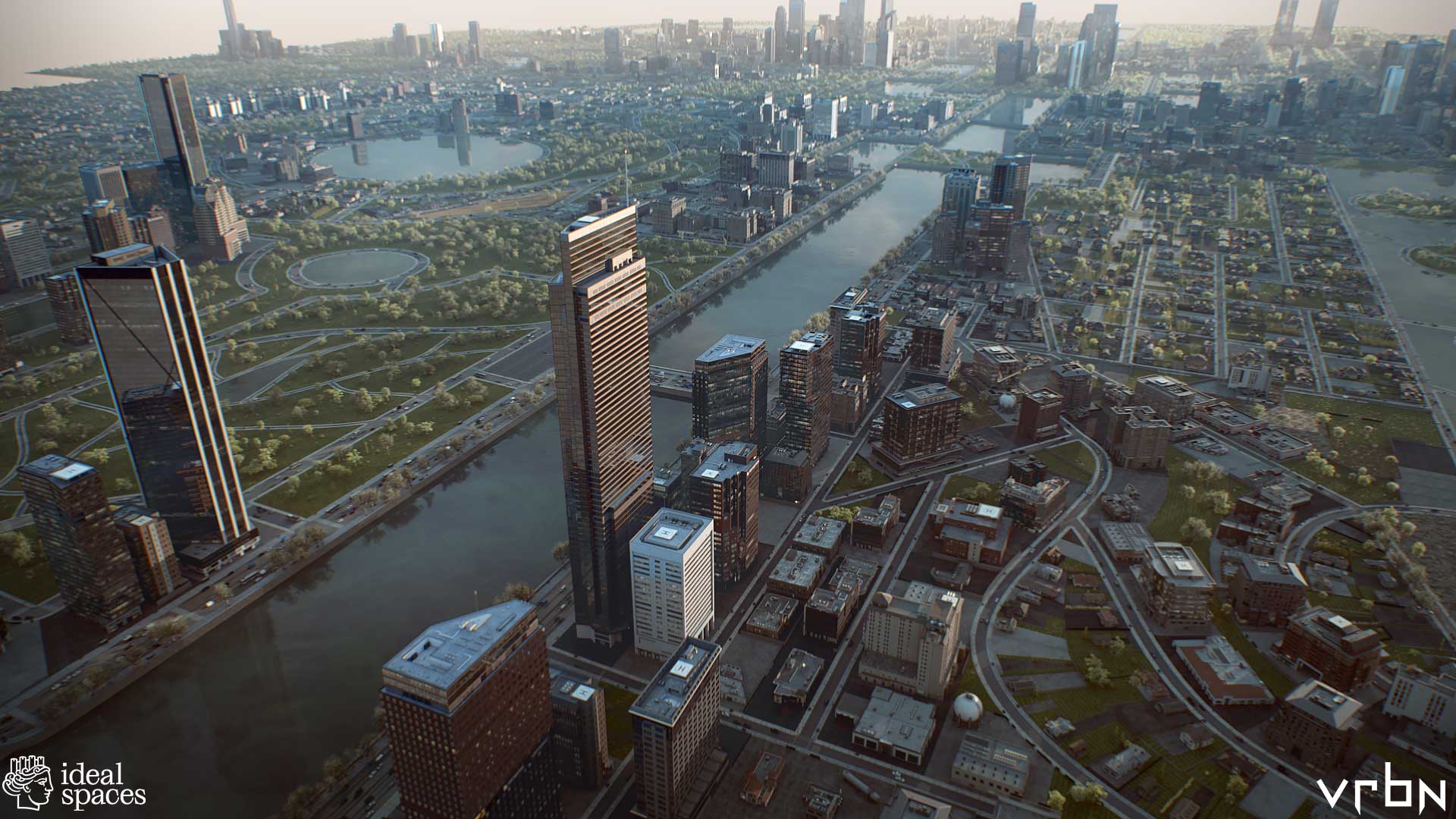
Utopian Disruption uses GIS to envision an ideal city space in 3D.

Deaths from extreme summer heat are preventable so public health teams use online maps that show neighborhoods likely to experience extreme heat.
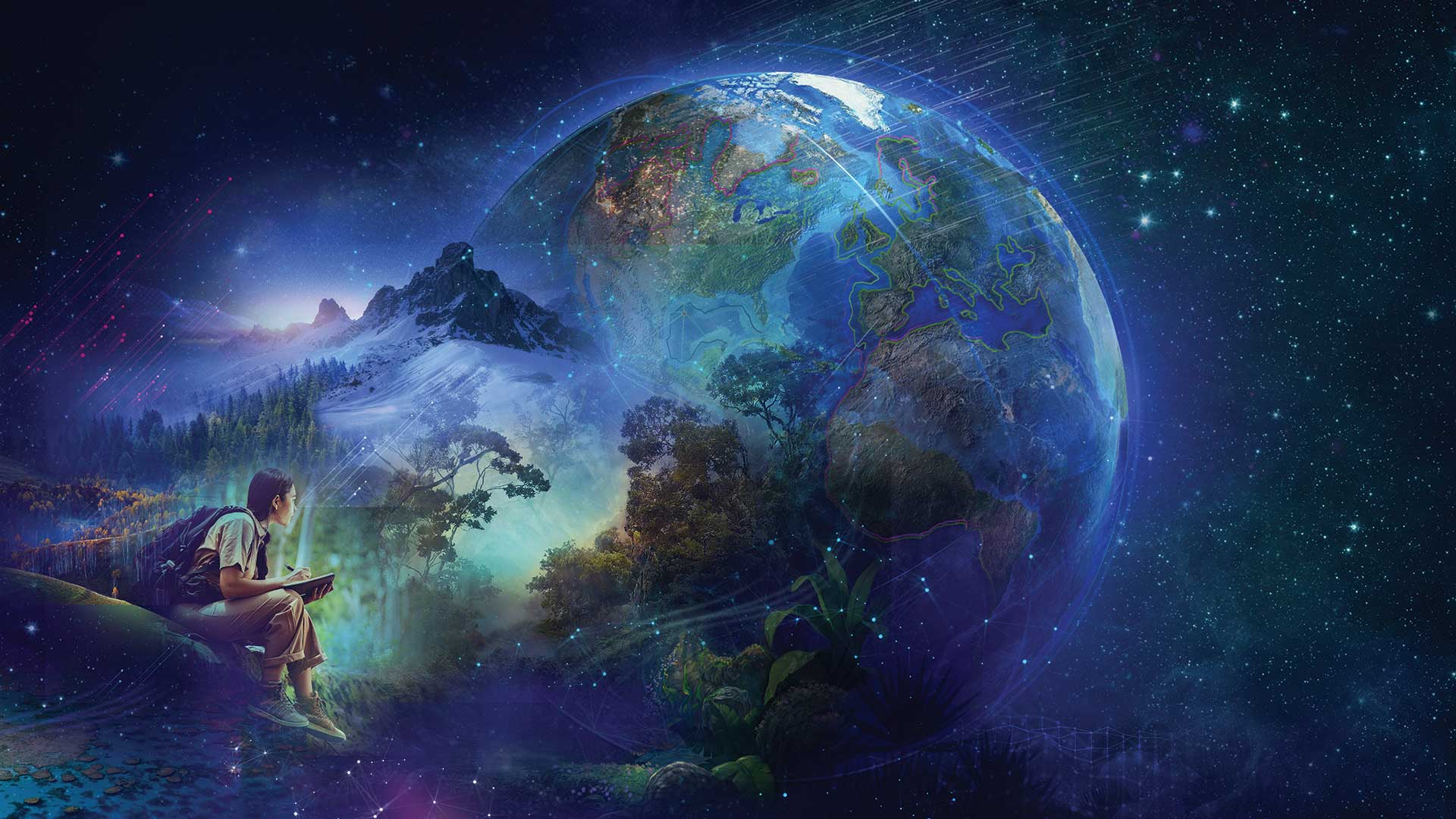
Yes, digital transformation is still a thing. It always will be.
Places data can be a valuable source of location-based context for users in applications that support mapping, analysis, and decision-making.

Use cloud data warehouses with ArcGIS Pro and ArcGIS Enterprise to extend the power of your GIS.

Haseeb Malik shares the strategies he used to rise to an executive role.

Economic mobility begins with affordable housing and affordable housing begins with zoning reform.
Presentations at Esri User Conference show how users are creating a better world with GIS.

Esri is contributing to scientific projects that are part of the UN Ocean Decade.
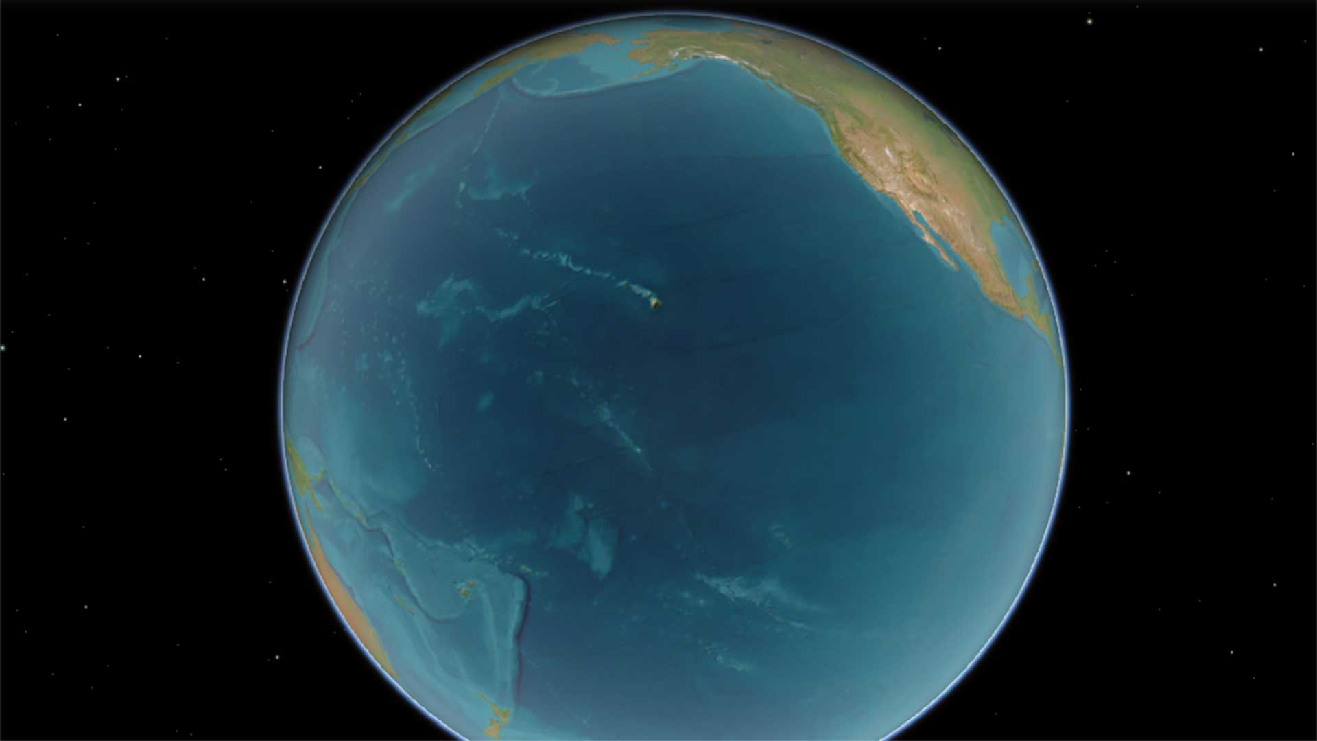
We need to see that the ocean’s problems are the Earth’s problems—it’s all one interconnected, interdependent world.