displaying 1414 results
ArcGIS platform uses AI, real-time analysis, and scalable process to help organizations realize better outcomes.
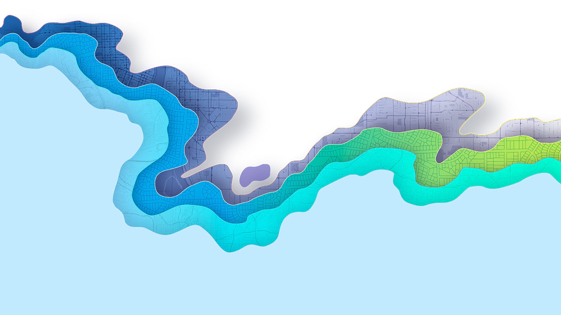
Your maps in ArcGIS Online will really pop if you use the new Effects capability in the Map Viewer.

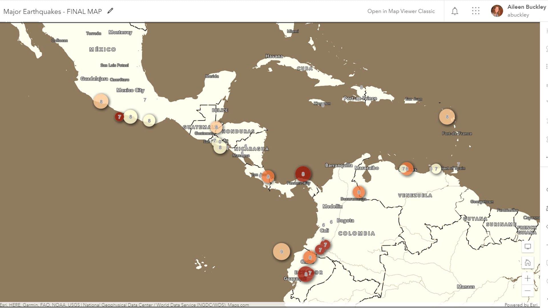
Launched in November 2023, ArcGIS Enterprise 11.2 includes a variety of new and improved analysis and data management tools.

Stop fighting fires all the time. Learn how to establish boundaries and grow as a department—and begin to look forward to new projects.

While searching for the four-year-old girl and her dog in a rural area, the massive search party relied on real-time GIS to track progress.

An emergency search and rescue team in Lee County, Alabama used ArcGIS location sharing software to locate a missing girl unharmed.

With COVID-19 transmission now due largely to community spread, it’s imperative to adopt a location-focused approach to contact tracing.
New ArcGIS extension engages a broad audience of users and stakeholders in the quality control process.
More than 2,000 people attended the 2018 Esri Developer Summit in Palm Springs, California, coming away more knowledgeable about app development.
What attracts such a large flock of geospatial app developers to Palm Springs, California, to the Esri Developer Summit?
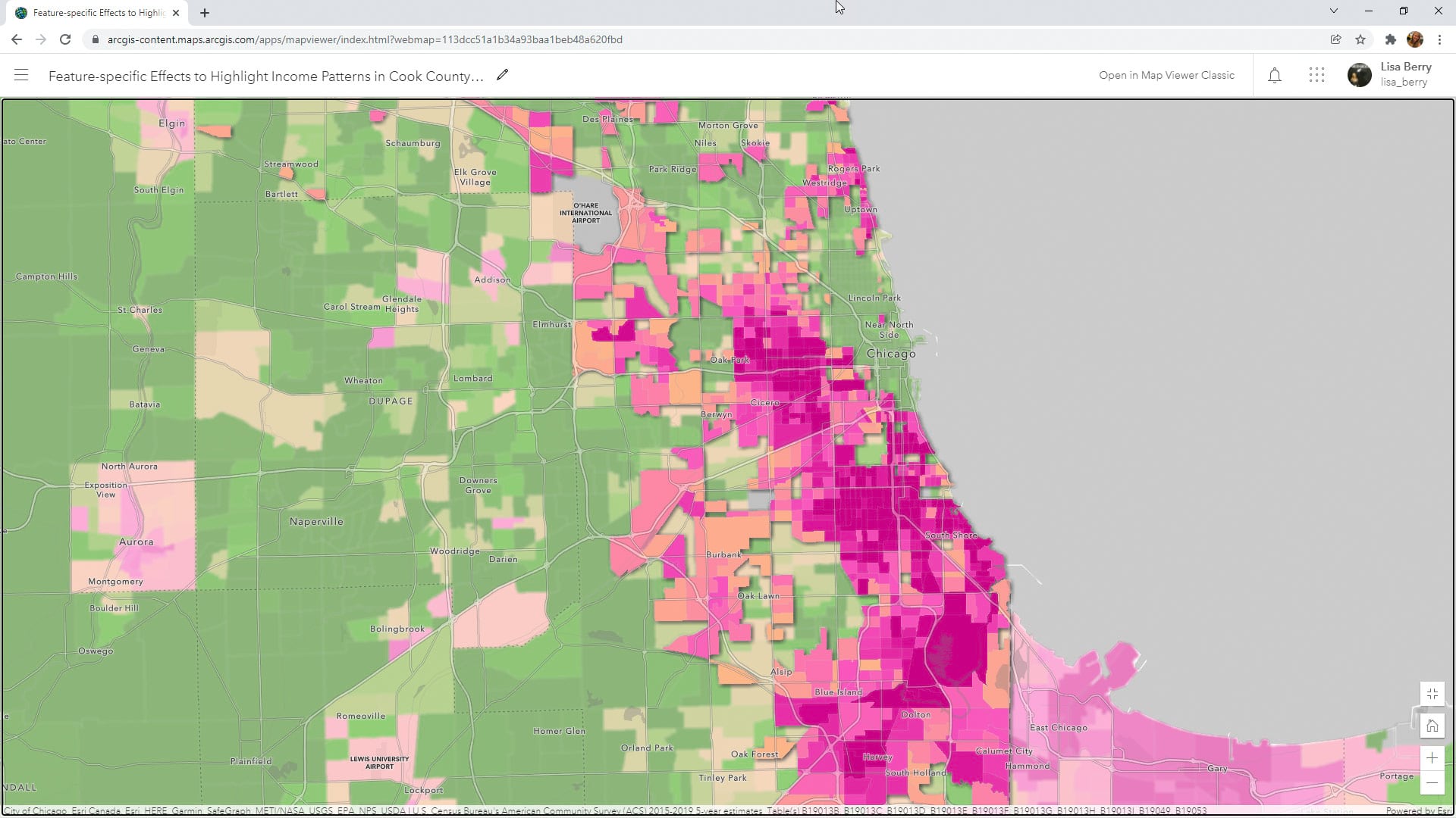
Learn to how to use a Map Viewer capability called feature-specific effects to emphasize a particular part of your map data.

Esri announced that client SDKs and APIs would be delivered under one name, as the ArcGIS Maps SDKs, beginning in December 2022.