displaying 74 results

The new Every Student Succeeds Act (ESSA) includes several programs that advance K-12 geography.
The American Association of Geographers (AAG) is leading an effort to develop and implement a new Advanced Placement (AP) course for students...
Geoinformation disciplines don’t receive the acceptance, understanding, and acknowledgment…
Esri's gift of free GIS software for all K–12 schools in the United States opens up new horizons for teaching.

Maps are magic because they have all sorts of different uses and raise all kinds of interesting thoughts and questions.

With GIS, international organizations can monitor and profile vulnerable populations to get them the help they need.
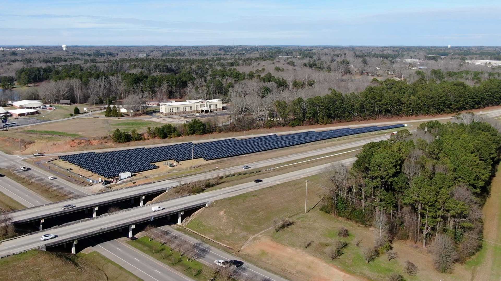
GIS analysis revealed land adjacent to highway right-of-ways that are excellent sites for placing solar panels.

GIS is being used to help thousands who were left behind when United States forces left Afghanistan.

National Geospatial Data Assets (NGDA) and Infutor geocoding now available in ArcGIS to improve geographic knowledge.
This tutorial teaches how to model first and bare earth returns from lidar.