displaying 1246 results
Learn to manage ArcGIS Online organizational account members, including assigning and unassigning licenses and adding members to groups.
In honor of the 50th anniversary of Earth Day, a variety of organizations support a new initiative to help clean up the planet.
Combining the ArcGIS platform with industry expertise, Esri partners are contriving innovative ideas that solve complex problems.
Just outside Washington, DC, in an office in the public works department of the City of Falls Church, Virginia
Thanks to a new enterprise geodatabase and Esri technology like ArcGIS Pro and Web AppBuilder for ArcGIS, the GIS manager in Falls Church...
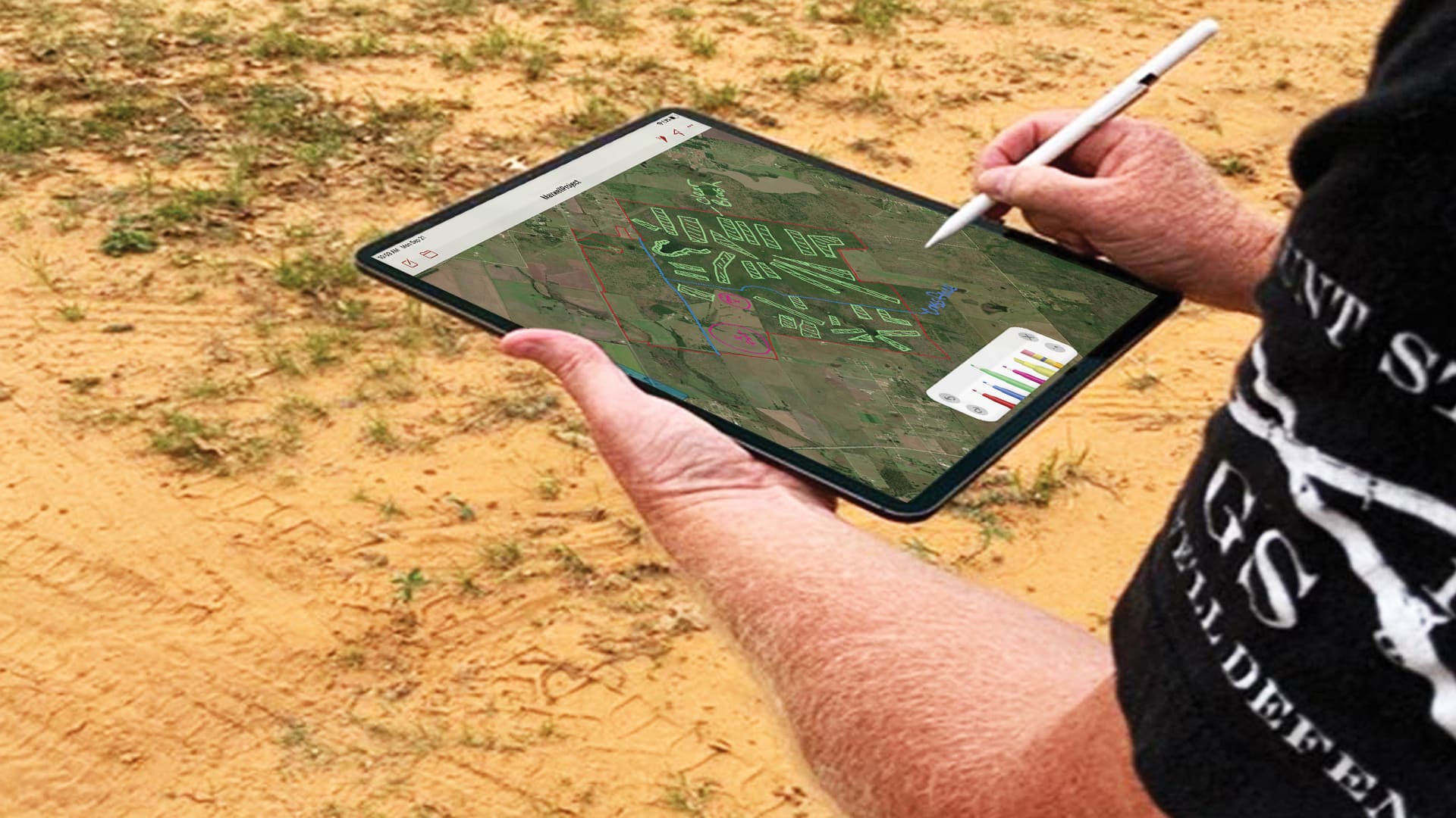
Spring Creek Outdoors, LLC, set out to find a user-friendly way to access maps in the field and annotate them.
D’Maia Curry and Joshua Clifford from Esri talk about the emergence of the mobile worker and mobile GIS.
Learn ways to efficiently manage your ArcGIS Online organizational account.
See how five Esri partners have used their GIS expertise to assist cities and citizens with planning, navigation, and geospatial technology.
Find out how Esri partners are making organizations and communities smarter by giving people access to a wide range of geospatial information.
Charlottesville Fire Department switched from conducting fire hydrant inspections with pen and paper to using the ArcGIS Field Maps app.
The Delaware Department of Agriculture has a strong history of preserving farmland. For 20 years, Delaware has purchased development rights from…


