displaying 1360 results
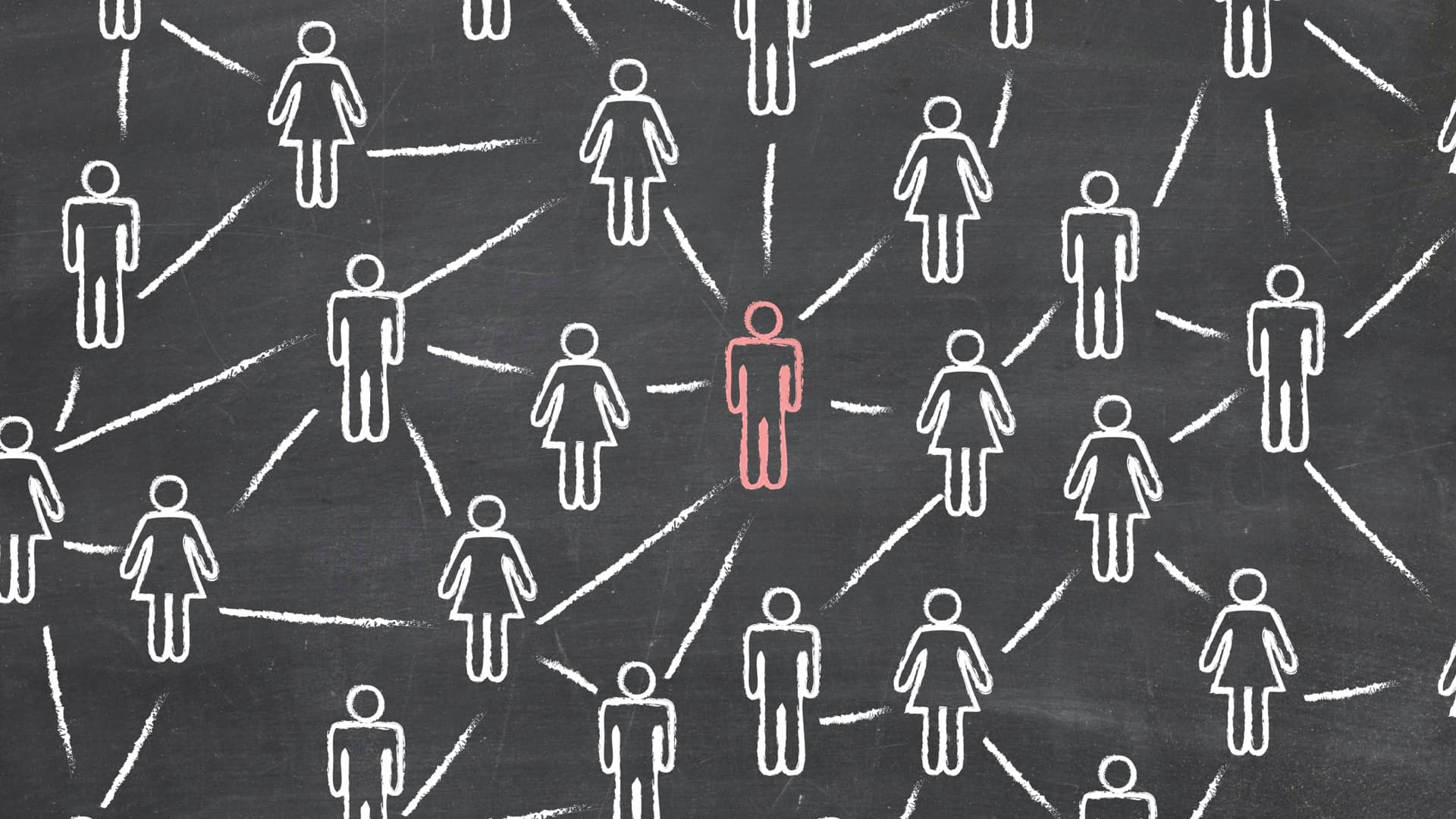
The Center for Human Dynamics in the Mobile Age uses a geographic lens to examine social media feeds to better understand human interactions.
Tri-County Health Department harnessed the power of GIS to build a workflow-driven case investigation and contact tracing tool.

Make your ArcGIS Online layers more valuable with an effective naming convention.
ArcGIS Hub allows governments to open up the powerful outputs from GIS to show how they are taking a data-driven approach to respond to the COVID

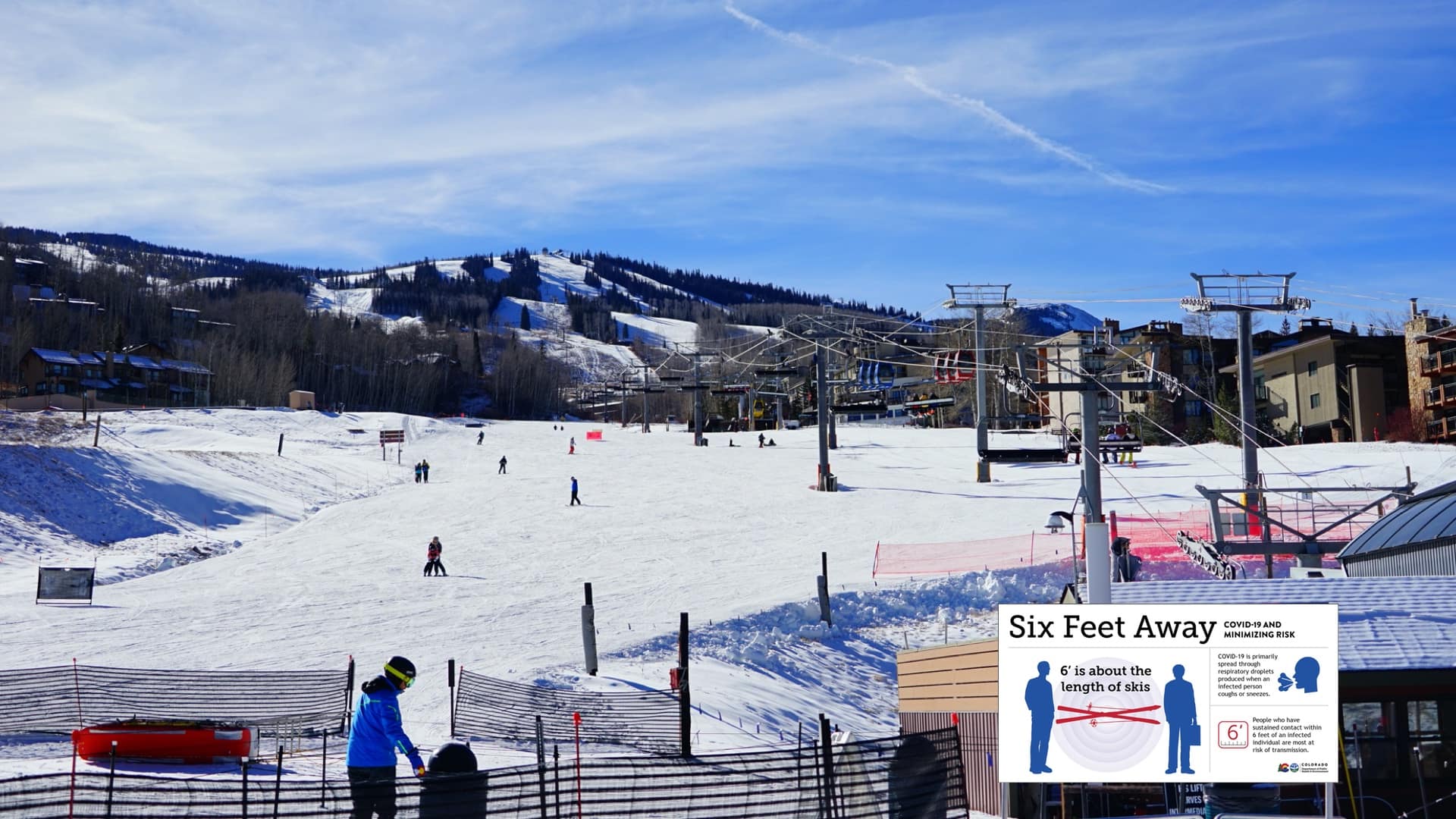
GIS users combine models and maps to explore hospital capacity forecasts and test different social distancing scenarios.
Johns Hopkins University published a now-famous coronavirus dashboard to track and fight the spread of COVID-19 cases.

E. O. Wilson’s unique perspective allowed him to see what others can’t—conceiving island biogeography, sociobiology, and biodiversity.

The combination of on-the-ground forest plot data from GIS and satellite data provides a whole new vision of the global forest system.
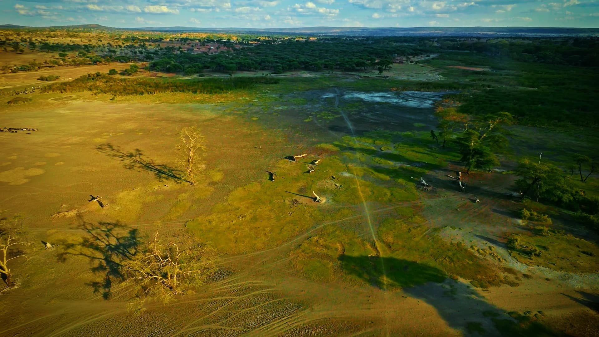
Mapping provides the needed situational awareness to combat poaching in a conflict-torn region of Africa.
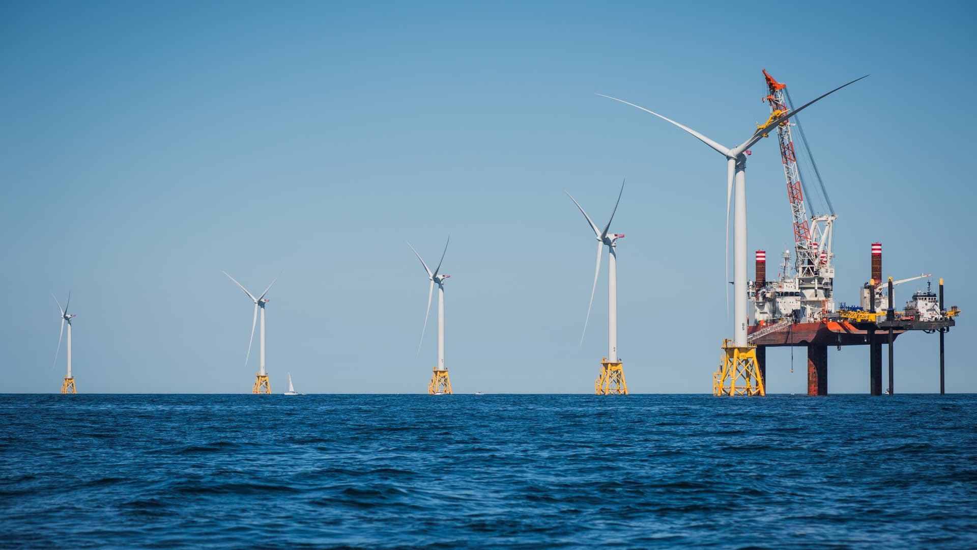
Innovative shared ocean data and mapping efforts are resulting in better economic and environmental decisions for sustaining the blue economy.

The innovative GeoHive platform empowers Ordnance Survey Ireland to provide direction for evidence-based policy making in Ireland.