displaying 219 results
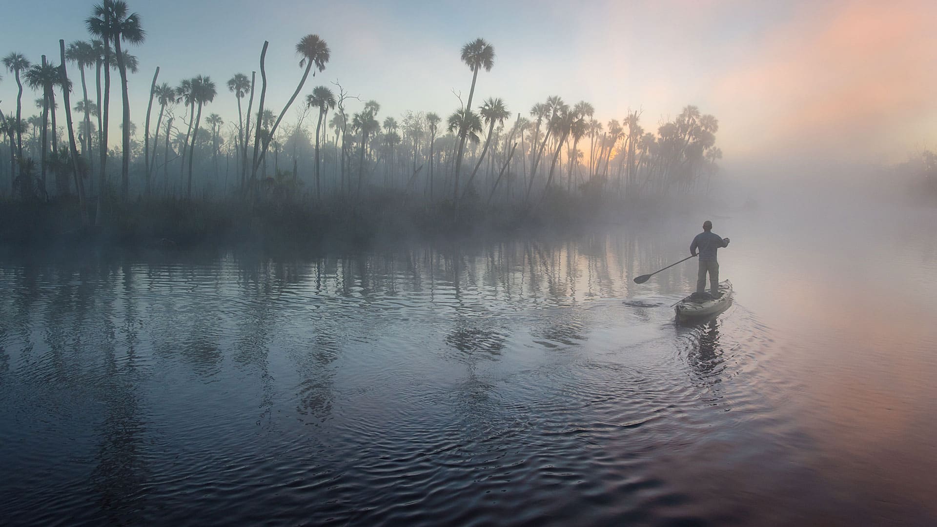
Conservation photographer Carlton Ward Jr., says geodesign and storytelling will play a critical role in conserving land for Florida wildlife.

Esri is contributing to scientific projects that are part of the UN Ocean Decade.

Saybrook announces an alliance, users can virtually attend the Esri Developer Summit, and ArcGIS Velocity is a new cloud-native capability.
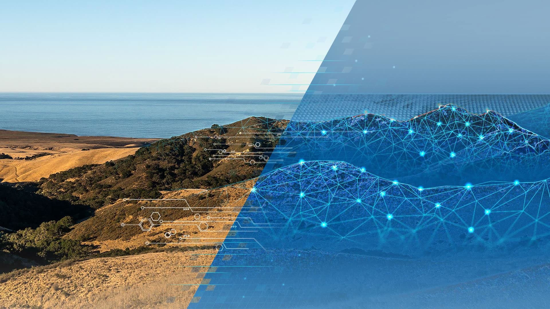
Speakers at the upcoming Geodesign Summit will tackle questions such as how geodesign can solve the 21st century's most pressing problems.
Tools in the new USGS Historical Topographic Map Explorer let you compare maps from different time periods and see changes.

Find out how to use ArcGIS to improve workflows and tackle common business issues.
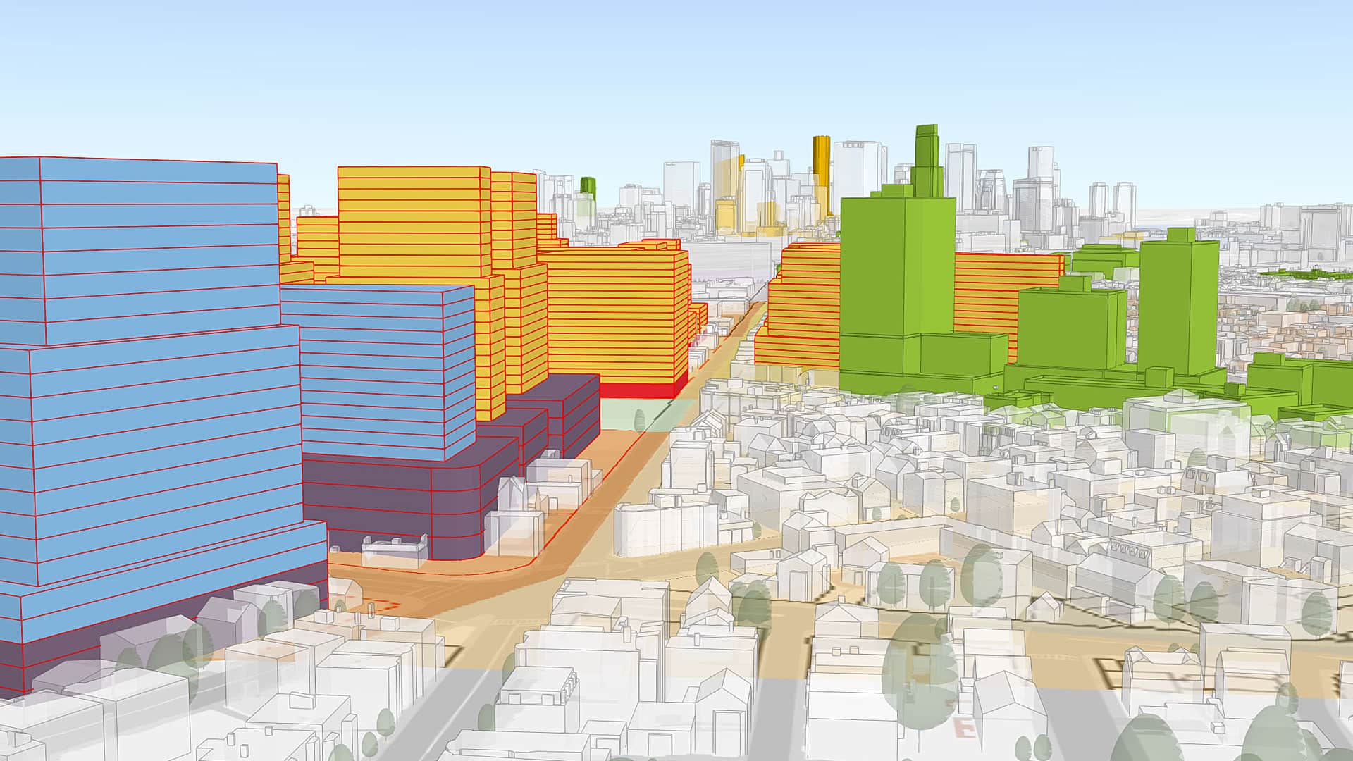
The 2020 Geodesign Summit, which will be held February 24-27, in Redlands, California, will showcase interesting geodesign projects.
Technology and People Need to Work in Sync to Create Resilient Communities