displaying 4366 results
ArcGIS Online and ArcGIS Living Atlas of the World provide cloud-based tools and content that make it easy to analyze spatial demographic data.
More than 5.7 million bats dead: that's the toll from white-nose syndrome, a fungus that's rapidly killing bats in the United States and Canada.

As part of the February 2015 update to ArcGIS Online, Esri introduced an exciting new capability: Smart Mapping.
Increasingly powerful and insightful maps drive improvements in awareness, collaboration, and understanding.

The new app gives users the ability to collect data, view maps, and track locations all within a single mobile experience.
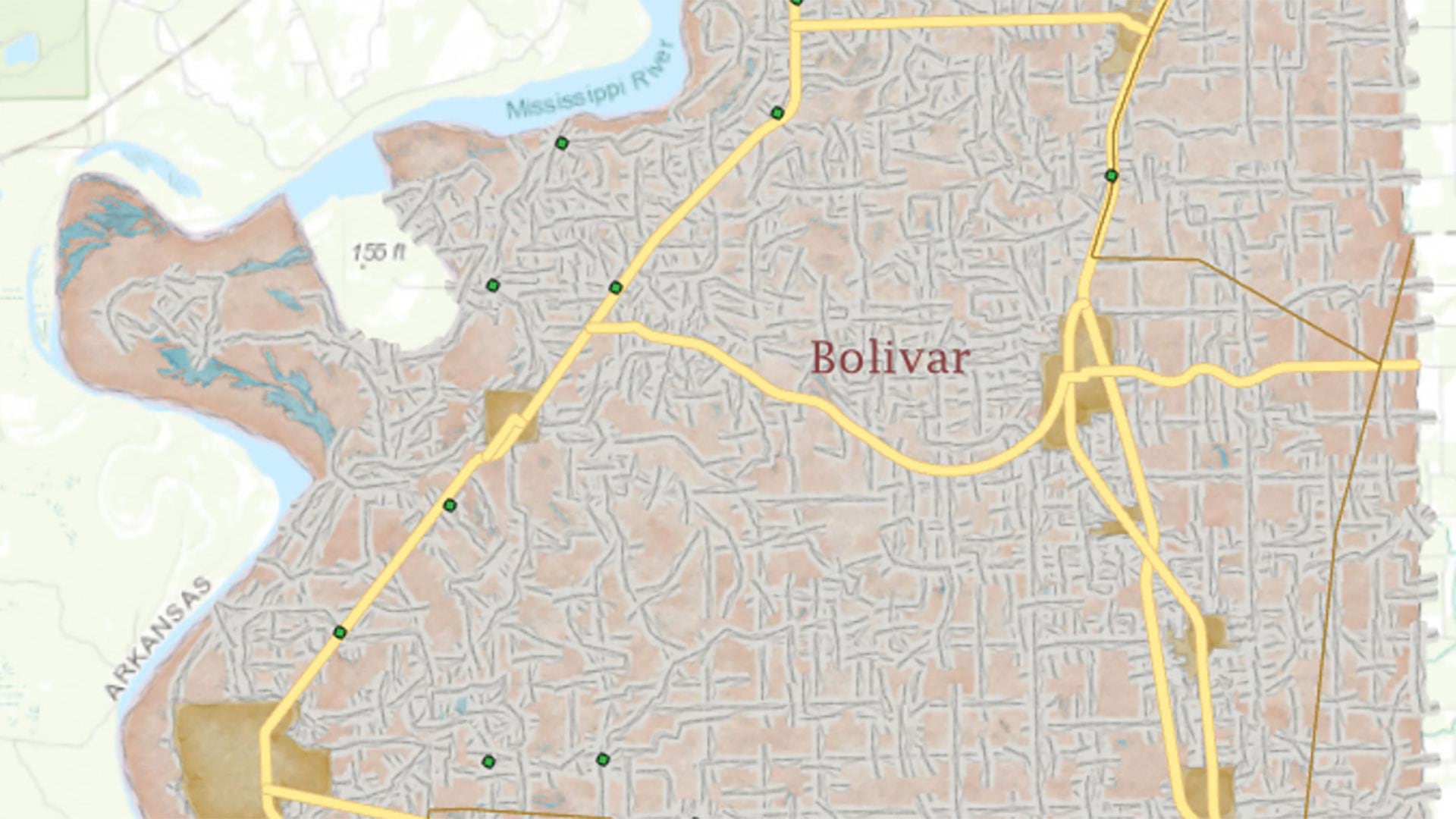
This tutorial walks you through the process of generating a precision reference map using data from a statewide portal.
Maps that will be used to help fight disease, lift people out of poverty, and provide humanitarian aid after natural disasters...
Online maps and mapping tools available through an educational portal are helping Irish students develop their geospatial thinking skills to…

Through his research and collaboration with students and colleagues, Dr. Josef Strobl continually shapes the future of digital mapmaking.
The preauthored maps in the new Esri Maps for Public Policy app foster collaboration and drive fact-based decision-making.
Eighth grader Mahika Srivastava combined her interest in history and geography when she created History of India...