displaying 1363 results
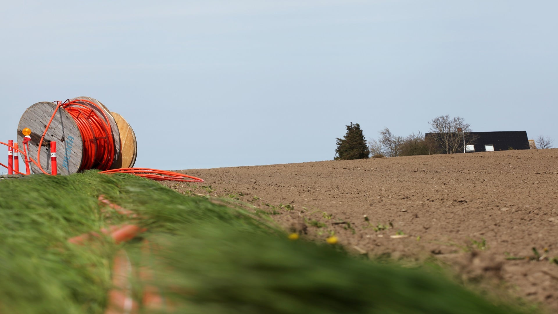
In the age of remote work, the state of Ohio is turning to GIS to address inequalities in reliable broadband access.

Smart communities aren’t always the most technologically advanced. Often, they meet people’s needs by better leveraging existing technology.

ArcGIS Indoors is available in three options, making it easier for organizations to extend their existing ArcGIS systems for indoor needs.

Learn about captivating ways to display data, better systems for sharing GIS resources, the fundamentals of spatial analysis, and much more.
Esri’s new courses cover ArcGIS Insights, spatial analysis, and imagery, and updated ArcGIS Pro certifications validate two skill levels.

To help high schoolers tackle problems ranging from food insecurity to the digital divide, one instructor champions the geographic approach.

To locate potential bat habitats in abandoned mines, Bat Conservation International employed a new high-accuracy GIS-based workflow.

The Past Pandemic World, by Thomas Fisher, examines how previous pandemics have changed cities and how COVID-19 is altering various spaces.

Key West, Florida, contributed its address point data to the ArcGIS World Geocoding Service, making the information more accurate for everyone.

Learning GIS is an important skill set, but the goal is to understand an issue or problem in a deeper, more holistic way and then taking action.

The natural world is under siege. Join some of the geospatial causes aimed at reducing biodiversity loss and protecting the planet.
Esri Training offers new instructor-led courses that cover dashboards and data, MOOCs on spatial data science and apps, and more.