displaying 103 results
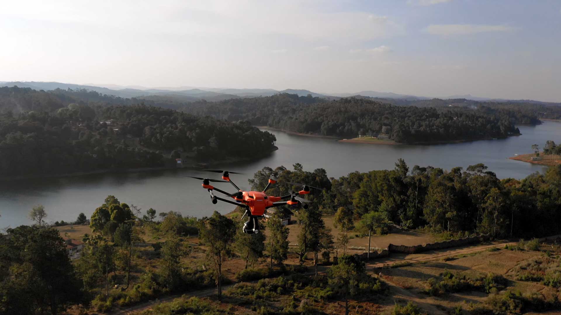
United Nations (UN) World Food Programme (WFP) uses drones and AI to speed aid to flood victims.

CDC chooses Esri to promote vaccine confidence; biodiversity champion Edward O. Wilson passes; SAS-ArcGIS Bridge runs in SAS;

A South Korean city is using a digital twin to become a truly smart city by using its geospatial infrastructure.

GIS is essential to the creation of digital twins.

Geospatial infrastructure empowers everyone to be an intrapreneur.

ArcGIS Runtime SDKs 100.7 expands capabilities for utilities, defense, and public safety.

Save yourself unnecessary effort and get proven results with ArcGIS Solutions.
Government officials must use geodesign approaches to make their cities resilient and sustainable.