Five years ago, the airport in Geneva, Switzerland, faced an important crossroads: how to expand its operations to keep up with international travel. It had two major problems—tight space and a tight budget.
It also had—and still does have—just one runway. As a result, the airport struggled to keep up with growth. In 2006, it served 10 million passengers; by 2016, the number had jumped to 16.5 million—an increase of 65 percent. Passenger numbers are forecast to keep climbing. In 2030, the airport expects to serve 25 million.
The problems also had a special urgency and a set of complicating factors with which many major airports do not have to grapple. Geneva is a center for tourism as well as international finance and home to many humanitarian aid groups, including the International Committee of the Red Cross and the European offices of the United Nations. The city is a gathering point for nations—a place where heads of state, diplomats, and dignitaries rush in and out and their planes often require priority scheduling and security that can disrupt normal airport flows.
Yet this international crossroads continues to operate with one runway and little room for expansion.
“We’re a small airport with a huge amount of operations,” says Thomas Romig, head of the Airport Operations Center.
As the air traffic increased, conventional options for redress shrank. Due to the lack of space, the airport could not build a second runway. It could construct a new terminal for $300 million or more. Or it could find new efficiencies in the current setup that was already handling one aircraft every 90 seconds between 6:00 a.m. and midnight.
GIS Aids Teamwork, Efficiency, and Expansion
Romig could see only one option for handling more and more flights at the airport: increase efficiency.
And the best way to improve efficiency was to create something like a centralized command post or nerve center.
“The first practice that we worked on was to . . . create a single operations room in which we have 30 workstations, which allow the various stakeholders across the airport to sit together,” Romig says.
The group includes ground handlers and the airport operations team, comprising airside operations, landside operations, security personnel, border control, and deicing operators. That retinue could soon expand to include airlines and the airport’s navigation service provider.
Due to the lack of space, the airport could not build a second runway. It could construct a new terminal for $300 million or more. Or it could find new efficiencies in the current setup.
Those team members could not work together to find new efficiencies without a common understanding of the data generated by the movements of planes, passengers, and baggage. Thus, to create better processes for moving crowds to quicker access points and directing planes to different gates, Romig knew he needed to provide data that could be readily understood by decision-makers, especially those without backgrounds in information technology.
Those were the people who needed to understand quickly when and where passengers were waiting too long in check-in or security lines, and even more to the point, where those backups were likely to occur so they could be prevented. Other team members needed to understand where there might be a security breach or where a smoke alarm was activated, and how to respond.
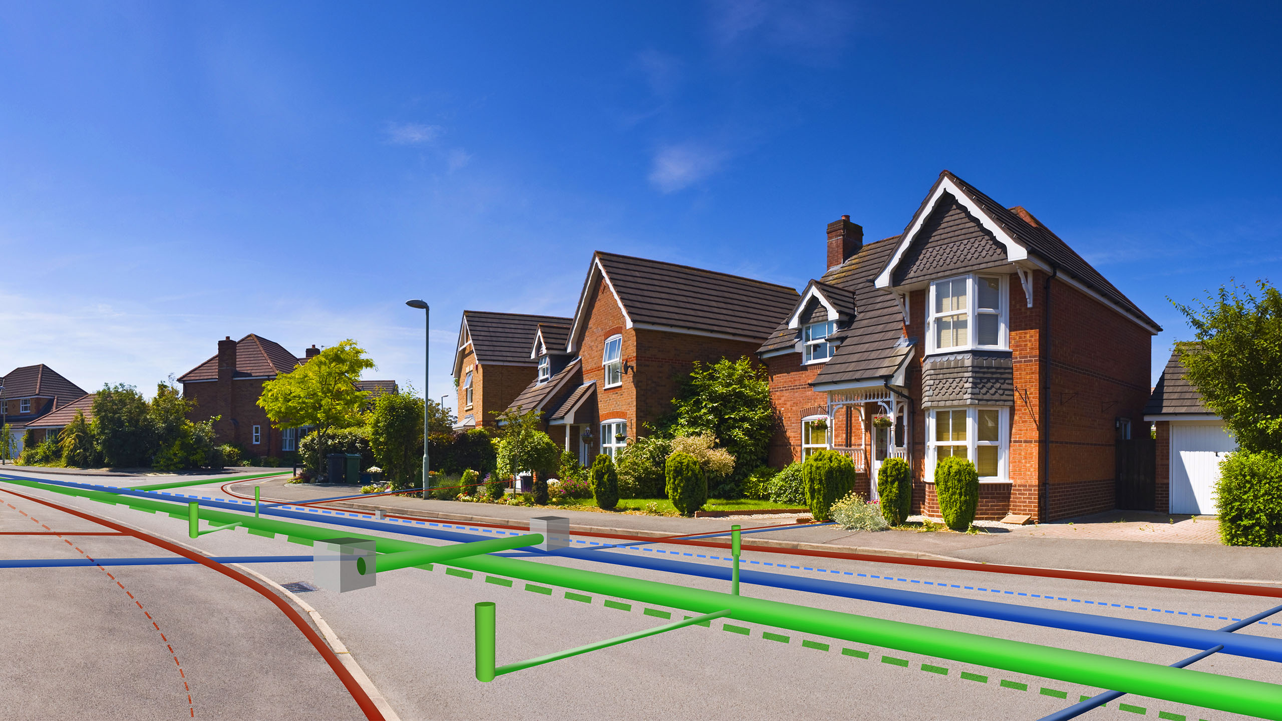
Romig found support for the concept from Alexandre Pillonel, geographic information system (GIS) application manager in charge of the spatial data infrastructure in the airport’s IT division. GIS technology excels at tracking the location of assets, from planes at an airport to delivery trucks on the road to assets across an electric grid.
Pillonel immediately understood the need. “The GIS has existed for about 20 years in the airport,” he says. “But the data was only used by the creator of the data. So in the last three years, I tried to give the access of geographical data to other people to analyze.”
Pillonel and his team built a GIS-based, real-time dashboard of airport operations from the point of view of the end-users rather than the IT staff. Now the team in the operations room receives “a visualization of the daily operations through a map . . . on which we display all of the different locations of the airplanes.” Pillonel explains. “We’re integrating radar data into that so that we can [see] the movement of vehicles and aircraft on the same visual.” That means improved safety and more efficient management of all traffic in the area.
Helping Airport Staff React
If a delayed flight keeps a plane parked at a gate that an incoming flight is scheduled to use, the dashboard registers an alarm. Immediately, all team members know about the conflict and can respond.

The incoming flight is redirected and, if needed, airport and airline personnel are dispatched to the newly assigned gate either by the authorized team members in the central situation room or via immediate communication with appropriate managers.
With more than 500 datasets being collected and analyzed, the dashboard receives information that includes security warnings, passenger flow, aircraft location, baggage movement, border and immigration controls, and the loading and unloading of the airplanes.
That gives the dashboard watchers “a common situational awareness of what’s going on daily and pretty much in real time,” Romig says.
Pillonel says he hopes to add other data feeds from the airport to enhance the team’s situational awareness and wants to spread the word about GIS to bring more airport stakeholders on board. This holistic visibility didn’t exist before the introduction of the GIS dashboard, and it has improved the speed with which airport personnel can adjust operations to accelerate the airport flow.
The picture extends beyond the airport property, too. Knowing conditions on the roadways and railways leading to the airport provides a sense of how passenger traffic will ebb and flow in the airport. As passengers enter the terminal and make their way to check-in areas and security lines, the internal system senses the locations of cell phones in operation. The system anonymizes that data as it tracks the locations and movements of groups of people.

Now the team in the operations room receives "a visualization of the daily operations through a map . . . on which we display all of the different locations of the airplanes."
If the dashboard reveals or predicts longer wait times at security, then managers can shift passengers to different gates to distribute the flow more evenly or bring on more staff at security lines. If the dashboard shows special priority flights on their way to the airport or scheduled to take off, managers may shuffle schedules and boarding locations.
The GIS can also track locations of planes on the ground and show managers if an aircraft is at a deicing station or a gate or being loaded or unloaded. That kind of location awareness is crucial in a busy airport with only one runway.
Romig suggests that a next step may be to install an automated response feature. For instance, if there is a security breach on premises, then certain predetermined personnel would be deployed. If sensors warn of backups at check-in locations, other staff would receive automated messages to open new lines.
Return on Investment
After spending $2.2 million on the central operations project, the airport’s chief financial officer asked Romig an important question: “How can you prove that that money is going to bring us a return on investment?”
Romig says all those participating in the dashboard operations believe that the centralized, user-friendly GIS data had created a more efficient and responsive team. However, they are still collecting data on key performance indicators.
“I can’t tell you that 1 Swiss franc that we’re spending is going to bring us back 1.6 Swiss francs in the future,” Romig recalls explaining to the CFO. “But what I can do is prove to you that we’re more efficient, we’re responding quicker, and that we’re basically optimizing our resources through the fact that we have all these different entities . . . sitting together in a single location.”
The team is working on a system of key performance indicators to track metrics such as the percentage of flights leaving on time or within 15 minutes of their intended departure.

I can imagine, in a big port or in some other manufacturing areas, where you've got parts all over a big surface—a big area—that [GIS] could certainly be useful.
In the meantime, the improved dashboard and GIS setup have eliminated some significant costs, Romig says. “By spending the $2 million that we’re spending now, we don’t need to spend, for example, $60 million to build more taxiways or $300 million . . . to build another terminal.”
The new system has facilitated the airport’s increased growth. In 2015, the number of passengers rose to 15.8 million, a 4 percent increase over 2014. In 2016, the total number of passengers grew to 16.5 million, an increase of another 4 percent. Thanks in part to the location intelligence provided by GIS, the airport currently handles 6 million more passengers a year than anticipated by the airport’s original design.
Romig notes that with 25 million passengers expected in 2030, the airport eventually will need to invest in major infrastructure upgrades to cater to the future demand. However, he expects GIS to play an increasing role in helping to manage current and future growth efficiently. Indeed, other airports have been inquiring about how to better utilize their own GIS.
Spreading the Word
Romig recently gave airport officials from Paris an overview of Geneva’s GIS deployment. Airports, he says, tend to share ideas and best practices openly because they rarely find themselves in competition with each other.
He believes that the Geneva approach can be applied in other industries as well. “I can imagine, in a big port or in some other manufacturing areas, where you’ve got parts all over a big surface—a big area—that [GIS] could certainly be useful.”
Regardless of where the GIS technology is applied, Romig says it works best when its users embrace collaboration. Sharing knowledge and data gives users deeper insights into trends and how to prevent problems before they affect passengers and flight schedules.
“Basically, whenever you’ve got a number of different stakeholders who need to work in a synchronized sequence of events, or even if it’s just a single stakeholder who needs to work in a synchronized chain of events . . . I think that’s where these types of tools could be used.”
The Esri Brief
Trending insights from WhereNext and other leading publicationsTrending articles

December 5, 2024 |

January 6, 2026 |

March 31, 2026 | Multiple Authors |

March 3, 2026 |

July 25, 2023 |

February 17, 2026 |