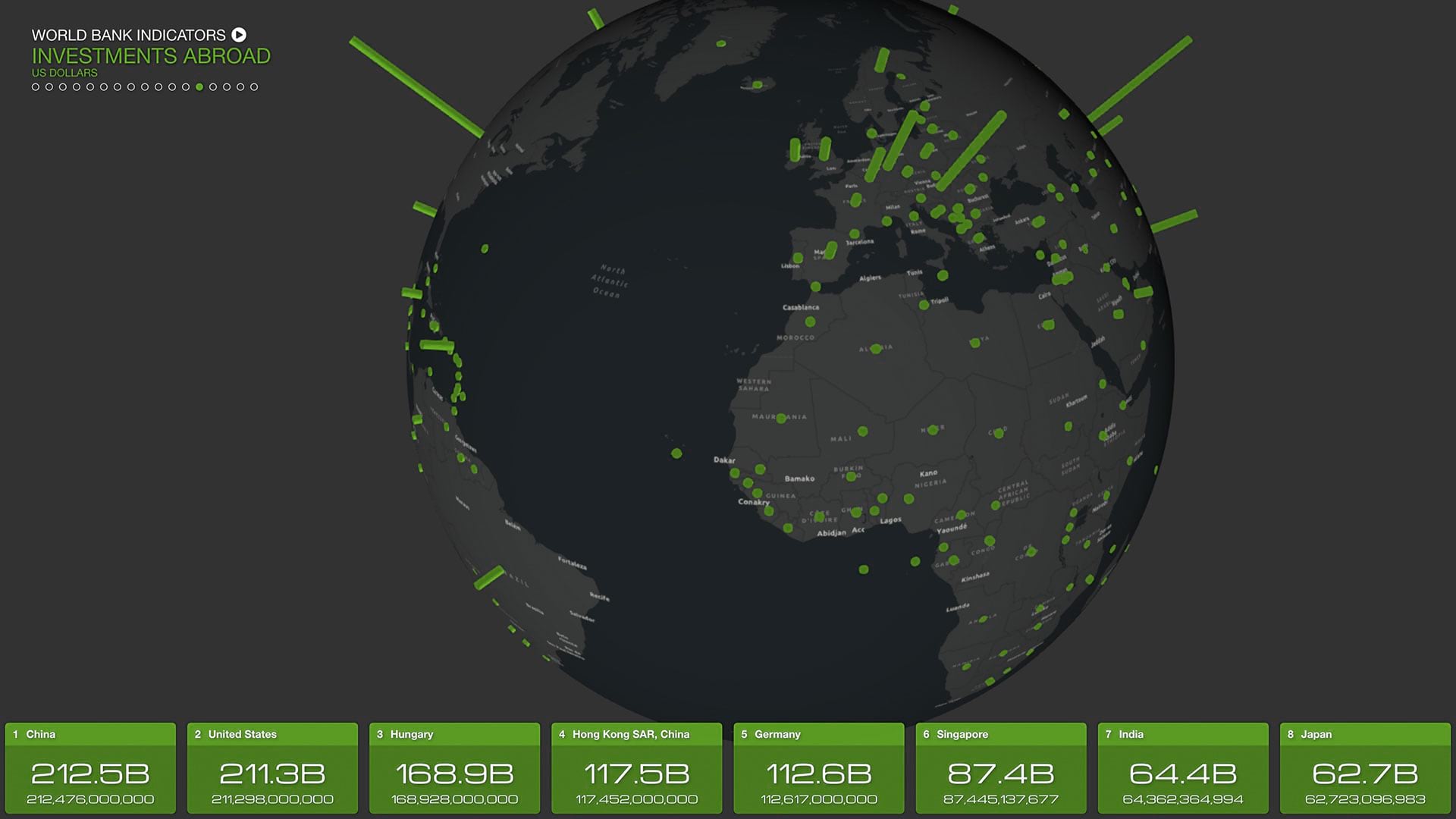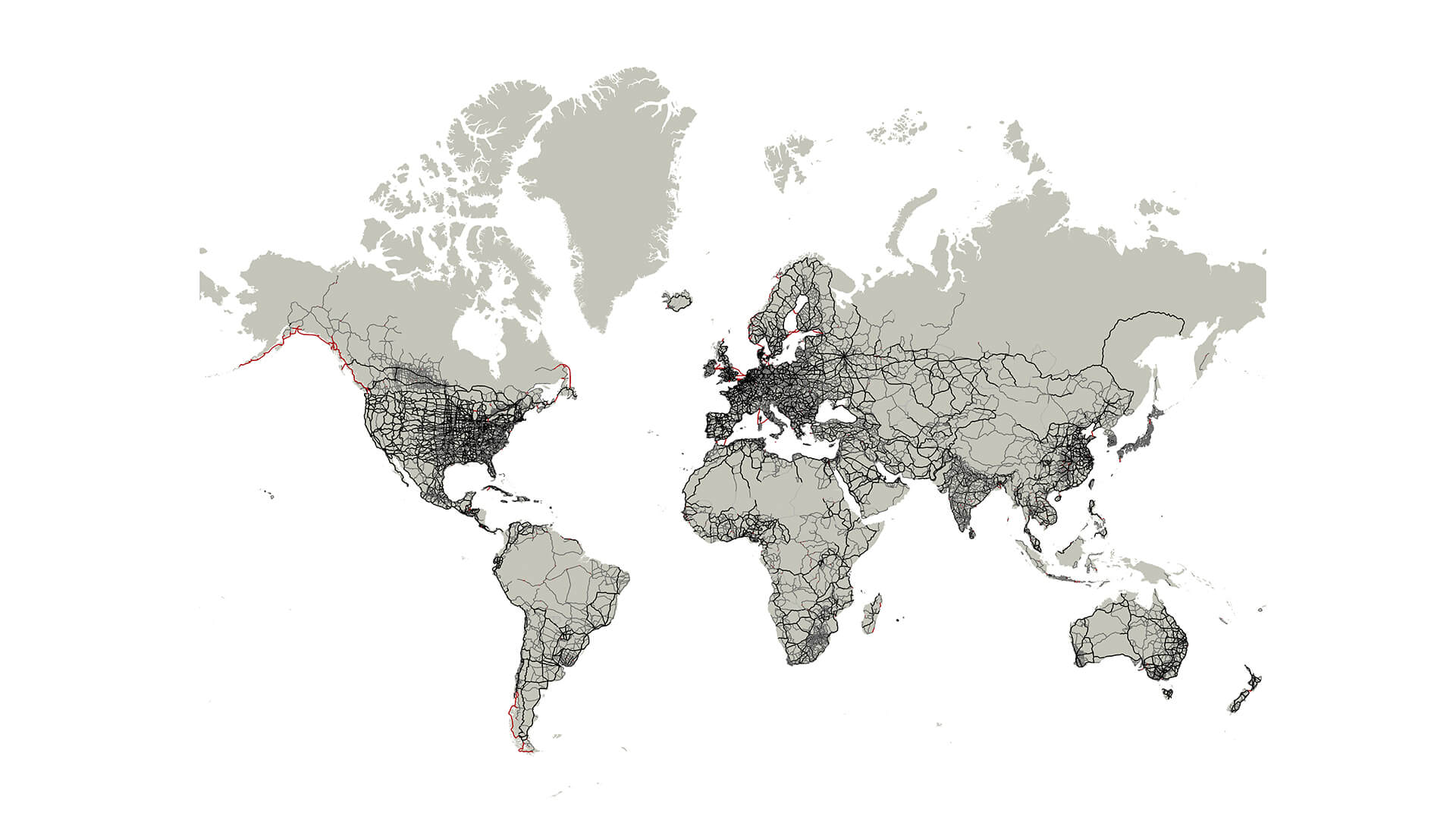
When an astronomer wants to see a planet in detail, a higher magnification lens pulls craters and flares into focus. When a doctor needs to examine a symptom’s root cause, an MRI scan penetrates where human eyes can’t.
For business leaders searching for a clear view of their organization—its performance, risks, and opportunities—geographic information system (GIS) technology has become a trusted source of corporate clarity.
From SMBs to the Fortune 500, GIS maps, dashboards, and digital twins reveal what is happening in key business areas, including the C-suite, real estate planning, security, and operations. With the location intelligence GIS delivers, these businesses are setting strategy, building sustainable growth, and operating efficiently and safely.
How Clarity in the C-Suite Enables Smarter Business Planning
Executives are willing to go to great lengths to discover the true state of the businesses they run—some even resort to an appearance on Undercover Boss.
The COO of one East Coast gas utility found an easier way to connect the boardroom to the field: location software. When a freak storm battered the company’s service area, a digital twin powered by GIS became a window into recovery, providing real-time updates as the organization restored service.
The COO didn’t have to wait for a briefing or an executive summary; he checked an operational basemap, a live view of crews and assets, to see how, where, and when operations teams were making repairs.
“It’s awesome to be able to utilize these types of investments to better ourselves and our efficiencies,” he told WhereNext.
An innovative street-cleaning company leveraged the corporate clarity provided by GIS to gain a significant competitive advantage. Executives used telematics data from trucks to show customers where cleaning services had been performed—a form of service verification that competitors couldn’t match.
The team also used GIS demographic and routing analysis to evaluate promising markets and possible acquisitions. Built-in AI lets executives ask questions and unlock insights using natural language commands.
“Taking this technology and modernizing our approach is opening up new markets for us and creating a new identity that no one can match,” says the company’s CIO.
Corporate Clarity on Major Capital Investments
For a growing company, selecting the site of a new store or office is a multimillion-dollar decision requiring coordination among real estate professionals, finance analysts, data scientists, and executives.
At one global retailer, GIS technology became a key part of that process, blending market insight, company sales data, and predictions for how demographics would change in markets across the country.
But first, the GIS lead had to gain the trust of the company’s real estate veterans, who had years of experience in site selection and market analysis. When she pulled up a map, every detail had to be correct. If the map missed a new housing development, they would doubt the other data, too.
As colleagues increasingly turned to her data-rich maps to make decisions about where to grow the business, the working relationship deepened.
“They needed me for the majority of the information that they couldn’t see on the ground, like the percentage of residents that are not year-round or what the hotel occupancy rate is,” she says. “Over time, we realized that in order to get clarity, we were going to have to work together.”
By combining the team’s on-the-ground knowledge with reliable market data, they could validate their perceptions, add context, and build a clearer picture of each location. The partnership became the backbone of a multimillion-dollar site selection process, providing clarity for business growth.
Now, AI is boosting these capabilities in real estate departments worldwide, predicting sales in prospective locations and providing insight on where a business should expand next.
Security Heads Turn to GIS for Clear Answers
At one financial firm, opacity wasn’t a risk the security team could afford.
They turned to GIS maps to clarify risks to the bank’s facilities and its technology infrastructure, generating round-the-clock situational awareness. One analytics leader credits the technology with “answering expensive questions.”
Now, when a bank employee reports a fire or theft, the incident is logged in GIS, making it accessible to investigators and security leaders in near real time.
With location intelligence, leaders in the global security operations center anticipate how offices and retail branches might be impacted by extreme weather, civil unrest, or geopolitical risk. Members of the security team refer to it as awareness through a single pane of glass.
They’re part of a trend in GSOCs everywhere, where AI-enabled location software is making it easier to gain corporate clarity and minimize risks to employees and assets.
Operations Management—Accelerating the Right Decisions
Decisions about operations—from equipment maintenance to capital investments—require precise knowledge of the location, status, and interconnectedness of assets.
At a US theme park, a GIS-based digital twin delivers this clarity, acting as the facility’s operational basemap. It captures the hidden electrical lines, water pipes, and communication cables that give the park’s rides and shows their power to thrill. Managers and executives use it to monitor maintenance work and plan budgets.
When 18 inches of floodwater covered one area of the park, operations staff used a GIS map on mobile devices to find a shutoff valve, saving hours of searching and costly downtime.
The map also keeps crews from duplicating work and reduces costs. If the electrical group is planning to dig in a certain section of the park two months from now, the plumbing group can adjust its schedule for replacing water pipes so it coincides with the electrical work. Enhanced with AI, location software can go even further, automating analyses and answering questions via chatbots.
“Being able to see a true digital twin of how their property and area is, and being able to slice it to what they want to see at a given time, I think that really helped with clarity,” says the operations manager who helped establish the GIS-based view of the park.
For business leaders across sectors, it’s not enough to see one utility line, one would-be store site, or one security incident with perfect vision. They need to see the whole picture—the context, patterns, and relationships that govern outcomes.
Corporate clarity, in short, is a systems challenge. In key areas of the business, GIS technology turns complex systems into intuitive visuals, allowing organizations to plan, decide, and act with confidence.
The Esri Brief
Trending insights from WhereNext and other leading publicationsTrending articles
December 5, 2024 |
January 4, 2018 |

January 11, 2024 |

July 27, 2021 | Multiple Authors |
May 26, 2026 |

October 6, 2026 |