displaying 17 results

Michigan State University used ArcGIS technology to streamline its litter management system on its sprawling 2,000-acre campus in East Lansing.

Learn how to set up your ArcGIS Online home page galleries and groups for the public and organization members.

Celebrating GIS Day virtually may bring in more participants than ever before to your event. Find out how to make it interactive and interesting.
The City of Escondido, California, used ArcGIS Hub to recruit volunteers to prepare a trail for a 50-kilometer run in Daley Ranch.
Generate ideas on how to solve climate change, equity, and poverty: Enter the ArcGIS StoryMaps Competition for Sustainable Development Goals.
Check the new CovidPulse map from Esri to see the trend lines for reported cases of and deaths from COVID-19 in the United States.
A map created using ArcGIS Pro, Cinema 4D, and other technologies shows an animation of the ten largest wildfires recorded over the last century.
Do you have to convert maps made in Map Viewer classic to Map Viewer beta? Learn the answer and get your other Map Viewer queries answered.
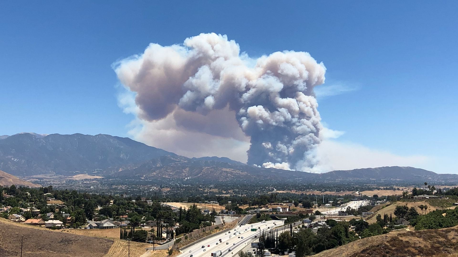
Learn how to map a map of a fire in about a minute, locate the hot spots, and find out how many people live in the affected area.
You can now use geotagged photos to locate tour places in ArcGIS StoryMaps guided tours. That's just one of the new enhancements available.
The latest version ArcGIS Workforce supports projects offline, comes with a new user experience, and offers streamlined organization of content.
Betsy Mason, co-author of All Over the Map: A Cartographic Odyssey, talks about how data visualization changed the course of history.