July 14, 2026 |
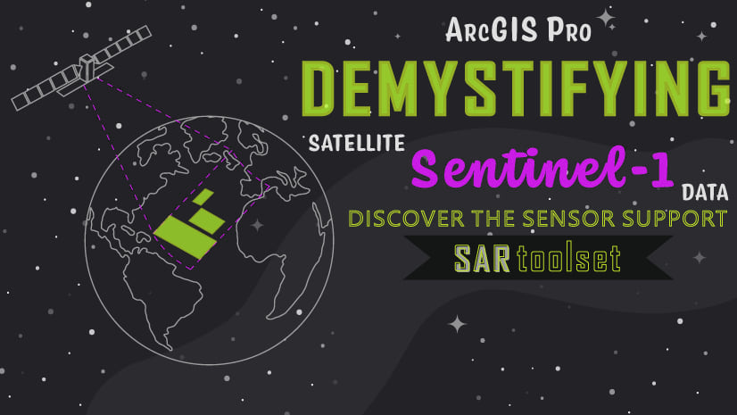
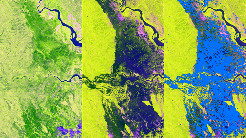
Learn the key design decisions behind an automated flood-monitoring notebook using Sentinel-1 imagery.
Pro tip: start your search with # to search with tags, or @ for authors
July 14, 2026 |
Learn the key design decisions behind an automated flood-monitoring notebook using Sentinel-1 imagery.