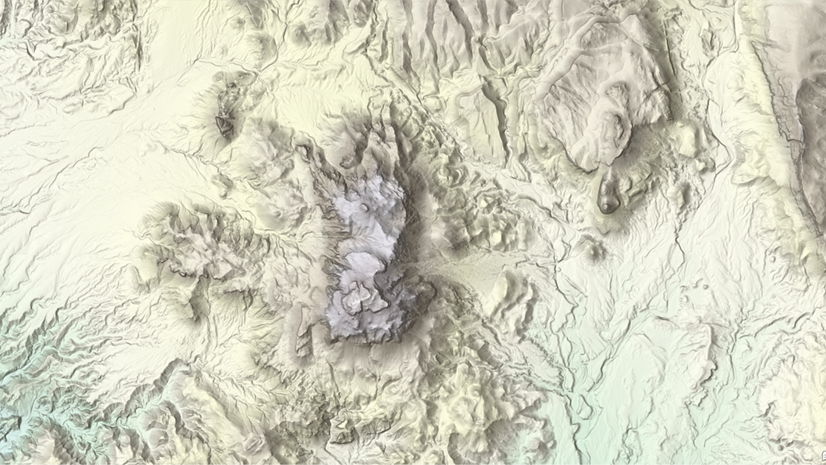
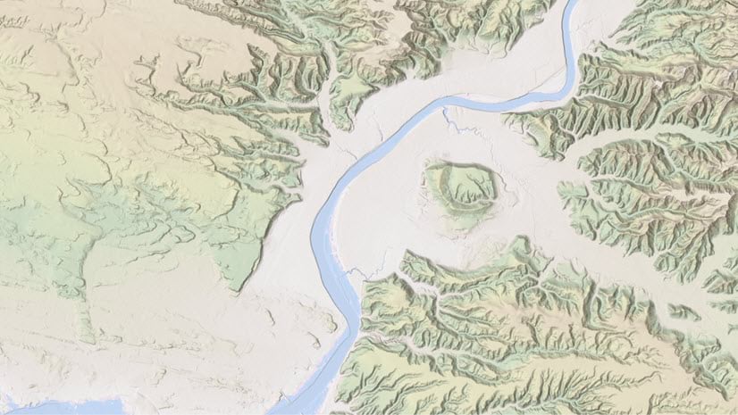
ArcGIS Living Atlas of the World provides foundation elevation layers and tools to support analysis and visualization across the ArcGIS system. These layers get updated quarterly with high resolution elevation data from federal agencies, open sources, and community maps program. Esri is providing these datasets as ready to use services that benefit the GIS community and extend the use of data in new and innovative ways. In this release, world elevation layers and tools are updated with a few high-resolution elevation datasets.
Terrain and TopoBathy layers are updated with:
- National Land Survey Finland’s (NLS) lidar derived high-resolution DTM’s of 2 and 10 meters covering the entire country of Finland.
- Expanded coverage of USGS 3DEP 1 meter lidar derived DTM’s covering areas of the conterminous United States. In this release, approximately 567,000 square kilometers (~218,919 square miles) of new coverage of USGS 3DEP 1 meter has been added. The graphic below shows the new addition (magenta) along with previously available coverage (green).

Ready-To-Use Elevation Tools:
Ready-To-Use Elevation Tools (Profile, Viewshed and Summarize Elevation) are also updated with latest 10 meter DTM’s of Finland.
These data updates will be rolled out to the world elevation tiled services – Elevation 3D (Terrain3D and TopoBathy3D) and Hillshade (World Hillshade and World Hillshade (Dark) ) by the next quarter.
To see the coverage extents of each source comprising World Elevation services, check out the Elevation coverage map.
You can help in improving these services by contributing high-resolution elevation data to Living Atlas of the World. To participate and learn more, check out the Esri Community Maps for Elevation program.


Article Discussion: