Maxar Technologies has teamed up with Esri to make their NaturalVue® 2.0 image mosaic available through the ArcGIS Living Atlas of the World. This means that both first and second generations of NaturalVue® are now available in the Living Atlas.
NaturalVue® 2.0 is Maxar’s next-generation global image mosaic, encompassing over 60,000 Landsat 8 images. A virtually cloud-free mosaic with more current imagery, NaturalVue® 2.0 updates and improves upon previous versions with enhanced positional accuracy, color fidelity, and spatial resolution.
Providing global coverage at 15-meters per pixel spatial resolution, this imagery enables a broad range of geospatial and web-based mapping applications, including military and defense logistics, GIS backdrops, flight simulation, cartographic mapping, 3D visualization, GPS tracking, and more.
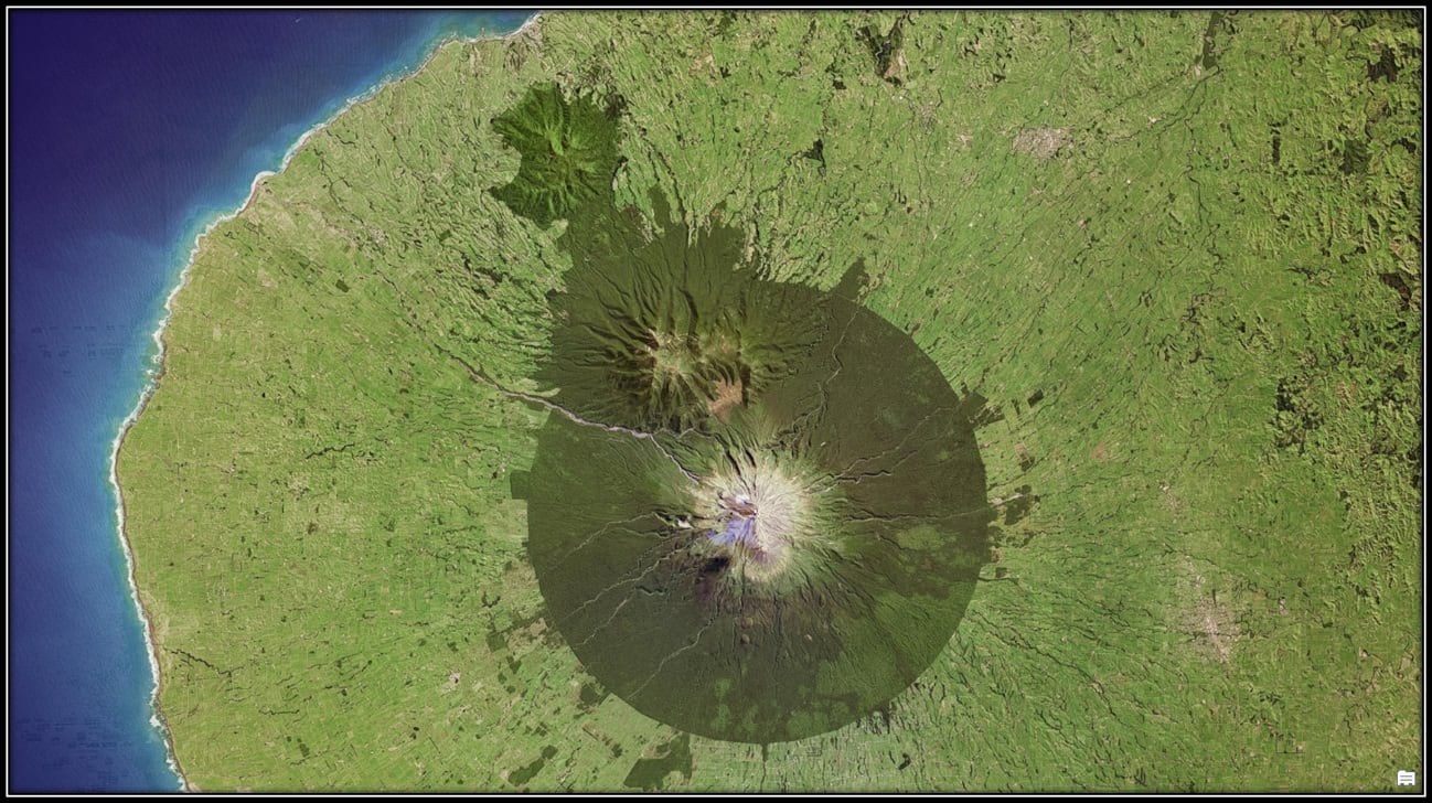
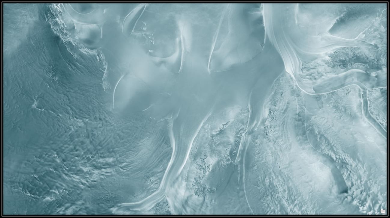
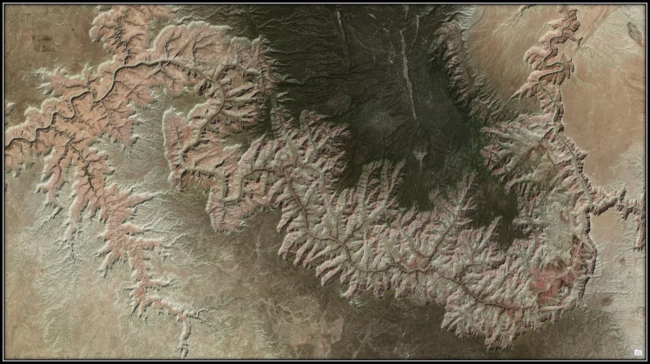
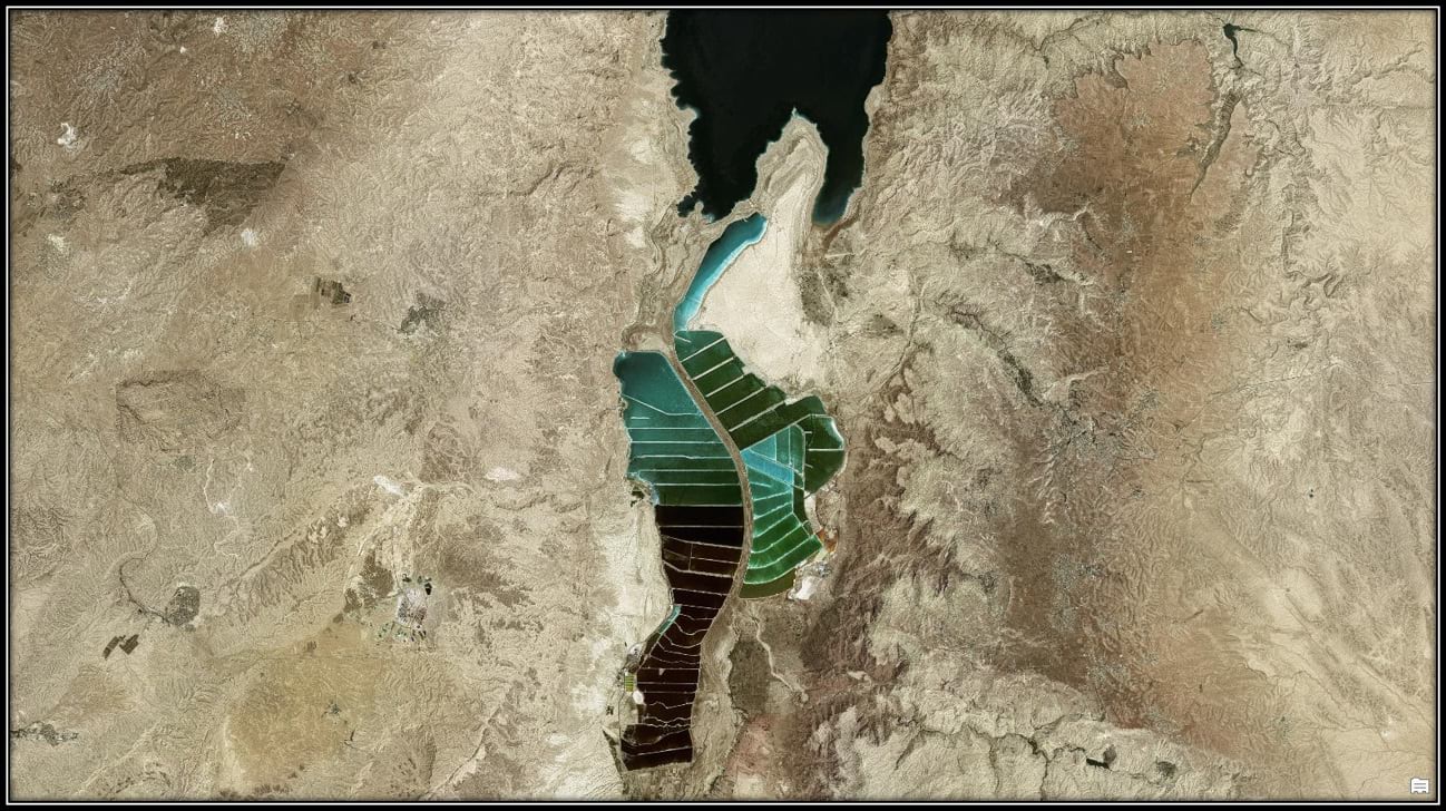
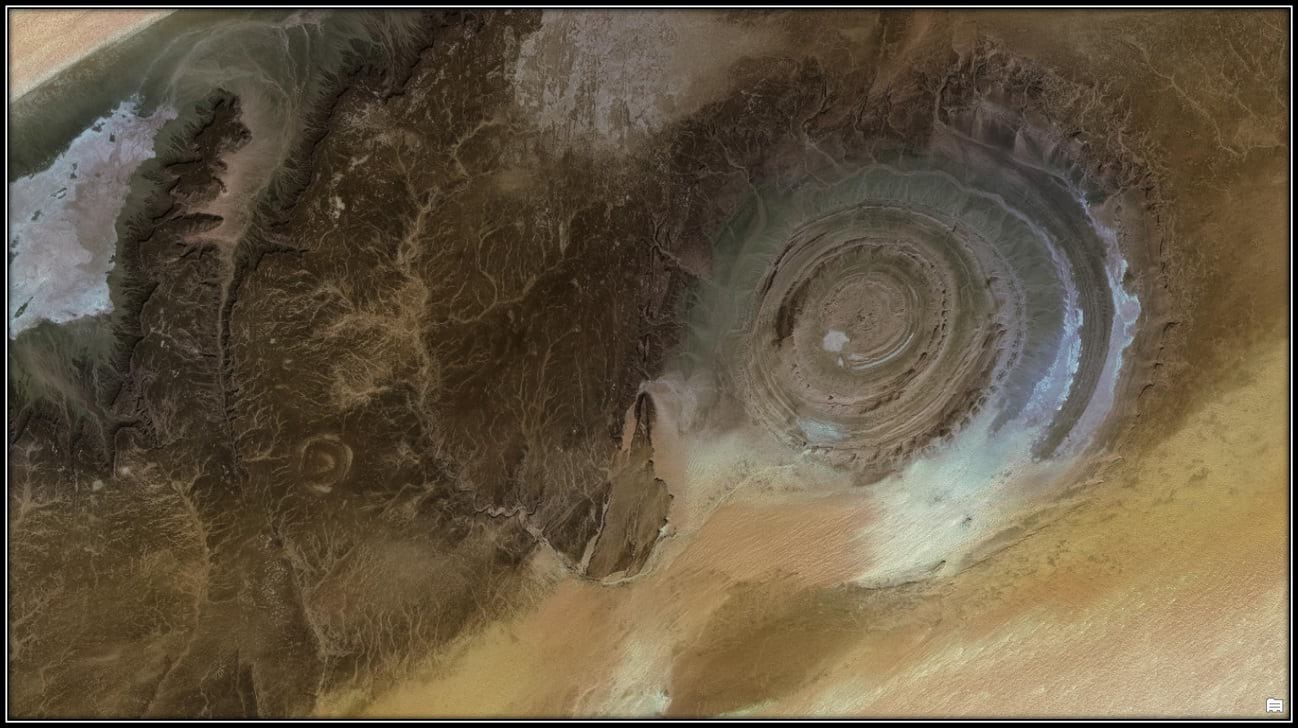
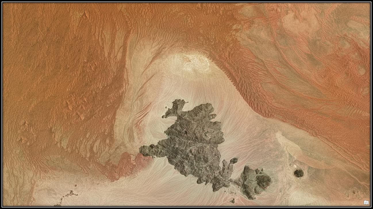
Take this imagery web app for a test drive, exploring the locations shown below and more. If the imagery works for you, all you need to do is keep using it. NaturalVue® 2.0, along with many other imagery layers and maps, is freely available in the Living Atlas.

Commenting is not enabled for this article.