We are happy to announce the availability of two new beta items in ArcGIS Living Atlas of the World, the Landsat Level-2 image service, and a new version of the Landsat Explorer app.
Landsat Level-2 Imagery
Jointly managed by the National Aeronautics and Space Administration (NASA) and the United States Geological Survey (USGS), Landsat is the longest running spaceborne earth imaging and observation program in history. Landsat imagery provides a unique historical record of the Earth, tracking and documenting land use and land change over time to help land managers and policymakers make more informed and sustainable decisions for today and into the future.
The sensors onboard Landsat satellites collect imagery at distinct ranges, or “bands”, along the electromagnetic spectrum. Over the years, the Landsat program has relied on a diversity of scientists to provide insight and make recommendations on the spectral bands that are most useful for answering questions in their respective fields. Accordingly, the Landsat sensors have continued to evolve, introducing some variability among missions. However, the intentional spectral continuity that exists with Landsat missions 4, 5, 7, 8, and 9, makes it possible to scientifically analyze and compare images across those missions, from 1982 to present.
This collection of Landsat Level-2 Science Products is created and made publicly available by the USGS. The public availability of this imagery makes it an invaluable resource for everyone around the world. The availability of this imagery as a single dynamic image service in Living Atlas makes it easier than ever for ArcGIS users to access, explore, and analyze this historical record. The information derived from this imagery helps land managers and policymakers make informed and sustainable decisions.
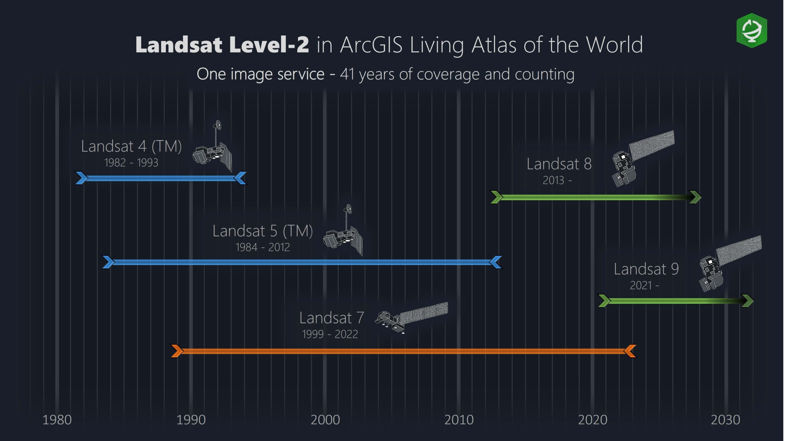
Accessing and Working with Landsat Imagery
The days of having to download, store, and manage large volumes of Landsat imagery are behind us. While there are still valid scenarios where having data on premise is required, many, if not most, use cases should be fulfilled by accessing dynamic image services hosted in the cloud. Our Landsat Level-2 service provides direct, on the fly, access to the Landsat Level-2 imagery hosted on the Microsoft Planetary Computer.
Our Landsat Level-2 image service can be accessed across the ArcGIS system, in ArcGIS Online and ArcGIS Pro, from Map Viewer to Notebooks, for visualization and analysis. Throughout the remainder of 2023, we will be publishing a number of workflows and technical articles to help provide guidance and best practices for a variety of scenarios and workflows. However, today, we are going to focus on the new and improved Landsat Explorer app. The app provides a user friendly experience, progressively disclosing more advanced capabilities as you step through the available modes.
Landsat Explorer app
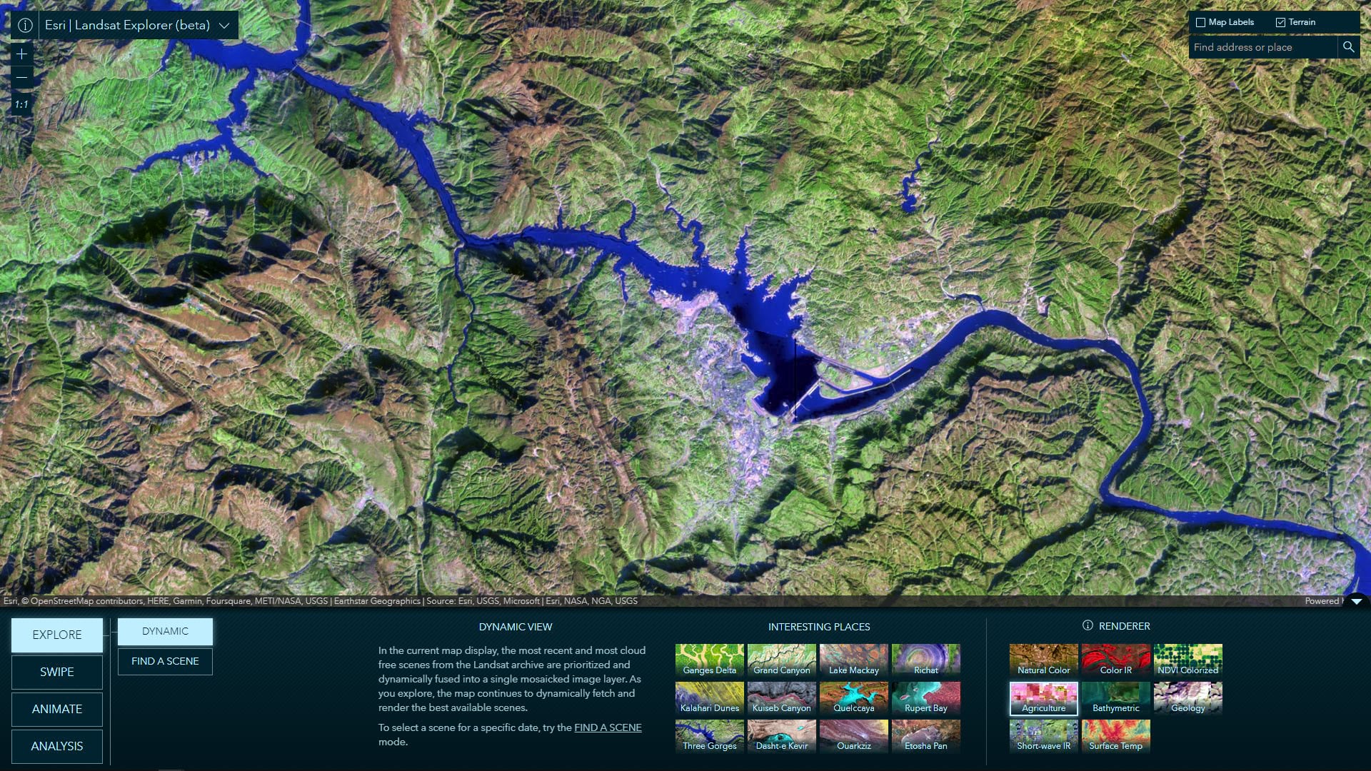
This is the default mode of the app. As of August 31, 2023, there are more that 8.2 million scenes in the Landsat Level-2 database. In Dynamic mode, the most recent and most cloud free scenes from the Landsat archive are prioritized and dynamically fused into a single mosaicked image layer. In this mode, you will also find a gallery of interesting places around the world. You can also explore your own locations of interest and select from a list of renderers.
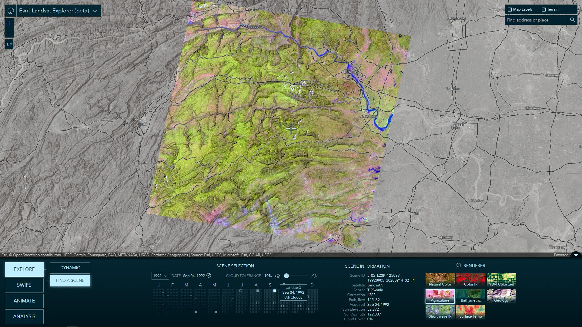
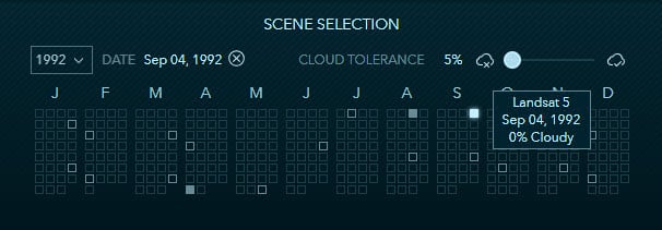
Often times users are looking for scenes at a specific location, from a specific time period, and with specific quality requirements (e.g. minimal or no clouds). The Find a Scene mode allows users to specify a year and see all of the available images for that entire year in a single calendar view. Images meeting the selected cloud cover tolerance are displayed as solid blocks, while available scenes that do not meet the cloud tolerance are shown as outlines. Hovering over available scenes provides a preview of some information about that scene and selecting a scene is as simple as clicking on it. Additional metadata is displayed for a selected scene and, once again, there is a list of renders to choose from.
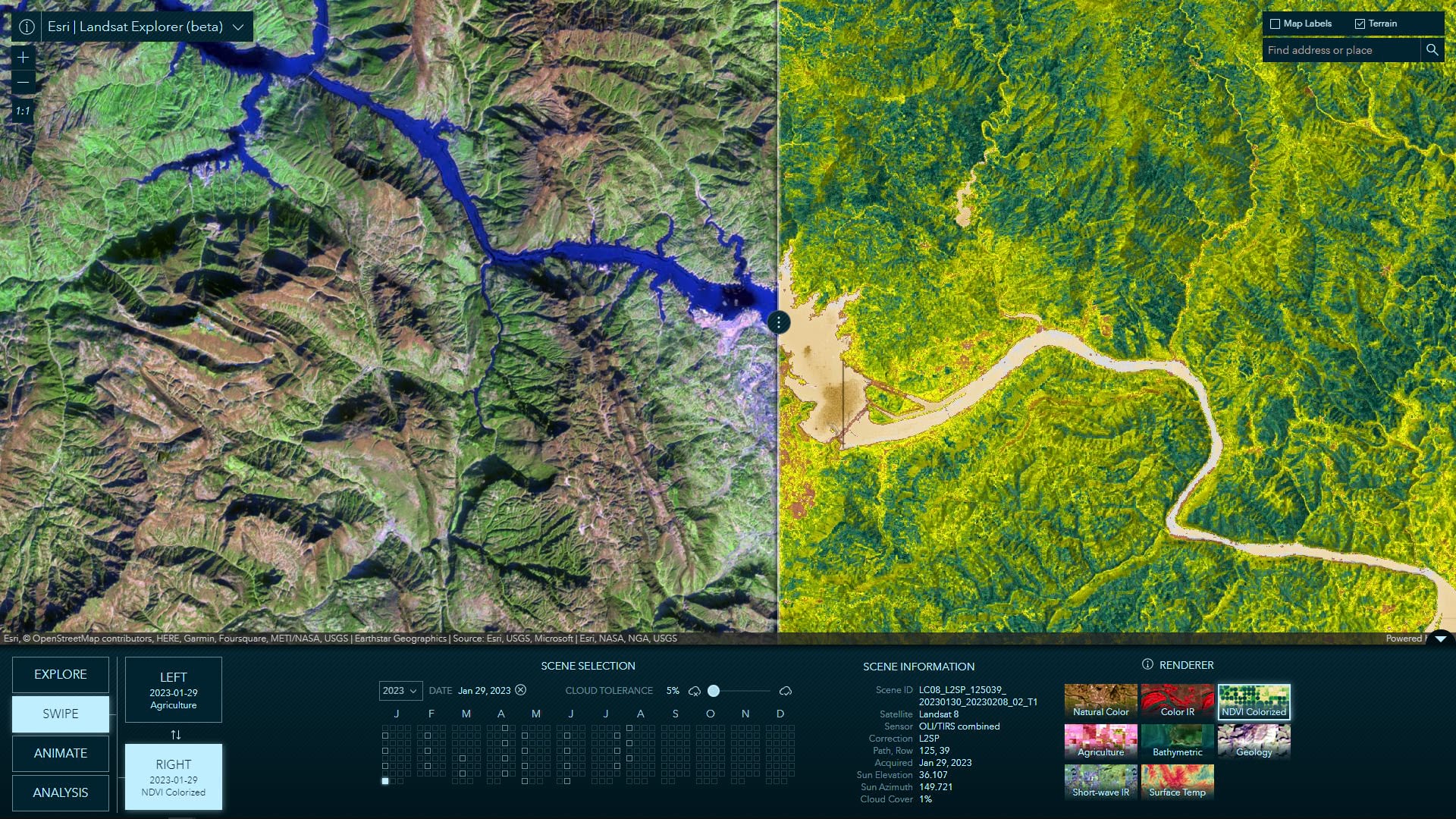
Swiping between them is a simple but yet powerful way to visually compare and analyze the differences between two images. A common scenario is to swipe between two image from different dates. However, this Swipe mode allows you to also easily compare different renderings and/or indices for the same date.
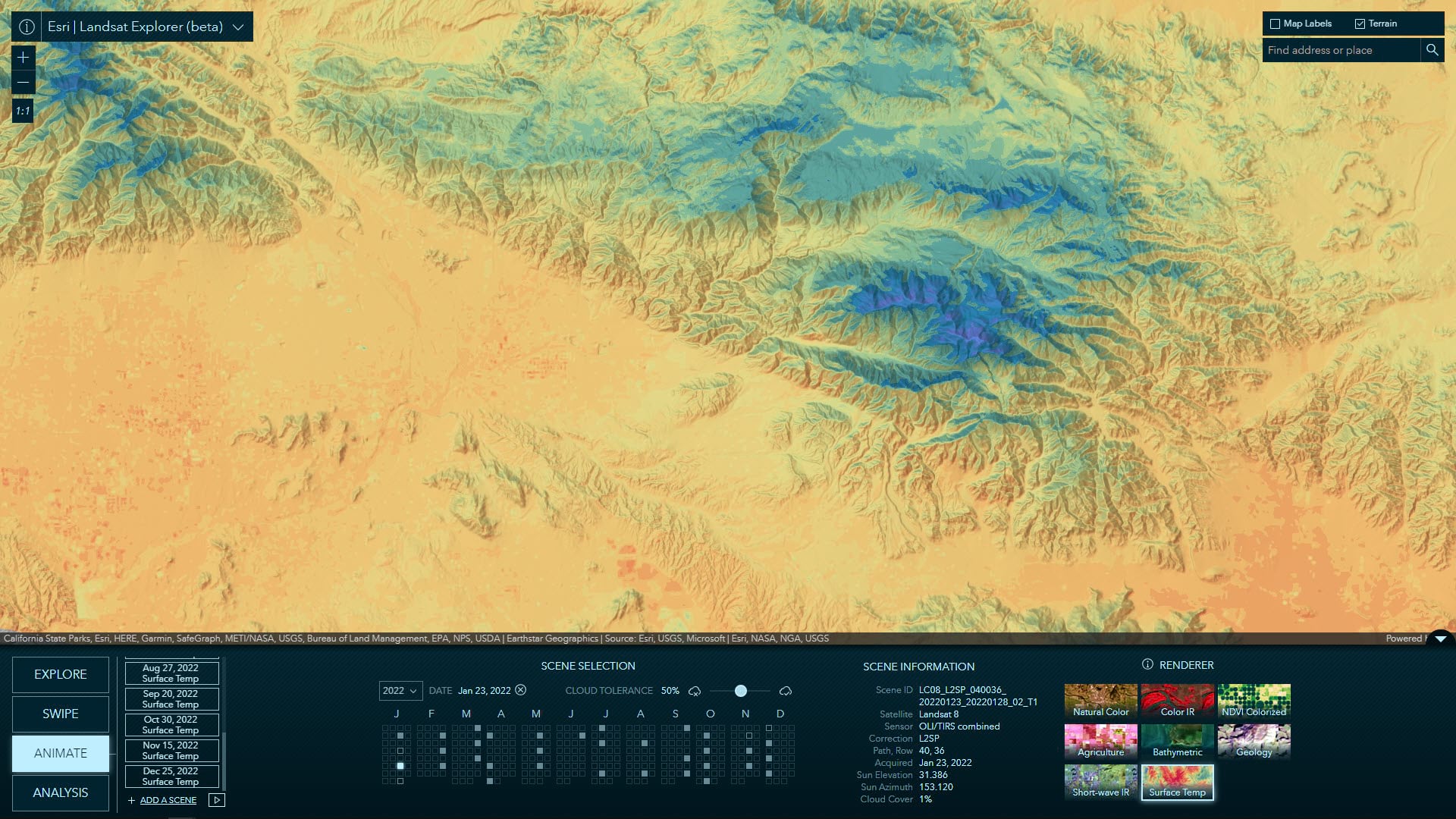
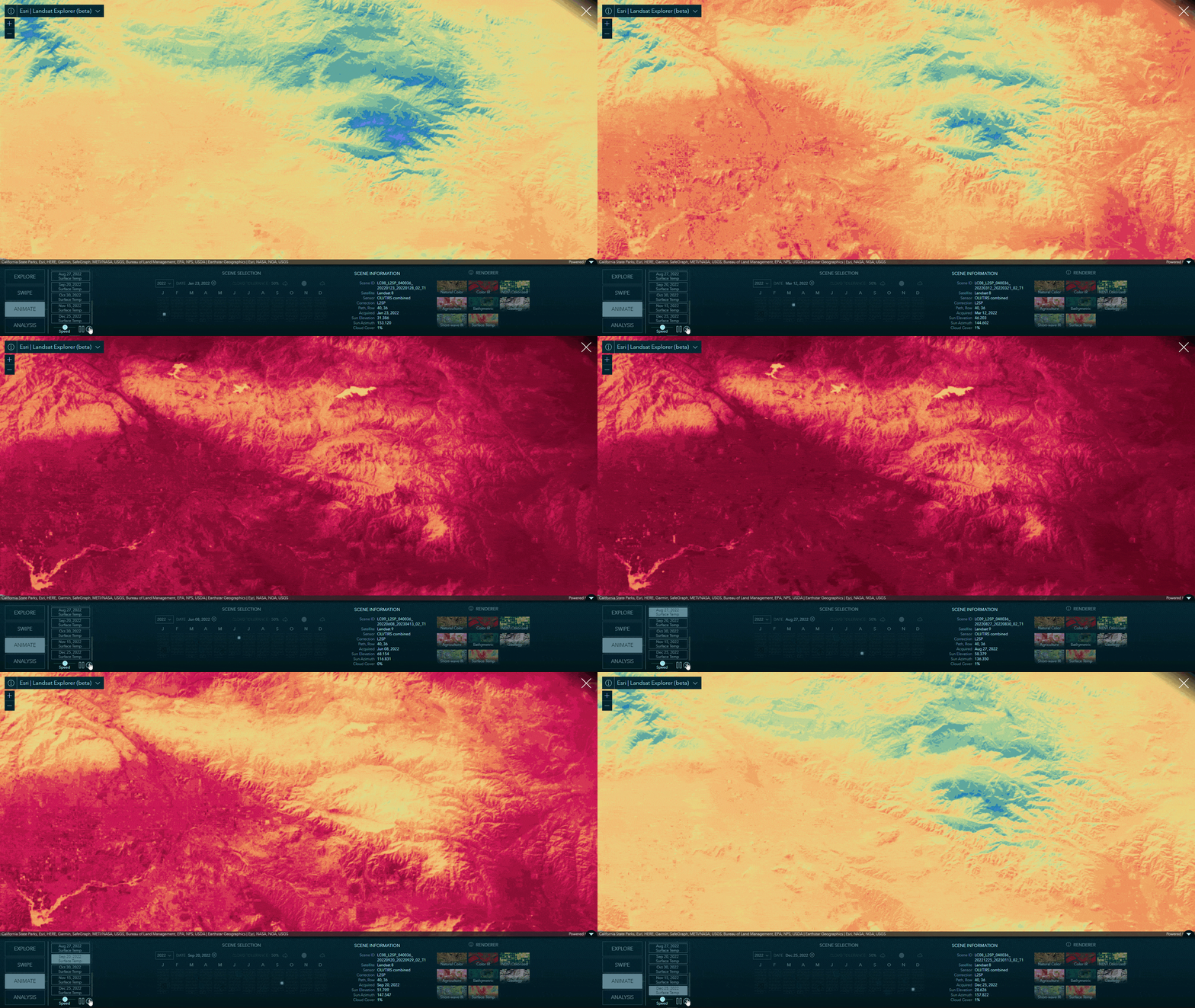
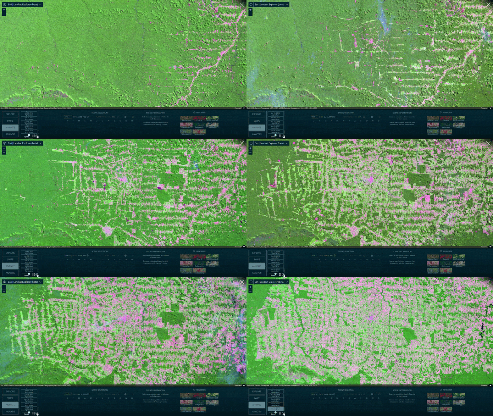
Frame animation is another great way to visualize changes over time and/or different rendering of the same image. With this app, and the temporal depth of the Landsat Level-2 image service, it has never been so easy to customize and create incredibly compelling animations and time-lapse. Simply click add a frame, select a year and date, repeat, and push play when you are ready. That’s all there is to it.
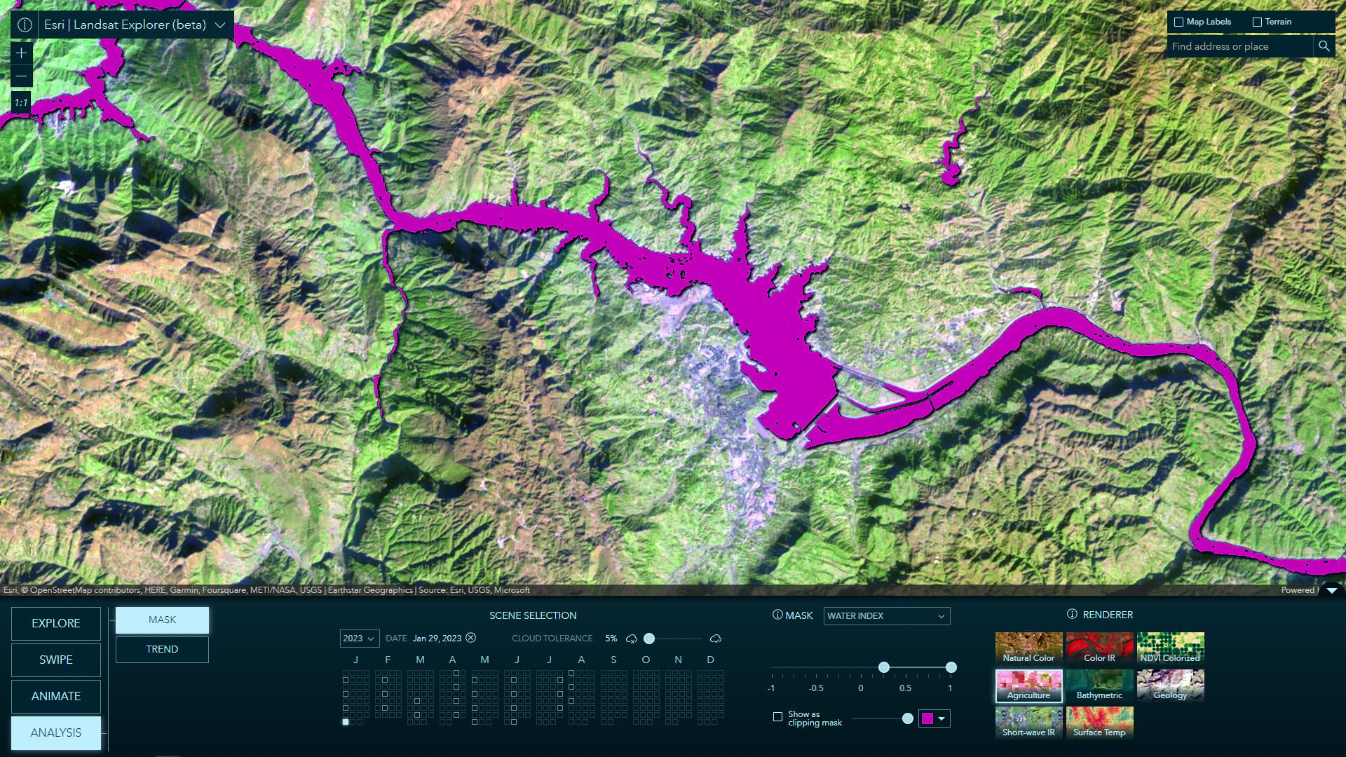
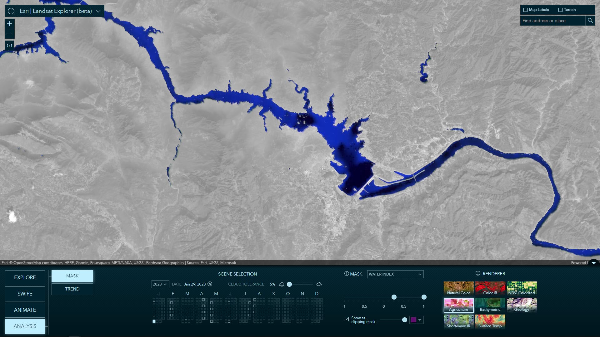
Quickly delineate surface conditions, such as surface water, surface temperature, and vegetation, with spectral and index thresholding. Render the results as a solid color mask on top of the imagery or as a clipping mask revealing only the pixels within the specified threshold.
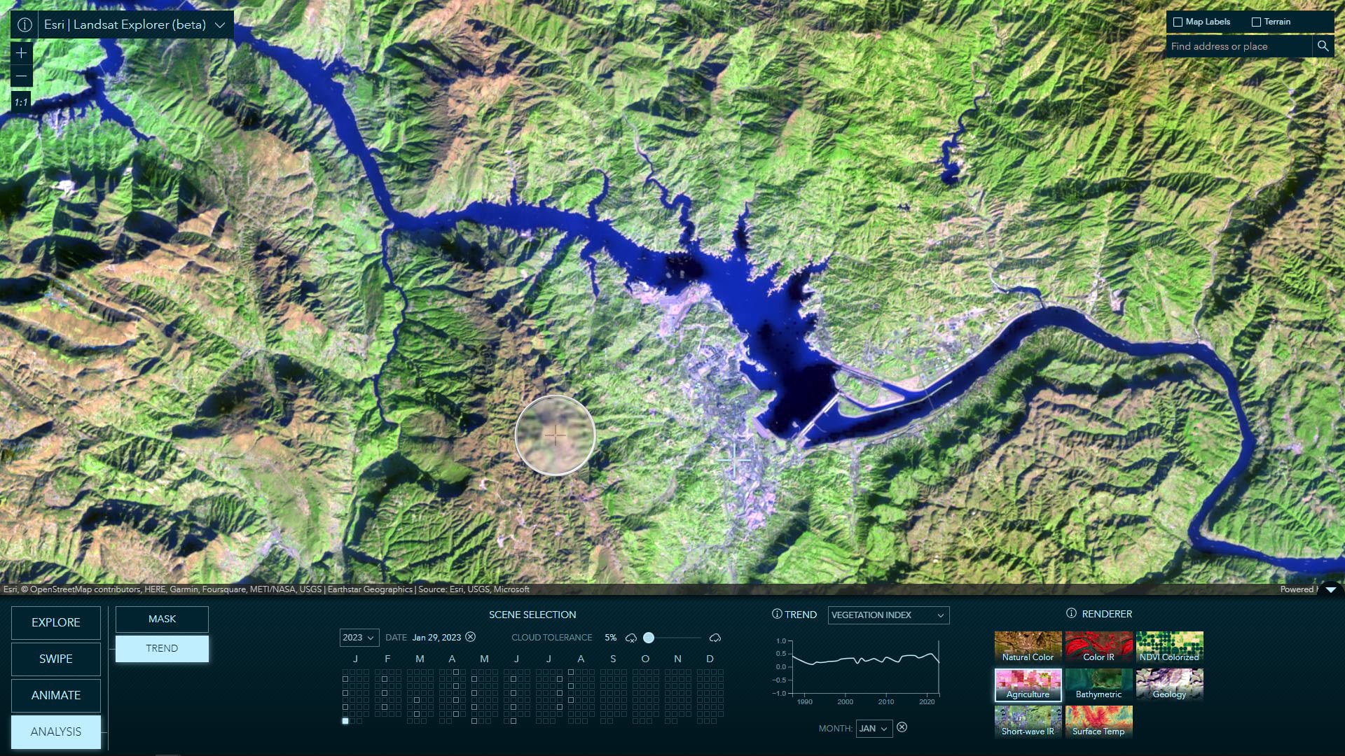
Select a point on the map and a category to analyze trends over time.
Availability
Both the Landsat Level-2 service and the new Landsat Explorer app are in beta release. We expect these to be out of beta and into general availability in Q4 2023.
The legacy version of the Landsat Explorer is also still available for use.
Shout out to the amazing people who make this all possible:
App development: Jinnan Zhang
UX/UI and cartographic design: John Nelson
Image service development: James Sill and Vijay Pawar
Systems engineering: Sreekumar Sreenath
Cartographic inspiration: Emily Meriam


Article Discussion: