What! GIS Day (stands for Geographic-information-systems Is Spectacular…Day) is so close! It’s nearly upon us. I’m thinking I might sleep in the map patch the night before, in the hopes of catching a glimpse of the Great Map with my own eyes.
This November 18, at 1:00 pm eastern, Keith VanGraafeiland and I will be conversing with six mega-interesting map friends. You can sign up here to join us. I mean, why not?
Our field is such a wonderful community of creative and clever folks working hard to provide structure and understanding. I’m constantly amazed at how generous folks are with their time and willing they are to share their resources and workflows. It’s a day to celebrate the wonder and knowable mystery of spatial thinking and geographic action. Keith VanGraafeiland (Keith is an oceanographer, and his surname is Dutch for “of the grave island.” Wow, do not mess with that guy) and I will be chatting with some intensely interesting geo-folks about the ways that they map the world, why they do it, and how you can too. Because we think it will be fun!
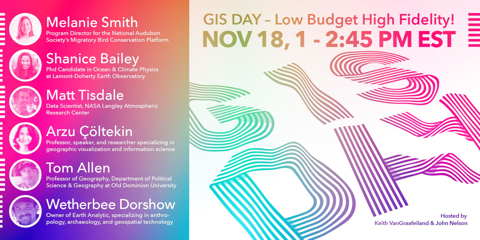
Melanie Smith
Shanice Bailey
Matt Tisdale
Arzu Çöltekin
Tom Allen
Wetherbee Dorshow
In this absurdly informal conversation series with our six map-wielding friends, we’ll learn in what ways mapping is a part of their work and how they blend their ideas and passion into it. Each guest will describe a bit of their work for around ten minutes or so, then chat with Keith and I for a few more minutes, seeded with the questions that you ask. Drop a question you might have for any/all of them here in the comments and we’ll stump our guests with it. Will they share interesting examples? Loads. Will we all, including you, bring some big map energy? Come onnnnn.
Here’s that link if you want to sign up. It’s free. I don’t know if that was clear but it’s free. It will only cost you some portion of 1.75 hours of your allotted time on this earth. But I look at it as more of a force-multiplying investment, you know?
P.S. Fun fact, this poster was designed by my son, Bear. The joys of geography span the generations.


Article Discussion: