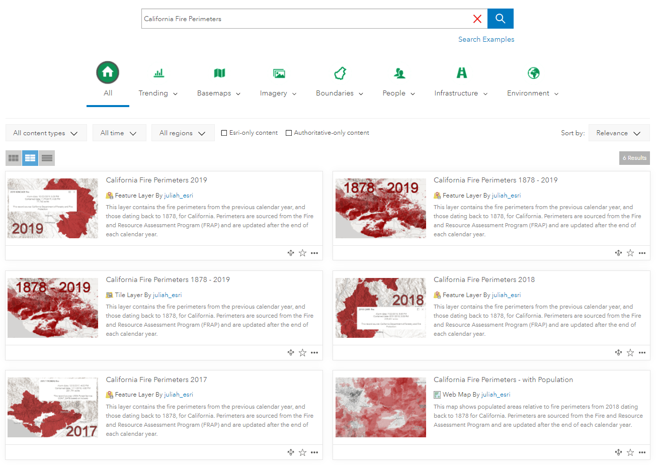
Each year at CAL FIRE, the Fire and Resource Assessment Program (FRAP) “compiles fire perimeters and has established an on-going fire perimeter data capture process. CAL FIRE, the United States Forest Service Region 5, the Bureau of Land Management, and the National Park Service jointly develop the fire perimeter GIS layer for public and private lands throughout California at the end of the calendar year.” – Source FRAP.
This latest update is now available in ArcGIS Living Atlas of the World which includes the addition of 2019 fire perimeters. The FRAP suite of layers comes with the following:
- A hosted feature layer containing all perimeters from 1878-2019 (141 years!)
- An equivalent hosted tile layer
- Three hosted feature layer views for 2017, 2018, and 2019
The hosted feature views give a filtered view of a single year as examples of how multiple specific years can be easily deployed from the parent layer (1878-2019). Doing your own filtering by year on the parent layer is highly encouraged to make the layer your own.
The feature layer contains all three perimeter layers from FRAP’s database. These layers are broken down into the following categories:
- Burn areas: A layer depicting wildfire perimeters from contributing agencies current as of the previous fire year
- Prescribed burns: A layer depicting prescribed fires supplied from contributing agencies current as of the previous fire year
- Other burns: A layer representing non-prescribed fire fuel reduction projects that were initially included in the database. Fuels reduction projects that are non prescribed fire are no longer included
Attributes in the dataset include important information such as fire name, cause of fire, and total acreage.
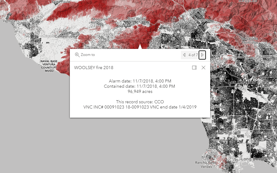
The example web map below overlays a dot density map of population with the fire perimeters, to help understand the interface between the physical world and the social world. The map also takes advantage of the Map Viewer Beta’s new blending capabilities to show topographical perspective.
Pan around and click the map for more information.
Now that fire season is in full swing, this historical data is vital for future planning, improving fire prevention and suppression, and reducing hazards and risk in the wildland-urban interface.

Article Discussion: