Just because your map is in the Netherlands, doesn’t mean you can’t brew some terrain hillshade into it! I’m from the glacially-scraped flatlands of Michigan, trust me, I know flat. But I also know that a bit (or a lot) of terrain hillshade on a map can bring it to life. So what can be done if the mapped area should illustrate even the subtlest of elevation, but by golly there is hardly an elevation to be had? No problem, we will harness the power of statistics and the prowess of ArcGIS Pro to add a wrinkle to even the smoothest of landscapes.
Here’s how:
0:00 A bold introduction. Can he make good on his claims?
0:07 Mt. Pleasant, Michigan. A misnomer if there ever was one.
0:25 Adding in the wondrous, and highly luscious, digital elevation model image service from Living Atlas. Anywhere in the world, any scale. Even flat, flat, Mt. Pleasant.
0:34 Making a hillshade, based on the elevation data, using the “Hillshade” raster function. I love this tool. And I love the team that made it. Behind every feature is a team of folks doing their best to make something wonderful.
0:50 Maximizing hillshade variability with the Dynamic Range Adjustment renderer. This only bothers with the current view area so tones aren’t wasted on out-of-sight stuff.
1:25 Forcing tone variability across the range of shadows using STATISTICS! Standard deviation as the “stretch type” strong-arms the distribution of pixels across the color scheme.
2:15 Give it an Overlay blend mode and POW, look at that! Forcing bumpiness in a nearly bump-free area. Hillshade finds a way!
2:56 Not enough? Tough customer! Ok, here’s a second technique that you can layer in. Same hillshade, but no blend mode and make the middle colors (flat areas) transparent.
4:24 Gratuitous verification tour of flat areas including Florida, the Netherlands, Sahara, and Moscow.
Please help yourself to this cacophony of before/after examples…
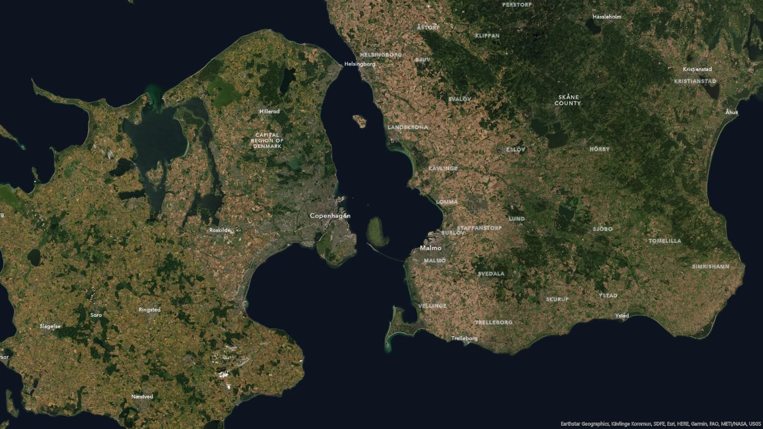
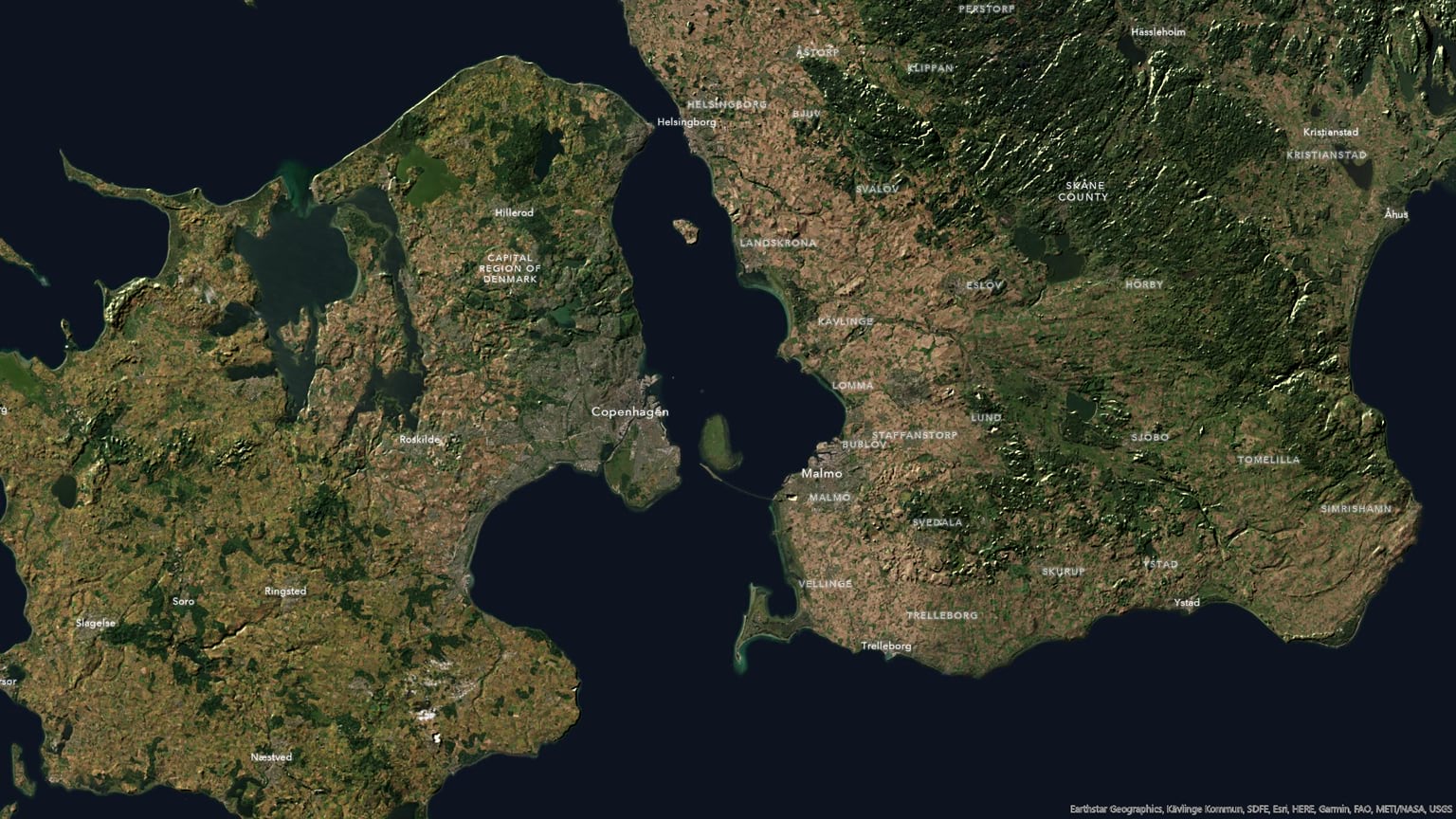
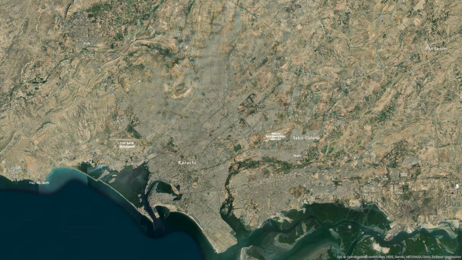
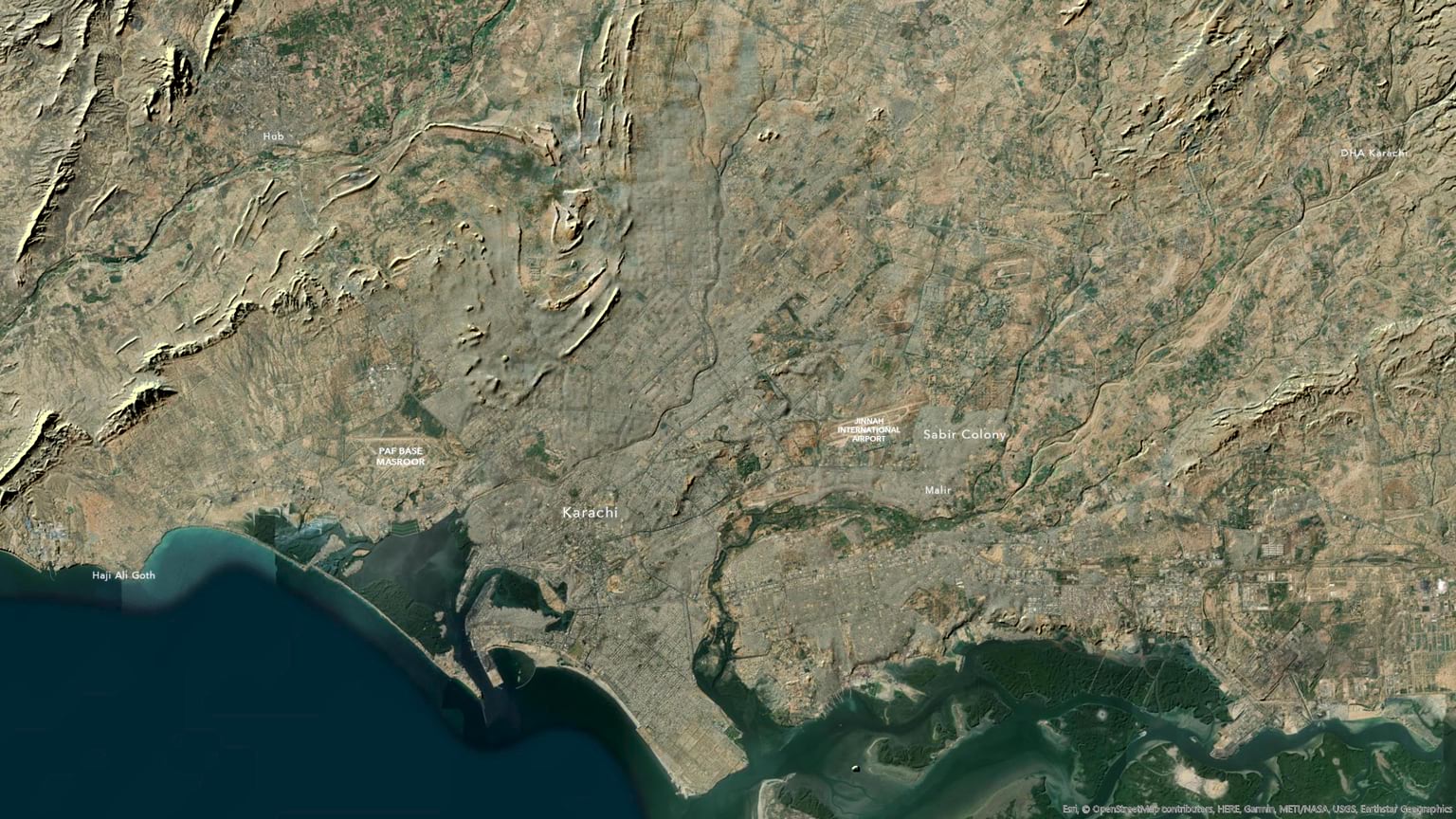
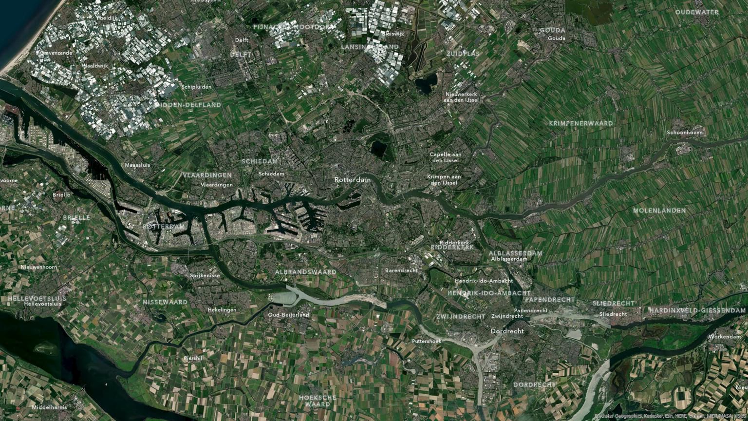
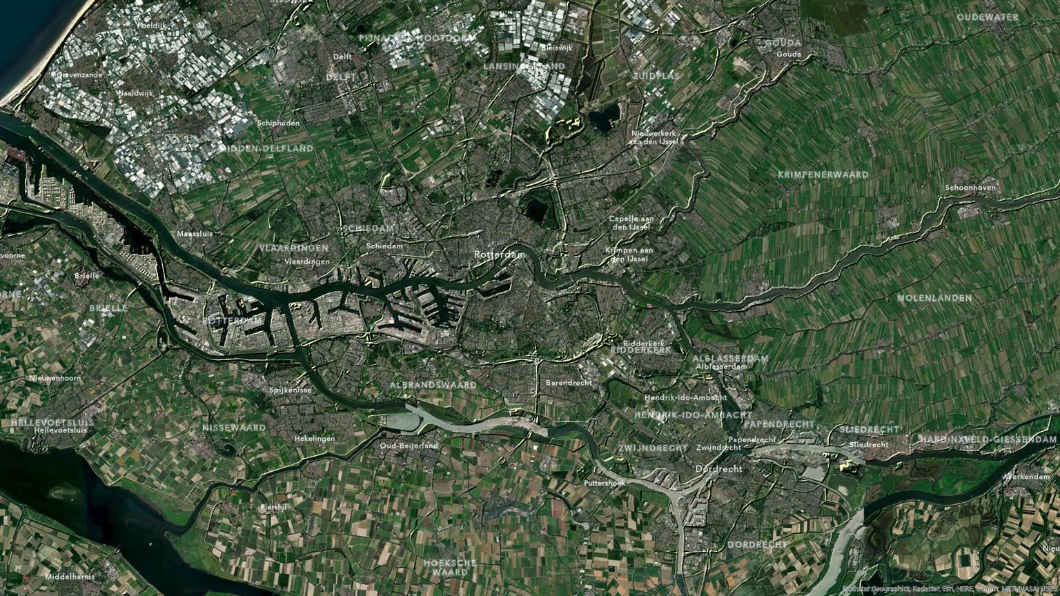
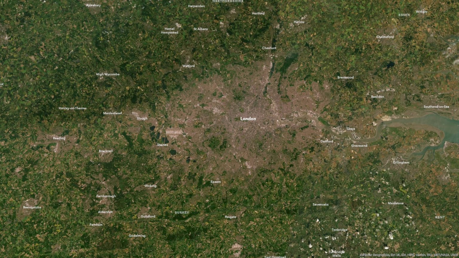
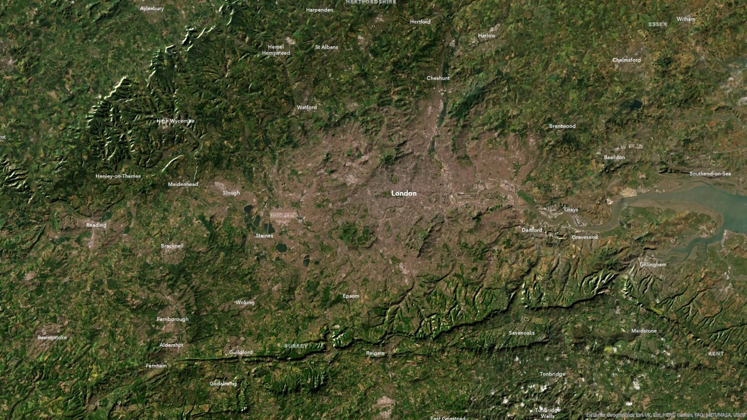
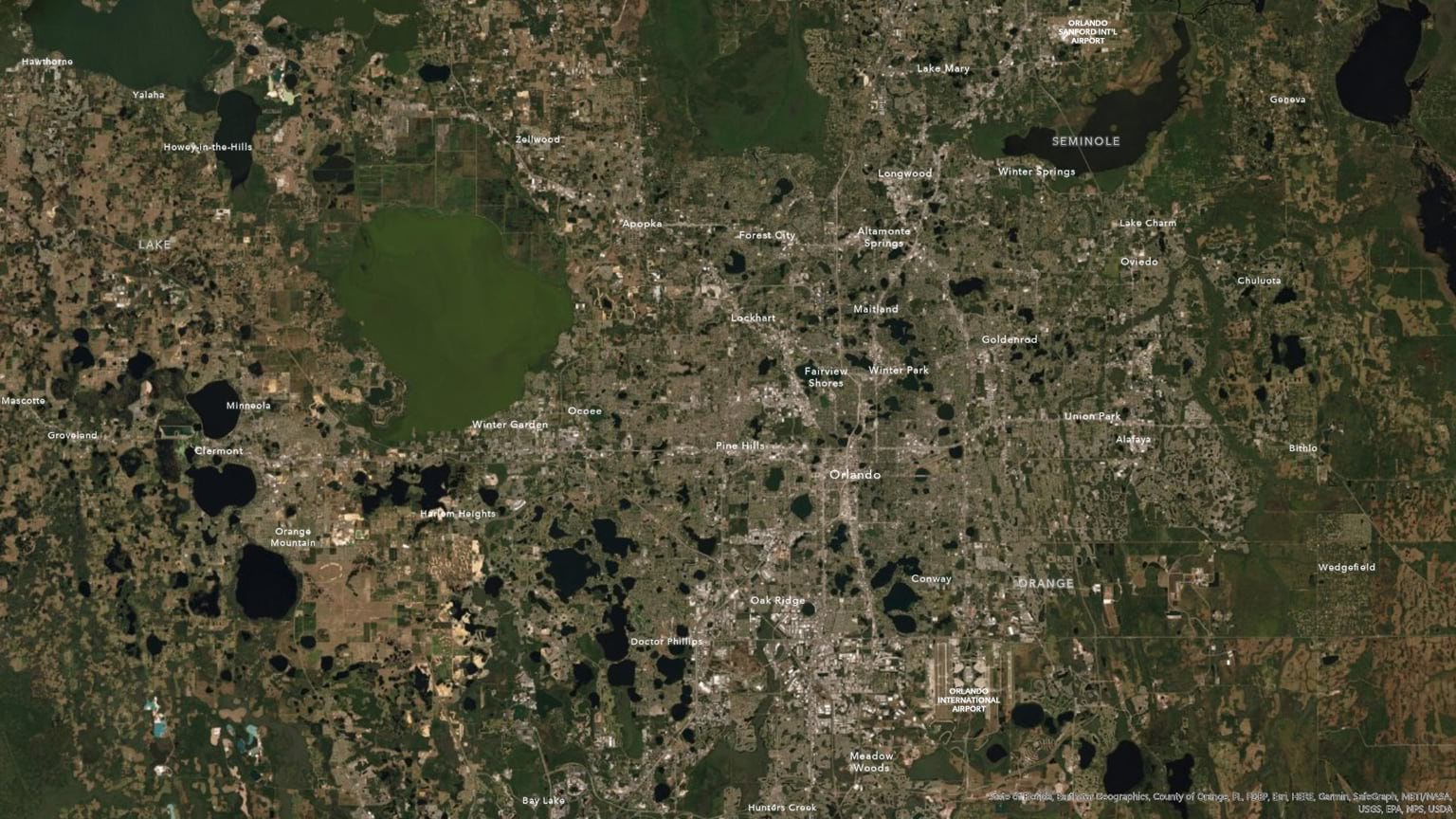
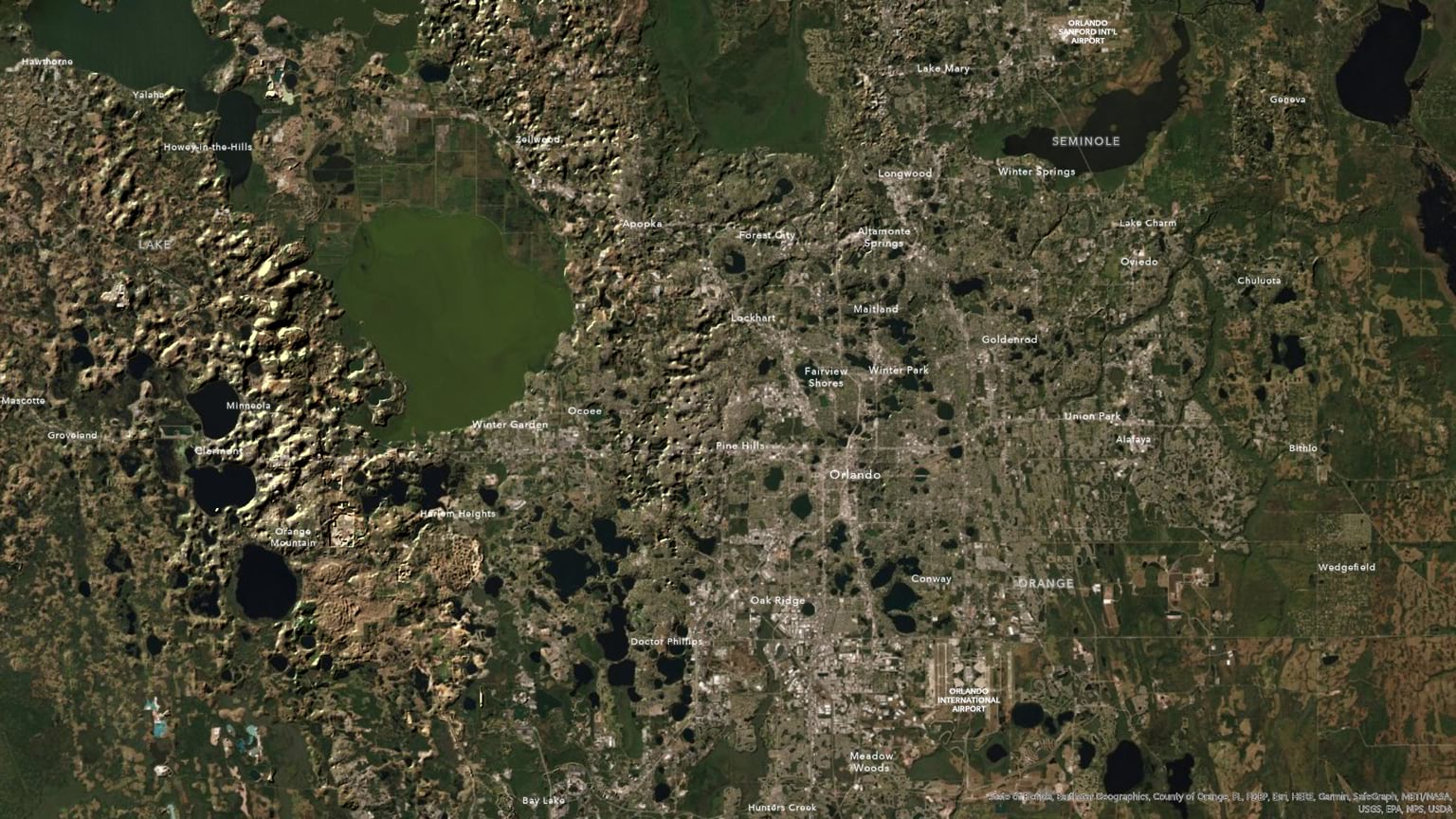
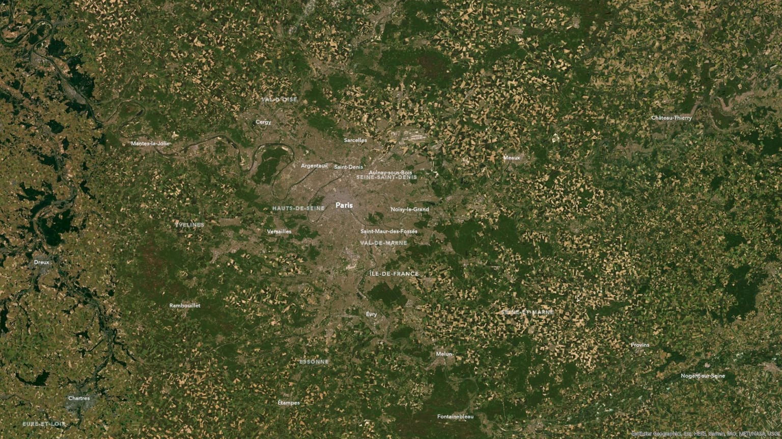
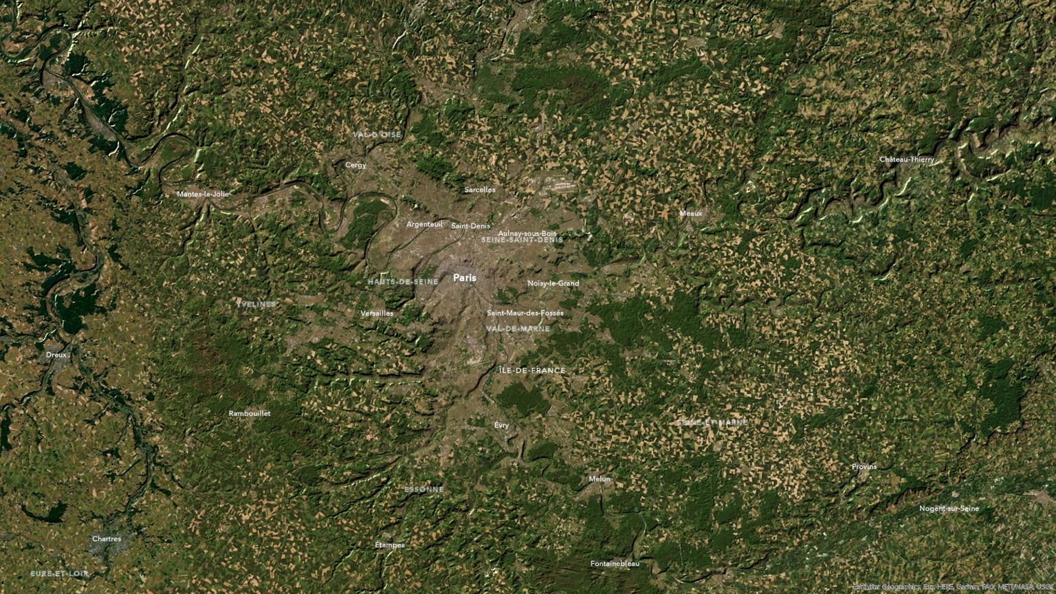
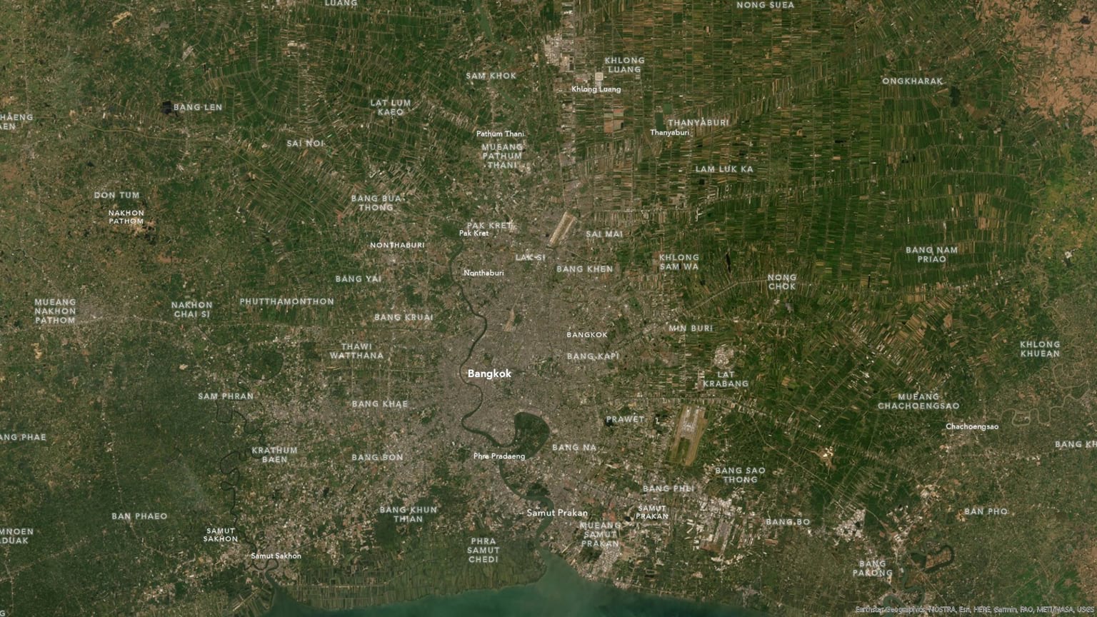
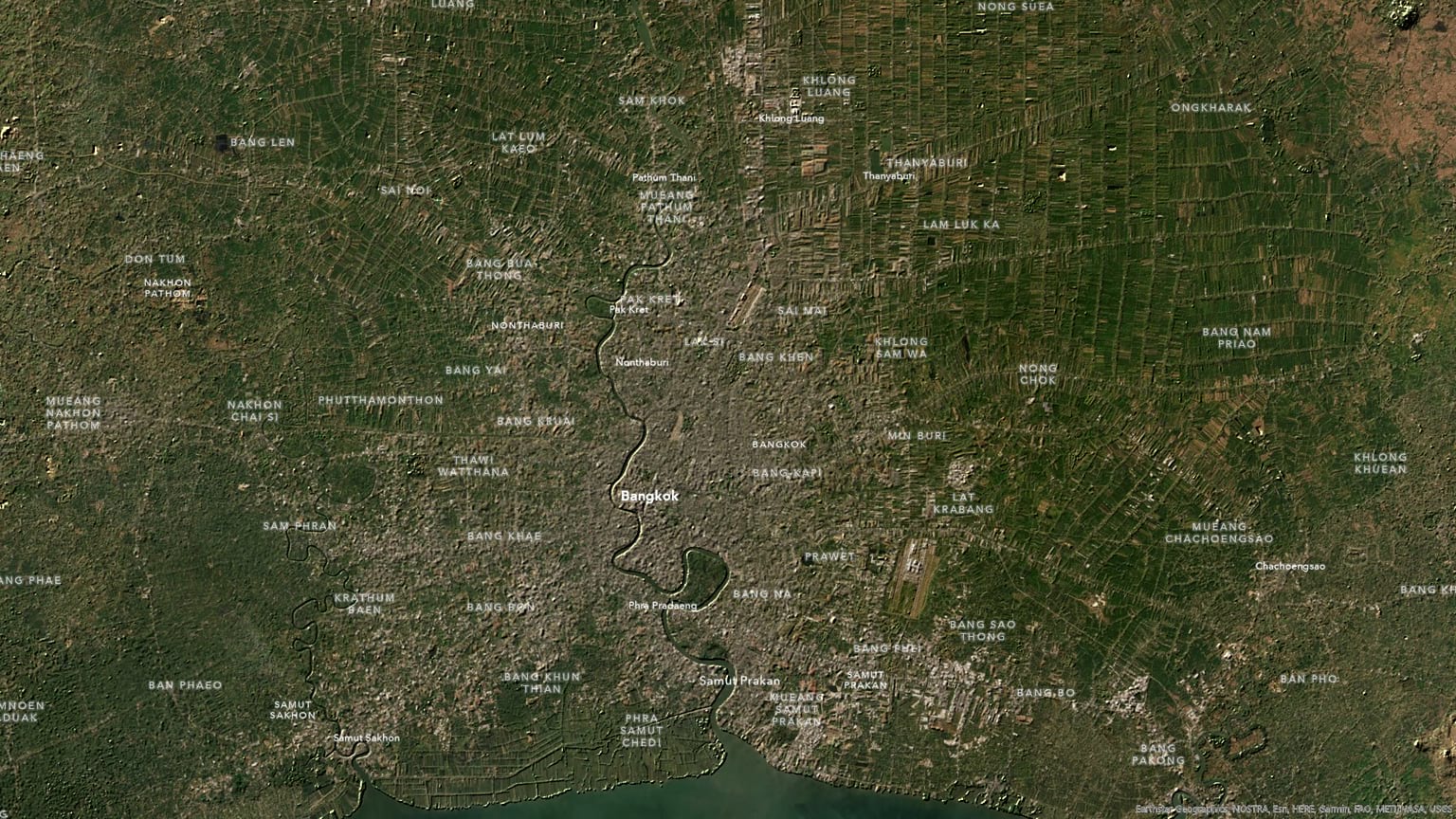
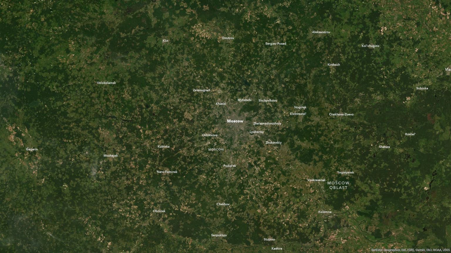
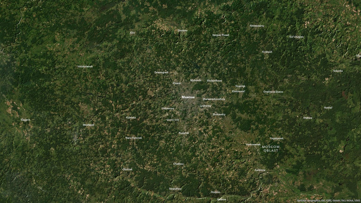
Happy flatland hillshading! John
P.S. Yes, I tried this on the Bonneville Salt Flats and flat is just flat. Nothing to work with. Let’s be reasonable, people.


Article Discussion: