Imagery is the most detailed, most literal of basemaps. You are actually seeing a picture of what the ground looks like at any location. And while this sort of context can be incredibly useful, it can also wreck the way we see and understand thematic data that is draped over it. But in mapping, we are always making tradeoffs and balancing the costs and benefits of all our map choices. Sometimes imagery provides a foundation of information that is just too useful to throw away wholesale. How do we balance the utility of imagery with the risk of muddling our visual interpretation of data that sits atop it?
Here are a couple snapshots of a map showing drought severity in the United States. It shows a handful of categories as polygons. Given the topic, imagery is a tempting basemap: it’s important to me to show drought in the context of underlying general landcover and terrain. However, the tonal variability that this imagery introduces has made the data effectively impossible to interpret. Any benefit the imagery brings is wholly eclipsed up by the visual problems that it introduces.


Should we toss imagery out entirely? Not necessarily. If we reduce the tonal variation of the underlying imagery basemap, we retain the benefits of seeing our mapped phenomenon in the context of its natural landscape and we minimize the visual interference that comes along with it. Here is an example of the newly toned down imagery basemap, over which the drought categories are much more visually discernable.


Better? Yes. Perfect? No such thing. On balance, is the tonally neutralized imagery basemap an overall value add? In this case, I’ll take it.
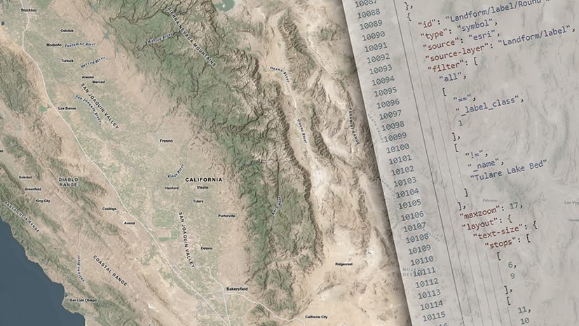
Here is an ArcGIS Online basemap that you can consider (or tweak) for your I-want-to-put-data-on-it maps.


If you are interested in how it was made, or would like to make (and/or modify) your own tonally-reduced imagery map, here is a walk-through for the ArcGIS Online Map Viewer…
…
0:00 John fresh form the dentist with a mush-mouth
0:37 The problem with regular imagery for thematic map basemaps
1:29 Reducing the contrast of the imagery, with effects
2:09 Adding a dark water overlay (with coastal hack!)
3:13 Bringing back some terrain texture
4:30 Adding reference borders
5:25 Adding labels
…
If you are interested in taking your basemap customization energy even deeper, I recommend this resource from my basemap slinging friends Emily Meriam and Andy Skinner.
Happy mapping! John

Article Discussion: