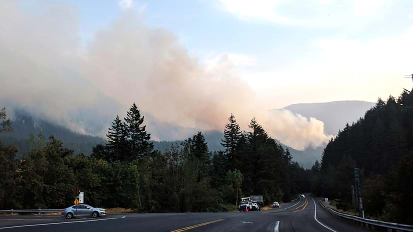
Emily Meriam
Connect:

With over two decades of GIS experience Emily has mapped elephants in Thailand, wildlife poachers in the Republic of Palau, land use related issues around Yosemite National Park, and active wildfire incidents for the State of California. Presently she is a Senior Product Engineer and Cartographer with the ArcGIS Living Atlas of the World where she styles and designs layers, maps, and apps with the Environment Team. When not making maps, she is a true geographer and loves traveling with her family.

Posts by this author
Discoveries and Revelations: Exploring the World Soils 250m Layers

ArcGIS Living Atlas of the World now includes the best available medium scale world soil data to support your mapping and analysis workflows.

Continue Reading

Swapping Layers: A great way to build and maintain your feature layer

Layer Swap is a quick-and-easy way to update your feature layers while providing a seamless experience for your map's users.

Continue Reading

Sounds Like a Better Plan: USA Transportation Noise, Revised and Updated

The Living Atlas of the World updated the hosted image service featuring transportation noise, from the USDOT.

Continue Reading

A Watershed Moment

Updated data from the Watershed Boundary Dataset (WBD) now in Living Atlas.

Continue Reading

Basemap… or just ‘Map’?

Edit and customize base labels and blur the lines of what's possible with a basemap...

Continue Reading

New Updates for Wildfire Aware

App enhancements and updated demographics help to increase your awareness during fire season.

Continue Reading

Wetlands of the United States

The National Wetlands Inventory provides a comprehensive map of the wetlands of the United States.

Continue Reading

Earth Art with the Vector Tile Style Editor

Become a terrain artist by removing code from the Topographic Basemap to meld with World Imagery.

Continue Reading

How old is the seafloor?

Some areas of the seafloor might be older than you think.....

Continue Reading

1 2 3 5