Precipitation is the main driver of the water cycle: it waters our crops, it replenishes water in reservoirs, and heavy storms produce floods that affect our communities. ArcGIS Living Atlas of the World includes precipitation layers that can be used for environmental analysis, from short-term precipitation forecast to spatially-distributed raster datasets that are updated in near-real time through our Live Feeds. Living Atlas includes precipitation datasets that can be used for diverse applications.

Living Atlas now includes two new precipitation datasets: The Integrated Multi-Satellite Retrievals for Global Precipitation Measurement (IMERG) and WorldClim.
IMERG
The Integrated Multi-Satellite Retrievals for GPM (IMERG) dataset provides global precipitation estimated from NASA’s Tropical Rainfall Measuring Mission (TRMM) and the Global Precipitation Measurement (GPM) satellites. The IMERG image layer in Living Atlas is a mosaic of monthly precipitation rasters at 0.1 degrees spatial resolution from June 2000 to the present, with a data latency of 2.5 months. The IMERG image layer is updated automatically when new data are available every month through a Live Feed routine.

The IMERG layer displays a time-series of monthly precipitation rasters. The time-series values can be queried as any other item in ArcGIS Online, for example by using the ArcGIS API for Python or the ArcGIS REST API.
WorldClim
WorldClim 2.1 is a dataset of climate variables downscaled to different spatial resolutions. The WorldClim image layer in Living Atlas provides mean monthly precipitation and total annual precipitation for the period between 1970 to 2000 at 2.5 arc minutes (~5 km) spatial resolution.

The WorldClim Precipitation layer shows the expected inter-annual precipitation at any given place.
Precipitation items in Living Atlas
In addition to IMERG and WorldClim, Living Atlas includes precipitation layers that are useful for different water resources applications. To highlight a few:
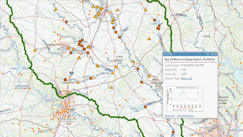
- National Weather Service Precipitation Forecast: Cumulative precipitation forecast for the next 72 hours in the Contiguous United States.
- GLDAS Precipitation: Monthly precipitation estimates from the Global Land Data Assimilation System (GLDAS) from 2000 to current.
Summary
Precipitation is a key variable for the study of the environment. Living Atlas includes precipitation datasets for analysis and mapping, from long-term average conditions such as in WorldClim to a time-series of monthly precipitation estimates from IMERG.
More Information
Join the Esri Community of experts to get inspired by others or get answers to your questions.


Article Discussion: