Gonzalo Espinoza
Connect:

Gonzalo Espinoza is a Principal GIS Engineer at ArcGIS Living Atlas of the World. Gonzalo specializes in hydrologic modeling, real time climate and hydro-informatic tools such as flood mapping and forecasting using National Water Model data. He masters the full geospatial tech stack required to develop scalable and operational services relying on large volumes of EO data in the fields of water and environment. At Living Atlas, he also supports the development of workflows for automation of data updates known as Live Feeds, technology used at Esri’s Disaster Response Program. Before ESRI Gonzalo worked in the development of Water Accounting at UNESCO IHE. He holds a PhD in Civil Engineering from the University of Texas at Austin.
Posts by this author
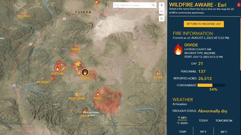
New Updates for Wildfire Aware

App enhancements and updated demographics help to increase your awareness during fire season.

Continue Reading

Be Wildfire Aware within your own maps

The incident, population, and environment enriched layers from Wildfire Aware are now available as a live feed layer for your maps and apps.

Continue Reading

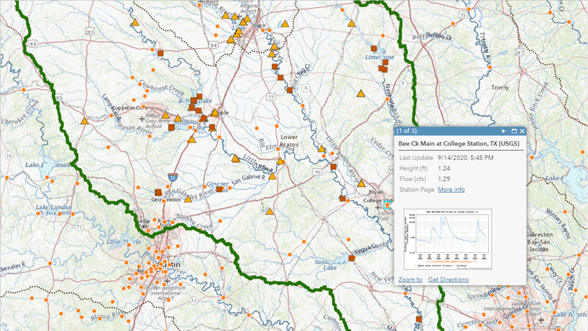
Water Availability in the Jordan River Basin using Living Atlas Layers

Leveraging Living Atlas image services to support water resources management

Continue Reading

Wildfire Aware App Design and Implementation

The Esri team responsible for the Wildfire Aware app shares key design and implementation decisions.

Continue Reading

Evapotranspiration Data in ArcGIS Living Atlas of the World

Use evapotranspiration data in Living Atlas from the Operational Simplified Surface Energy Balance (SSEBop).

Continue Reading

Overwrite Feature Services Script Tool for Automating Updates

The overwrite hosted feature services tool allows you to automate updates of ArcGIS Online items, keeping layers displaying the latest data.

Continue Reading

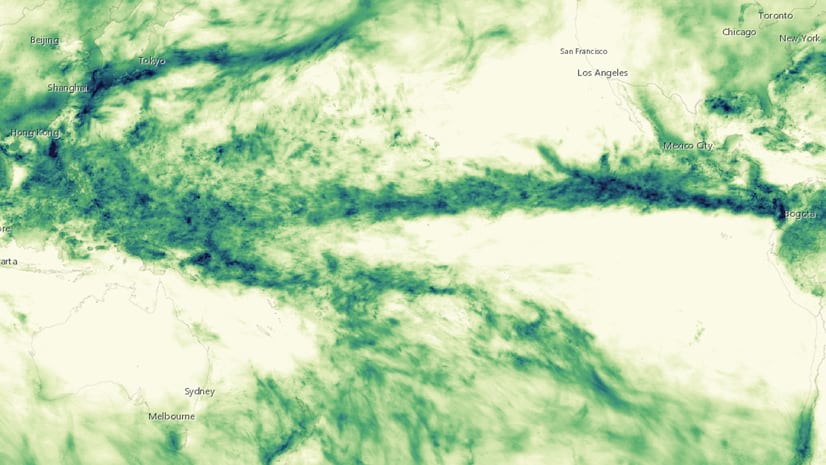
Precipitation Layers in ArcGIS Living Atlas of the World

Explore precipitation datasets in ArcGIS Living Atlas of the World

Continue Reading

Update attribute field aliases from a lookup table in ArcGIS Pro

Have field names and corresponding aliases stored as a two-column lookup table or data dictionary? Apply those aliases with our script tool.

Continue Reading

Keeping Layers Updated by Appending Features using the ArcGIS API for Python

Learn how to append features from a local geodatabase into a feature service.

Continue Reading

1 2