
Accurate local road data is far more than a technical GIS responsibility — it is a foundational component of modern public infrastructure, emergency response, utility coordination, and everyday navigation. A single correction to a roadway, address point, or routing attribute can create a cascading operational impact that reaches thousands — or even millions — of downstream users.
While GIS professionals often initiate and manage these updates behind the scenes, the benefits extend well beyond the GIS department. Improved road data quality directly influences public safety, operational efficiency, commercial logistics, and citizen experiences across an entire region.
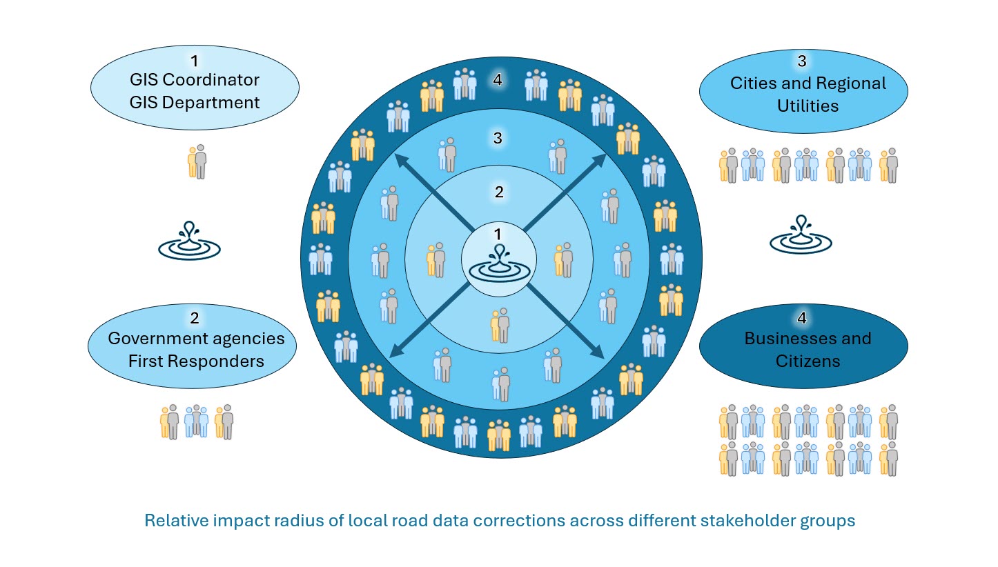
Over here at Esri Community Maps, we call this the ‘Ripple Effect’. The ripple effect suggests that corrections to local road data have an increasingly larger downstream impact as information propagates through operational systems and public-facing applications.
Understanding the Ripple Effect of Road Data Corrections
The relationship between GIS data maintenance and public impact can best be visualized as an expanding circle of influence. As local road data becomes more accurate, the operational benefits spread outward across multiple stakeholder groups.
Stakeholder Impact Hierarchy
The following hierarchy illustrates how roadway corrections affect increasingly larger populations:
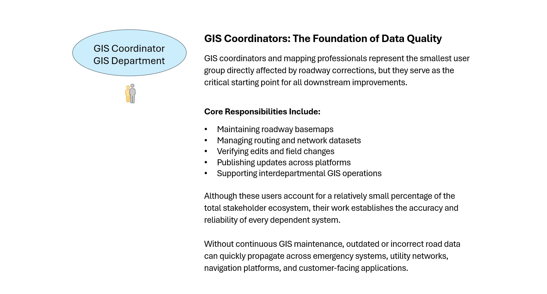
- GIS Coordinators and GIS Departments
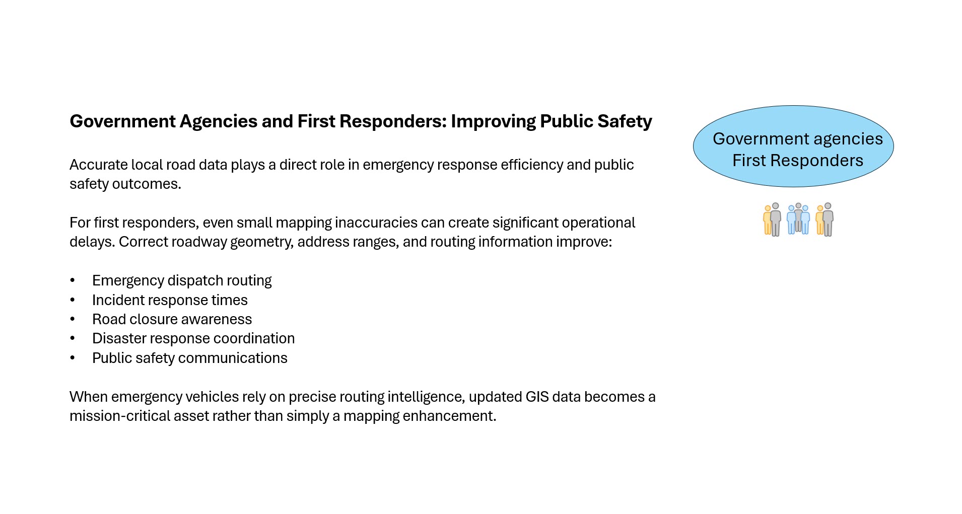
- Government Agencies and First Responders
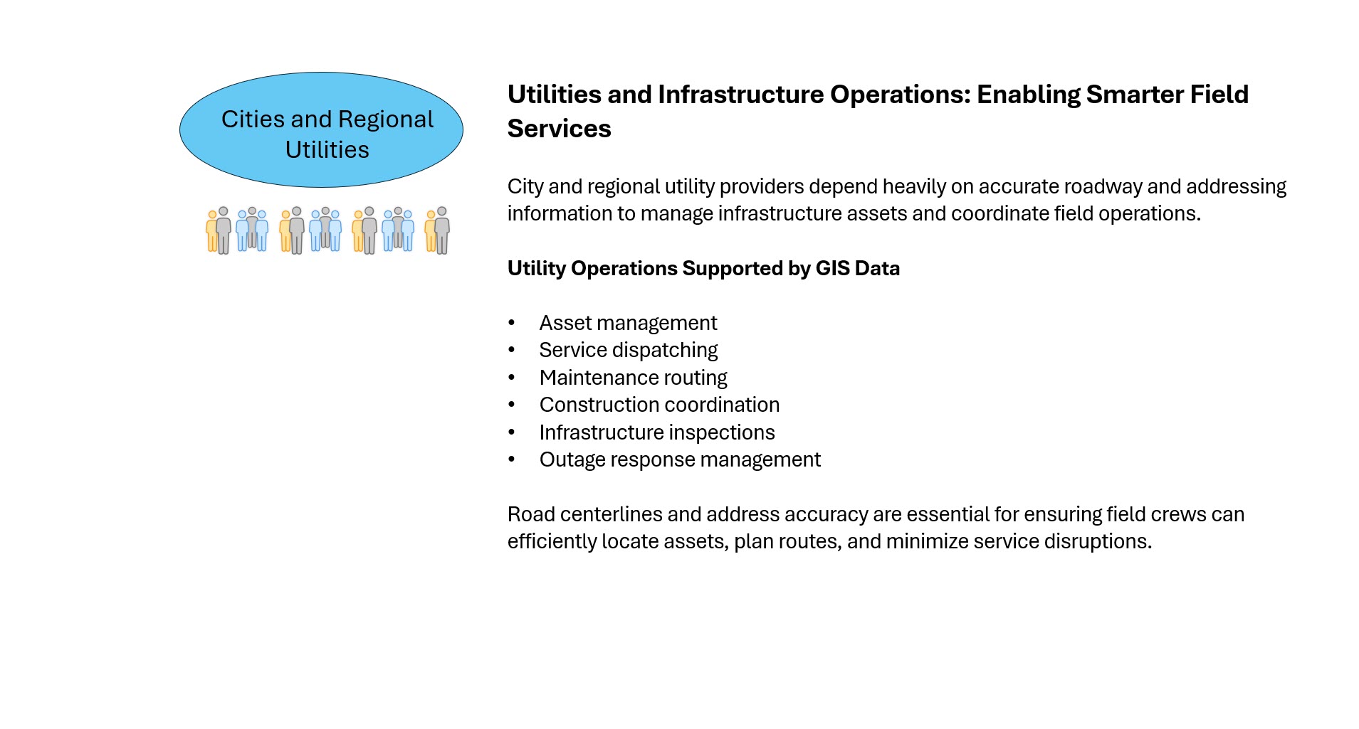
- City and Regional Utilities
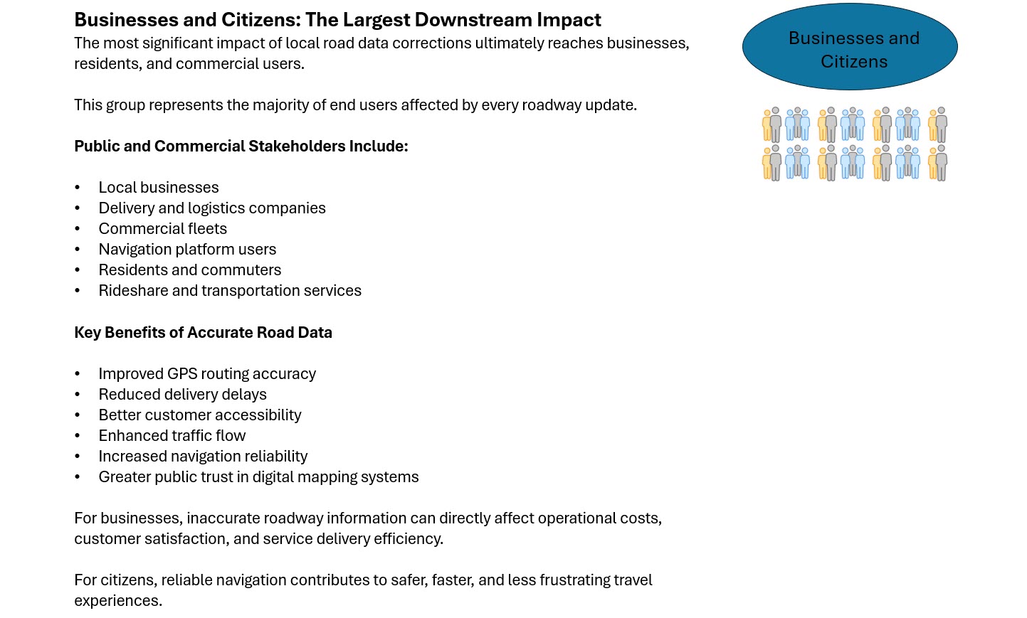
- Businesses and Citizens
Each layer depends on accurate road network data to support critical operations and services.
Estimated User Impact Distribution
Although exact numerical values vary by municipality and system architecture, the relative downstream impact can be estimated based on operational dependency and audience scale.
| Stakeholder Group | Primary Role | Estimated Share of Total Users Impacted |
| GIS Coordinators / GIS Departments | Internal operational management | ~5% |
| Government Agencies / First Responders | Public safety and emergency services | ~10–15% |
| City or Regional Utilities | Infrastructure and field operations | ~20–25% |
| Businesses & Citizens | Public navigation and commercial usage | ~55–65% |
The data clearly demonstrates that the largest impact of road corrections ultimately reaches the public and private sectors that rely on accurate navigation and routing information daily.
The Real ROI of GIS Data Maintenance
One of the most important takeaways from this analysis is that GIS data maintenance should not be viewed as an isolated technical task.
Instead, it represents a strategic investment with measurable cross-functional benefits.
Community Road Centerlines
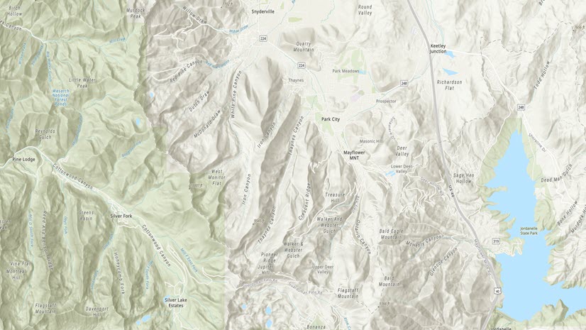
By contributing authoritative local data through Esri Community Maps, participants directly influence the commercial road dataset that powers Esri basemaps, routing, navigation, and analytic services. This ensures their region is represented as accurately as possible.
Road centerlines are the foundation for effective and accurate basemaps. Esri Community Maps is seeking accurate, up-to-date and continuously maintained road centerlines.
If your organization is managing road centerline data that could improve our commercial road source, explore the Community Road Centerline video and click on the StoryMap below to learn more.
Questions? Email communitymaps@esri.com


Article Discussion: