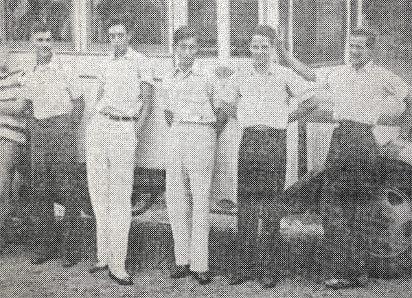
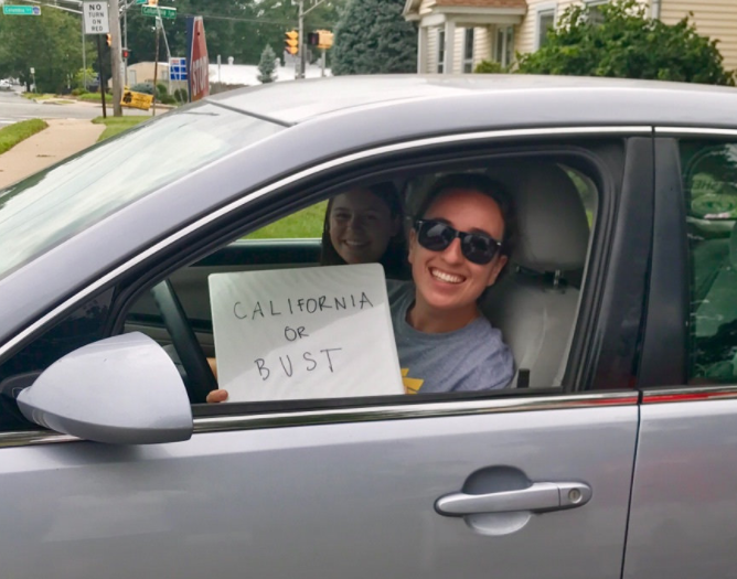
In the summer of 2017 Lauren Herbine, a student at the College of William and Mary, set off from New Jersey on a cross-country road trip. Almost eight decades earlier, her grandfather had mounted a similar but somewhat more audacious expedition with six fellow 16-year-olds. They had cobbled together a makeshift RV from the chassis of an ice truck (cost: $15) and the body of a school-bus-turned-storage-bin (cost: $10), and set off for points west.
Lauren documented both adventures in the form of a Story Map: Spirit of ’39: A granddaughter’s crosscountry journey honoring seven free-spirited boys. The result is a delightfully engaging, personal story of highway hypnosis, purple mountains’ majesty, and family devotion. Lauren skillfully weaves her grandfather’s triumphs and travails into her own, latter-day account.
The rich mix of maps and multimedia content that story maps accommodate makes them an ideal platform for travelogues. Maps provide the geographic context, of course, with text doing the basic work of telling the story. Photos and video, if chosen with skill, can bring a travelogue to life, giving readers a vivid sense of life on the road. Lauren chose to add audio clips—a relatively recent addition to our Story Map Cascade app’s capabilities—further enlivening her narrative.
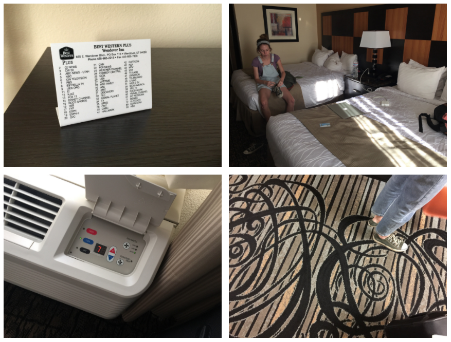
In 2016 I assisted my daughter, Tess, in driving her aging Toyota from California, where she had been working, to the east coast. We documented the trip with iPhones and digital camera, portraying everything from sublime landscapes to Holiday Inn amenities, from cornfields to Pokémon Go characters. We’d like to think that the result, Eastbound, paints a picture of the mix of excitement and ennui that a long road trip inevitably includes. We included simple, static route maps to add structure to the story and to help orient readers to our progress.
Travelogues can serve causes as well. The Nature Conservancy created a Story Map Journaldocumenting the field work of ichthyologist Brian Sidlauskas on Africa’s Ogooué River. There’s little doubt that the Journal’s personal account is much more effective in depicting the details of conservation science than could be achieved in a dry, detached report.
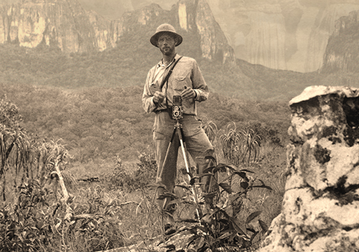
The Amazon Conservation Team created an ambitious set of Story Map Journals describing the amazing South American adventures of Richard Evans Schultes, a pioneering ethnobotanist. Schultes’ work inspires and informs the continuing efforts of the Amazon Conservation Team. The Team made their story accessible to broader audiences by publishing English- and Spanish-language versions, with a cover page linking to both. Owen Evans’ recent blog post describes how you can produce story maps in multiple languages.
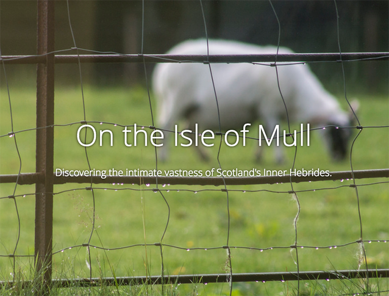
I have an almost irresistible urge to turn my travels into story maps. I documented a holiday on Scotland’s spectacular Isle of Mull in story map form. This year my family returned to the Hebrides—this time the Isle of Arran. If I can manage to wade through my hundreds of photos, I’m hoping you’ll soon see an Arran story map.
You can find additional story map travelogues in the travel and recreation category on the story maps gallery—including a hilarious account of a rickshaw trip across India. As story map team member Rupert Essinger says, creating story maps is “strangely addictive.” We hope that you’ll document your own travels in story map form. Please do so, and share them with us—and the world.

Commenting is not enabled for this article.