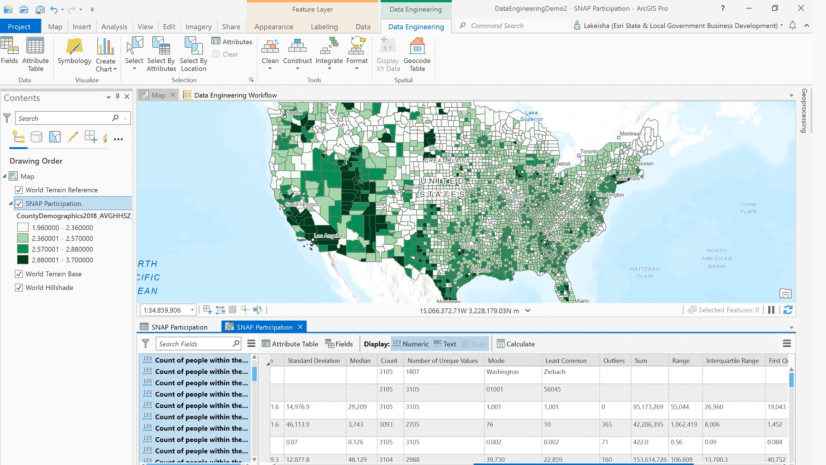
We’ve all been there – we’re ready to do a join or run our analysis tool in ArcGIS Pro – then we realize our field is the wrong data type. You can use the fields panel in Data Engineering to quickly identify if a field has a data type that might not be compatible with your analysis. But how can you fix this?
Well, it turns out, the first option doesn’t even involve Data Engineering – it involves using the Export Features or Export Table tool with the field map to define the type. Check out the short video to see how this works.
If you don’t want to make a copy of your layer, you can use the Copy Data to New Field option from the right-click menu of the field in the Data Engineering fields panel. This opens the Calculate Field tool pre-configured to copy the field, so you can select the field type you would like to convert to then run the tool. The short video below shows you how to access this option.
Bonus: if your data is a delimited text file, you have another option for converting field type. You can modify the schema.ini file to override the data type that ArcGIS Pro has defaulted to. Check out this documentation to find out how.
A note of caution – some field type conversions can cause data loss. For example, if you convert from type long to type short, a value like 6,900,513 will have too many digits to be stored in the short field. If you tried to do this using the Copy Data to New Field option, the tool would output a null for this conversion.
View more resources about how to use Data Engineering
Watch all the Data Engineering: How to videos on our channel


Article Discussion: