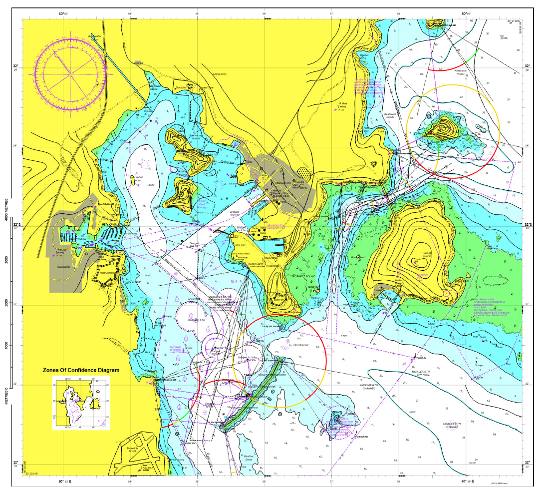
ArcGIS Maritime for ArcGIS Pro provides a system for managing and producing maritime navigation and defense data. With the release of ArcGIS Pro 3.3, ArcGIS Maritime includes new tools and enhancements to facilitate paper charting workflows and ensure compatibility with current editions of maritime standards set by the International Hydrographic Organization (IHO).
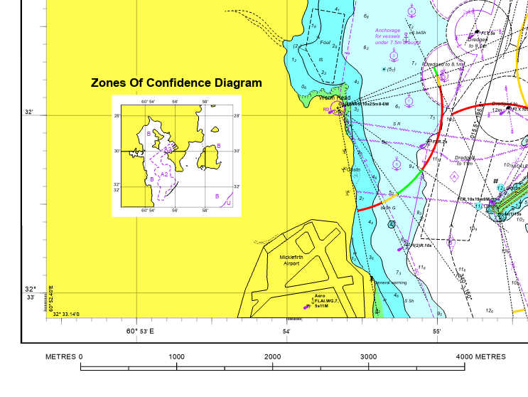
The new Create ZOC Diagram tool allows you to create Zones of Confidence (ZOC) diagrams and add them to paper chart layouts to provide an immediate visual assessment of the quality of the hydrographic data used to compile the charts. The tool is now part of the Paper Charting toolbox, which is available with the ArcGIS Maritime product data files.

You can also add INT2 scale bars to your paper charts now. The IHO INT2 standard defines the scale bars for use on nautical charts and they are categorized based on chart scale. When you add the INT1 style file to an ArcGIS Pro project, the INT2 group is added to the Scale Bar gallery. From there, you can choose the scale bar that matches the specifications of your chart and place it where you want on a chart layout. These scale bars can also be oriented vertically.

We have also made it possible to add custom fields to the Maritime Attributes editor. This capability is driven by customization in the product configuration files, located in the ArcGIS Pro/Resources/Maritime folder. From within the product file, display names for fields can be customized, fields can be set to read-only to prevent edits to specific attributes, and S57ATTRIBUTE fields can be grouped. Additional configuration options are included in the comments of the ENC_Product.xml file and can be applied to any product type.
In addition to these major enhancements, S-58 Edition 7.0.0 and S-101 Edition 1.2.0 are supported at ArcGIS Pro 3.3. If you are using Maritime Chart Service (MCS), you can view MCS WMS Server metadata from the layer properties menu in ArcGIS Pro as well.
For the ArcGIS Maritime server extension for ArcGIS Enterprise 11.3, we have enhanced logging for loading S-57 datasets with bad geometries, updated the S-62 agency list through April 8, 2024, and added ArcGIS REST API documentation for the notes, find, and mcsServiceStatus operations. In Custom Chart Builder (CCB), the compass rose S4 label expression now supports magnetic values in both comma and point decimal format. Numerous MCS and CCB files have been updated. For a full list of Maritime server enhancements, refer to What’s new for ArcGIS Maritime server.
For more information, visit the ArcGIS Maritime page or the What’s new documentation and post your questions in the ArcGIS Maritime board in Esri Community.


Article Discussion: