ArcGIS reality mapping workflows already deliver highly accurate 2D and 3D outputs using imagery from drones, aircraft, and satellites. These workflows provide a strong foundation for creating reliable, photorealistic representations of the real world.
When lidar data is also available, it can be used alongside imagery to further improve results, especially in complex environments where additional surface detail or structure can enhance output quality. By bringing these data sources together, organizations can get even more value from their reality mapping projects.
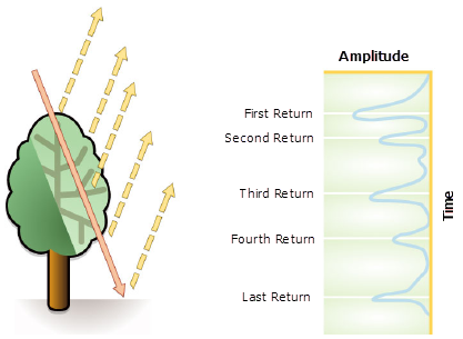
To learn more about lidar, we have this great article to read: What is Lidar Data?
Take already strong results even further
Rather than replacing imagery workflows, lidar acts as a complementary input, enhancing both the quality of reconstruction and the trust in the results.
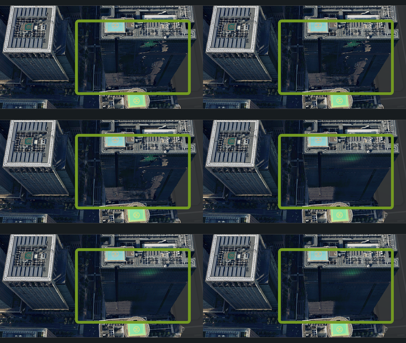
Imagery alone supports a wide range of reality mapping workflows, delivering accurate and visually rich outputs. In some cases, techniques such as densification are used to enhance visual detail, adding more representation in areas where additional clarity is needed.
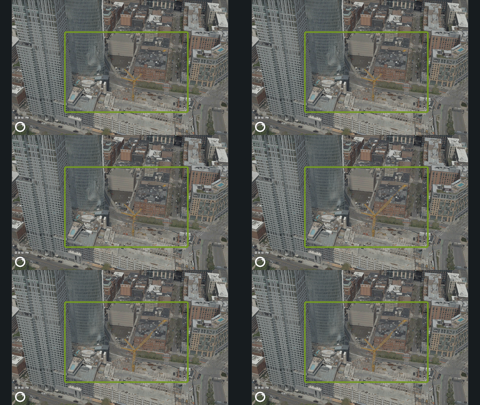
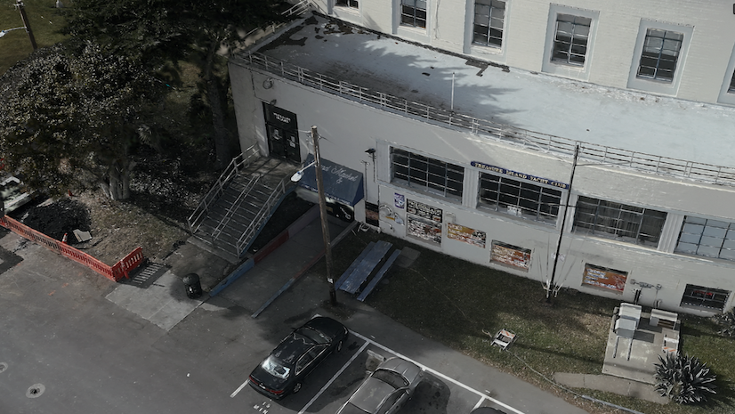
When lidar is available, it contributes in a different way. Rather than increasing visual detail through interpolation, lidar introduces direct measurements of the physical world, adding real data points to the reconstruction. This is especially valuable in areas where optical imagery can be limited, such as shadows, dense vegetation, or highly reflective surfaces.
By combining imagery with lidar, organizations can improve both the completeness and reliability of their outputs. Surfaces become more consistent, gaps in challenging areas are reduced, and 3D products such as meshes, point clouds, and True Orthos are better aligned with real-world conditions. This leads to greater confidence when using these outputs for visualization, analysis, and decision-making and helps organizations get more value from lidar data that is already being collected.
Rather than replacing imagery workflows, lidar acts as a complementary input, enhancing both the overall quality of the reconstruction and the trust in the results.
Flexible workflows in ArcGIS
ArcGIS supports both imagery-only workflows and workflows that incorporate lidar, giving organizations the flexibility to choose the approach that best fits their projects.
Within a single system, users can:
- Work with imagery alone or integrate lidar when available
- Combine multiple data sources in a unified processing environment
- Generate outputs that flow directly into maps, scenes, and analytical workflows
- Avoid siloed processes by keeping reality mapping data within the GIS system
This flexibility allows organizations to scale their workflows, adapt to different data availability, and ensure that their reality mapping outputs are ready for use across the ArcGIS system.
Scale lidar-enhanced workflows with ArcGIS Reality Studio
For organizations working on large-area mapping projects, ArcGIS Reality Studio provides a production-focused environment for processing large imagery collections, with the ability to incorporate lidar when it’s available.
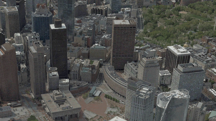
By introducing lidar into these workflows, teams can further improve outputs in complex areas while maintaining efficient production processes. This is particularly valuable for dense urban environments or regions with varied terrain, where additional surface detail can improve overall model quality.
Reality Studio also supports scalable processing and built-in quality assurance workflows, helping teams manage large volumes of data and refine outputs efficiently.
Learn how to use lidar in Reality Studio
And you can watch this video on how lidar is supported in ArcGIS Reality Studio.
Enhance everyday GIS workflows with ArcGIS Reality for ArcGIS Pro
ArcGIS Reality for ArcGIS Pro brings reality mapping directly into GIS workflows, allowing users to generate and use 2D and 3D outputs as part of their day-to-day analysis and production tasks.
Imagery remains the foundation for these workflows, while lidar can be incorporated to refine results when available. This enables users to create more detailed and consistent outputs without introducing new tools or disconnected processes.
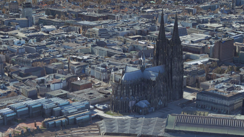
Outputs such as DSMs, meshes, point clouds, and True Orthos can then be immediately used within ArcGIS Pro for visualization, analysis, and decision-making.
Explore reality mapping in ArcGIS Pro
Building better foundations for what comes next
Reality mapping is increasingly becoming a foundational data source for digital twins and operational workflows. As organizations rely on these datasets to support planning, asset management, and analysis, the need for accuracy, completeness, and consistency continues to grow.
Combining imagery and lidar helps meet these needs by enhancing the quality of reality mapping outputs while maintaining flexible, scalable workflows.
Whether you’re working with imagery alone or incorporating lidar, ArcGIS provides the flexibility to create accurate, complete, and analysis-ready representations of the real world.
By supporting both approaches within a single system, ArcGIS enables organizations to get the most out of their data, today and as their workflows evolve.
Stay Connected
If you have any questions or ideas, we’d love to hear from you! Visit the reality mapping Esri Community page and let us know what you think.

Article Discussion: