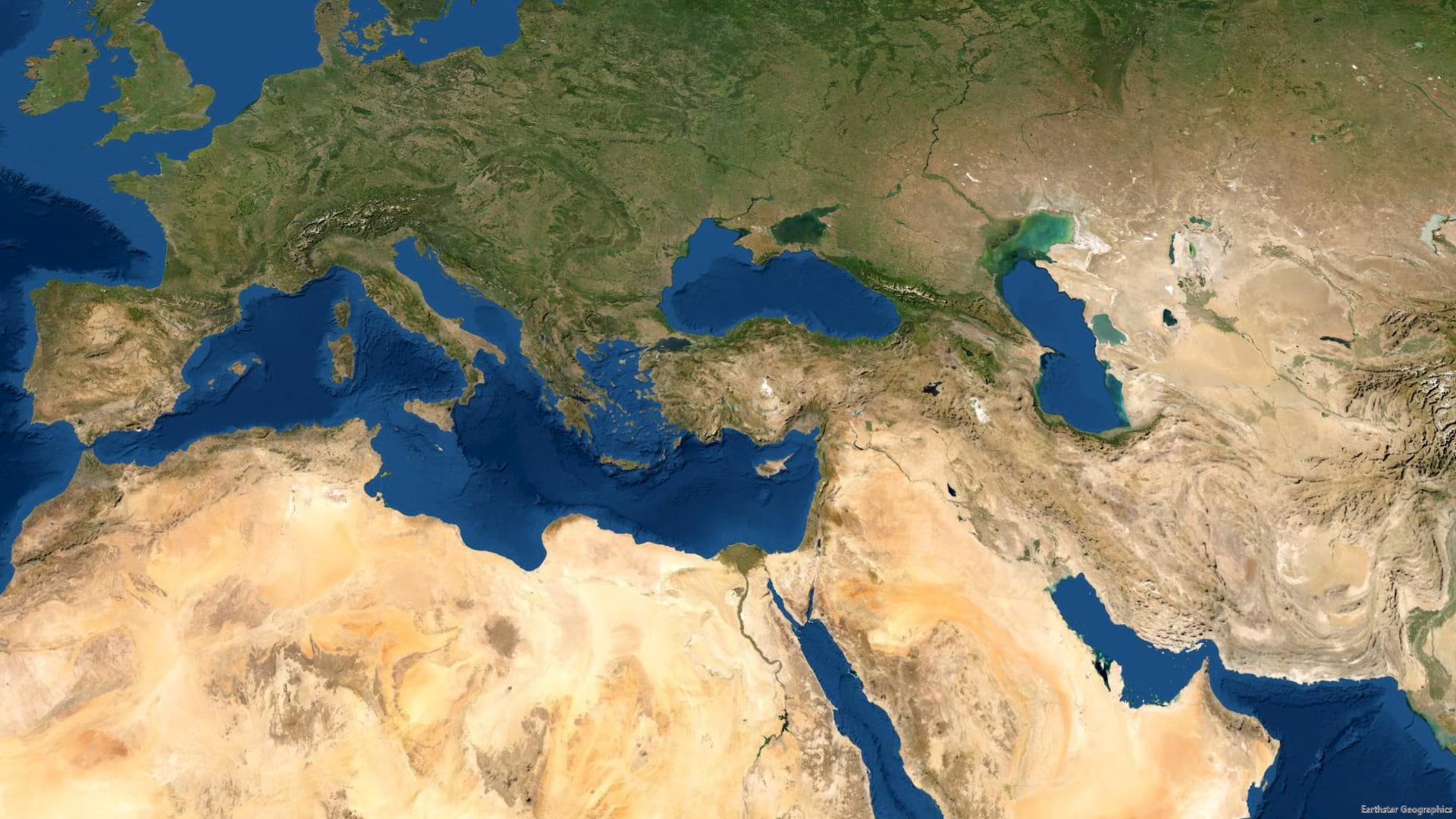
Here is a look at the luscious World Imagery basemap. Who wouldn’t love the literal and accurate context of a basemap like this?

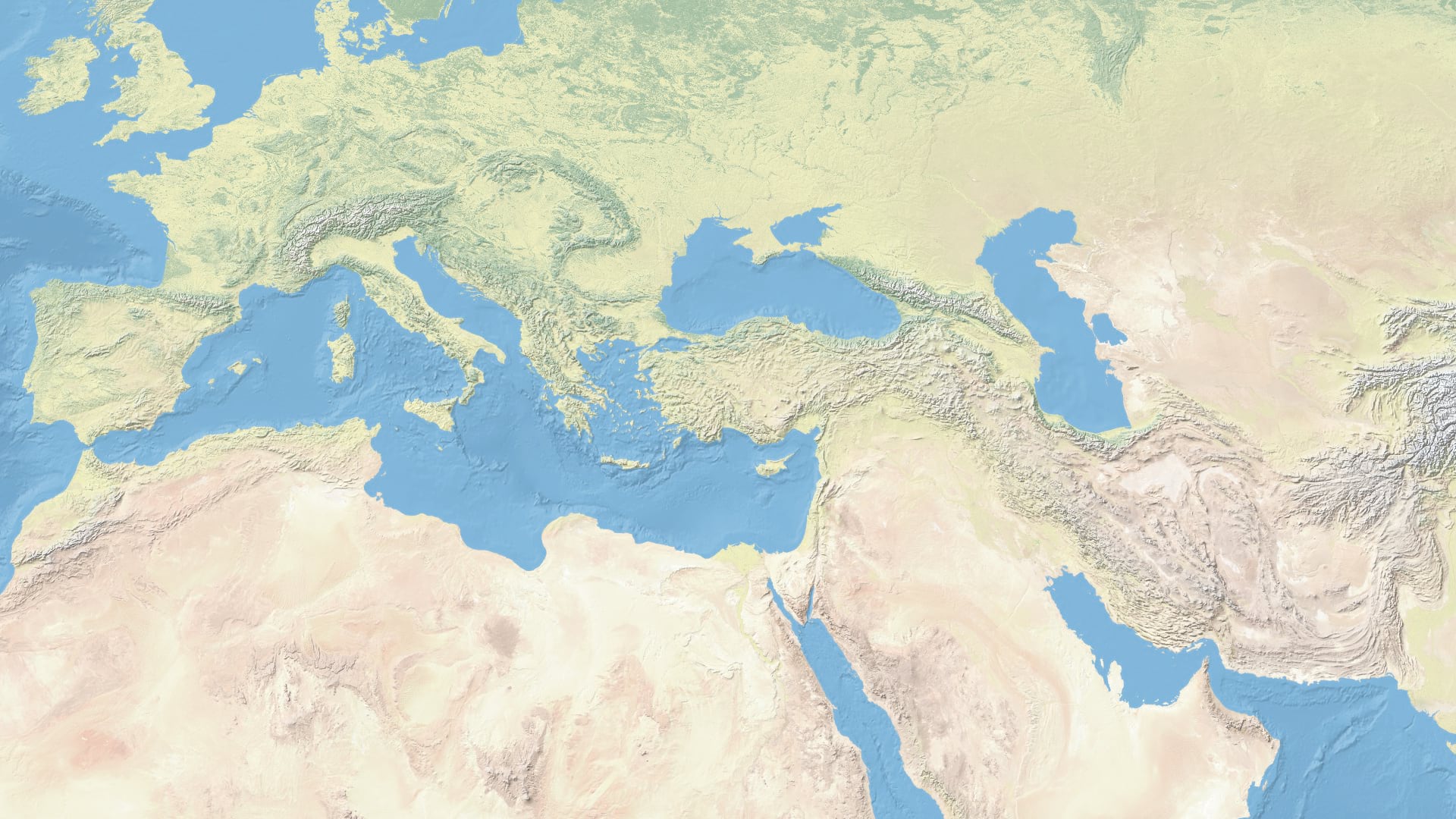
On the other hand, here is an extract of the tenderly hand-wrought cartographic terrain basemap, Natural Earth, from Tom Patterson.

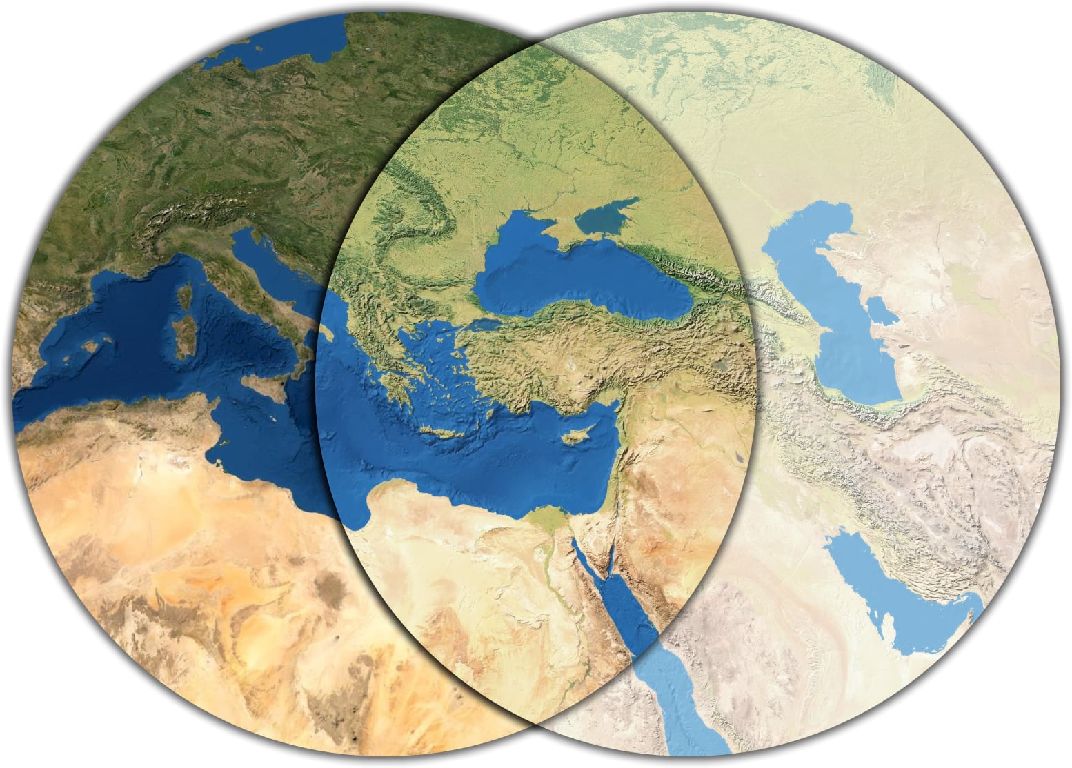
Two outstanding choices! What’s a map maker to do? Each has its merits and limitations. If only there was a way to break free from the binary choice of one vs the other; if we could just blend th—ohhhhhhh, ok, hang on a second. Yeah. Let’s blend them.

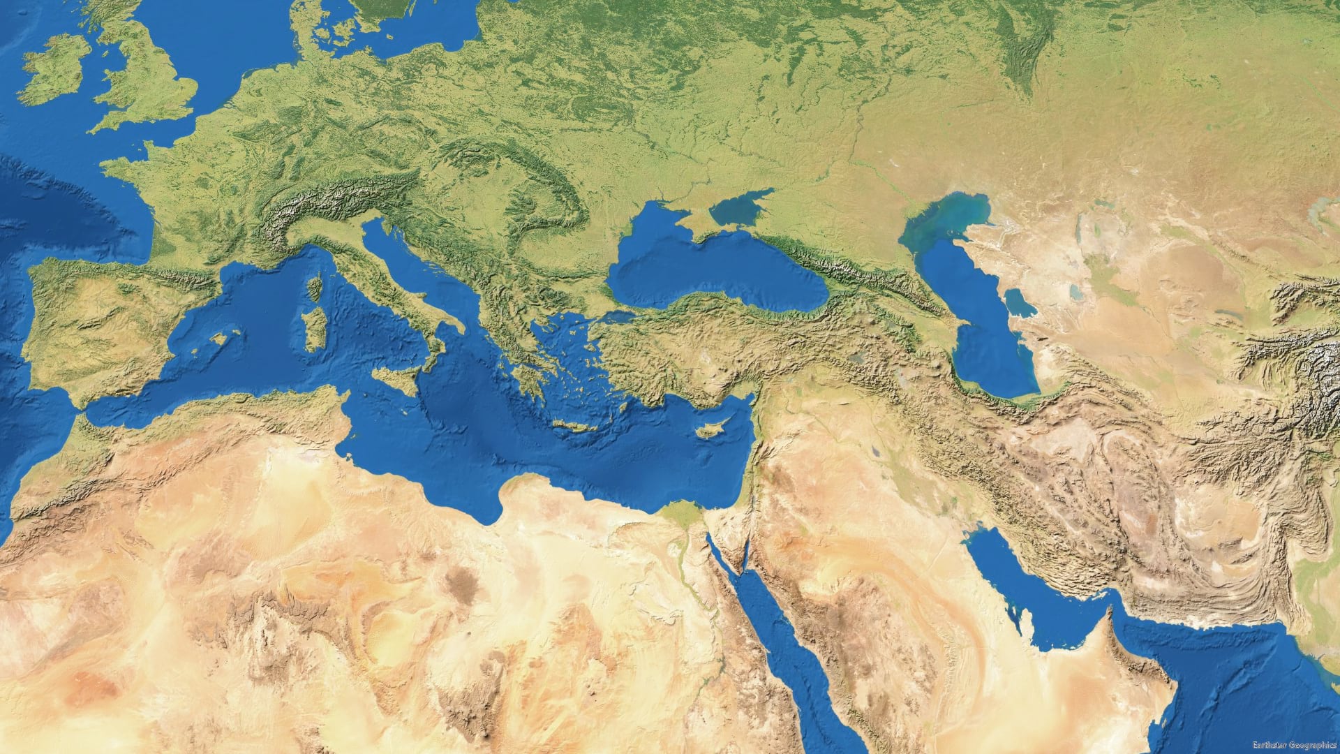
Right? With blending, it’s more like the two choices just become the ends of a gradient, and you can find a balance somewhere between the to, to best suit your map. And because we’re actually mathematically blending the pixels of these inputs, rather than applying a simple transparency, we have so much control and fun awaiting us…
…
0:00 Clearly this hair was cut at home.
0:07 Introducing the cast.
0:26 Embarrassingly low energy…it was first thing in the morning.
0:47 Adventures in hybridizing terms.
0:55 Simple transparency? Nah!
1:47 The Luminosity blend mode merges the textures of a layer (cartographic) with the colors below it (imagery).
2:30 Duplicating the cartography layer and trying out the Overlay blend mode. Too contrasty!
2:59 Soft Light is a gentler version of Overlay; works well here. One of the most useful of the blend modes.
3:15 Still too washed out, so time to add a darkening blend mode: Multiply.
3:56 Looks good! A gentle merging of the two original options.
…
So crack open blend modes and artfully balance a basemap to be the balance of imagery and cartography that best suits your map! And have fun.
Happy Blending! John


Article Discussion: