How to Make this Vintage Map Poster of Yellowstone
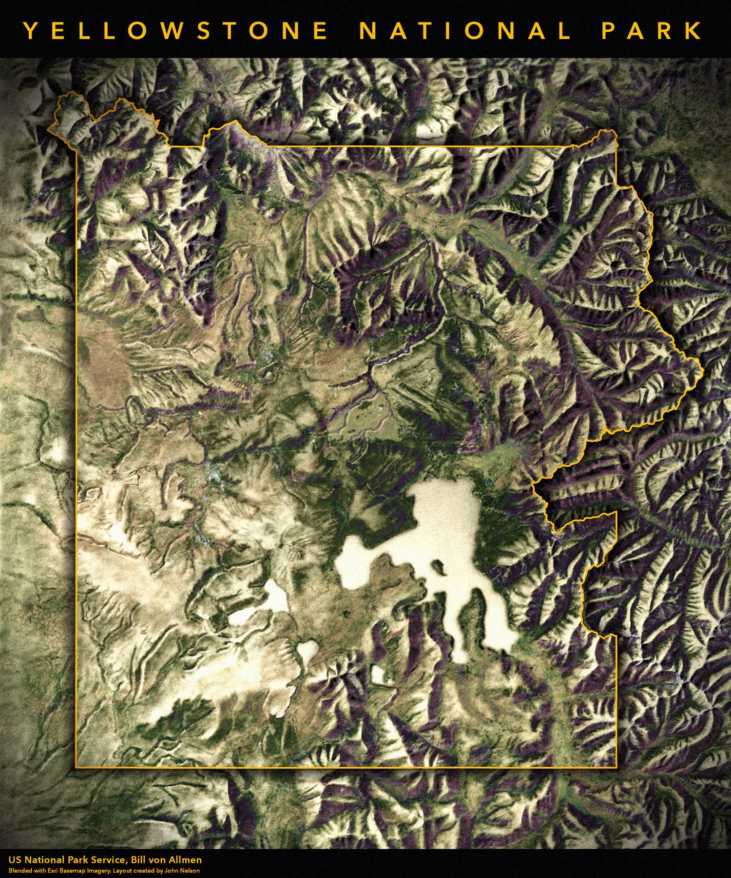
I just assembled this vintage style poster of Yellowstone, blending a beautiful hand-drawn grayscale hillshade by Bill von Allmen in 1983, from the Shaded Relief Archive, and modern satellite imagery. In about a half-hour!
I say “assembled” because I’m just putting pieces together. Here’s how!
I have far too much fun looking for ways to understand and present data visually, hopefully driving product strategy and engaging users. I work in the ArcGIS Living Atlas team at Esri, pushing and pulling data in all sorts of absurd ways and then sharing the process. I also design user experiences for maps and apps.
When I'm not doing those things, I'm chasing around toddlers and wrangling chickens, and generally getting into other ad-hoc adventures. Life is good.
You might also like these Styles for ArcGIS Pro: esriurl.com/nelsonstyles


Commenting is not enabled for this article.