Sometimes your map just wants to sit comfortably next to a French wine poster from the 1930s. Or breathe deeply in the company of iconic WPA national park art. There’s a practical reason for that. Often the imagery supporting a map’s background has the tendency to shout a bit more than it ought.

In graphic design, artists will sometimes borrow the tones and textures of a scene but give it a vectorized paint-by-numbers effect, to lend context and interest to their message without overwhelming the work with the full literal detail. Well guess what? Map-makers are artists too. So what can be done about this?
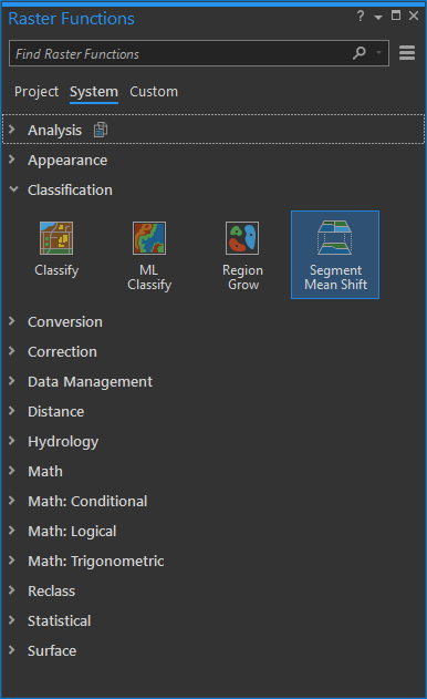
There’s a curiously named Raster Function in ArcGIS Pro has you covered. Segment Mean Shift lets you posterize images and image services (not tiles). So long as you are willing to wield it well outside of its built analytical purpose.
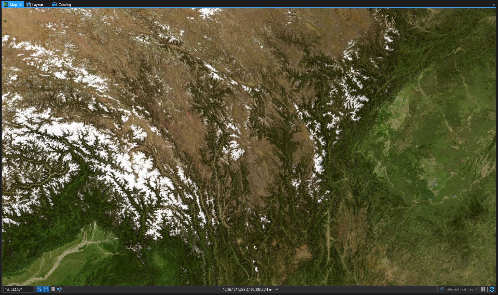
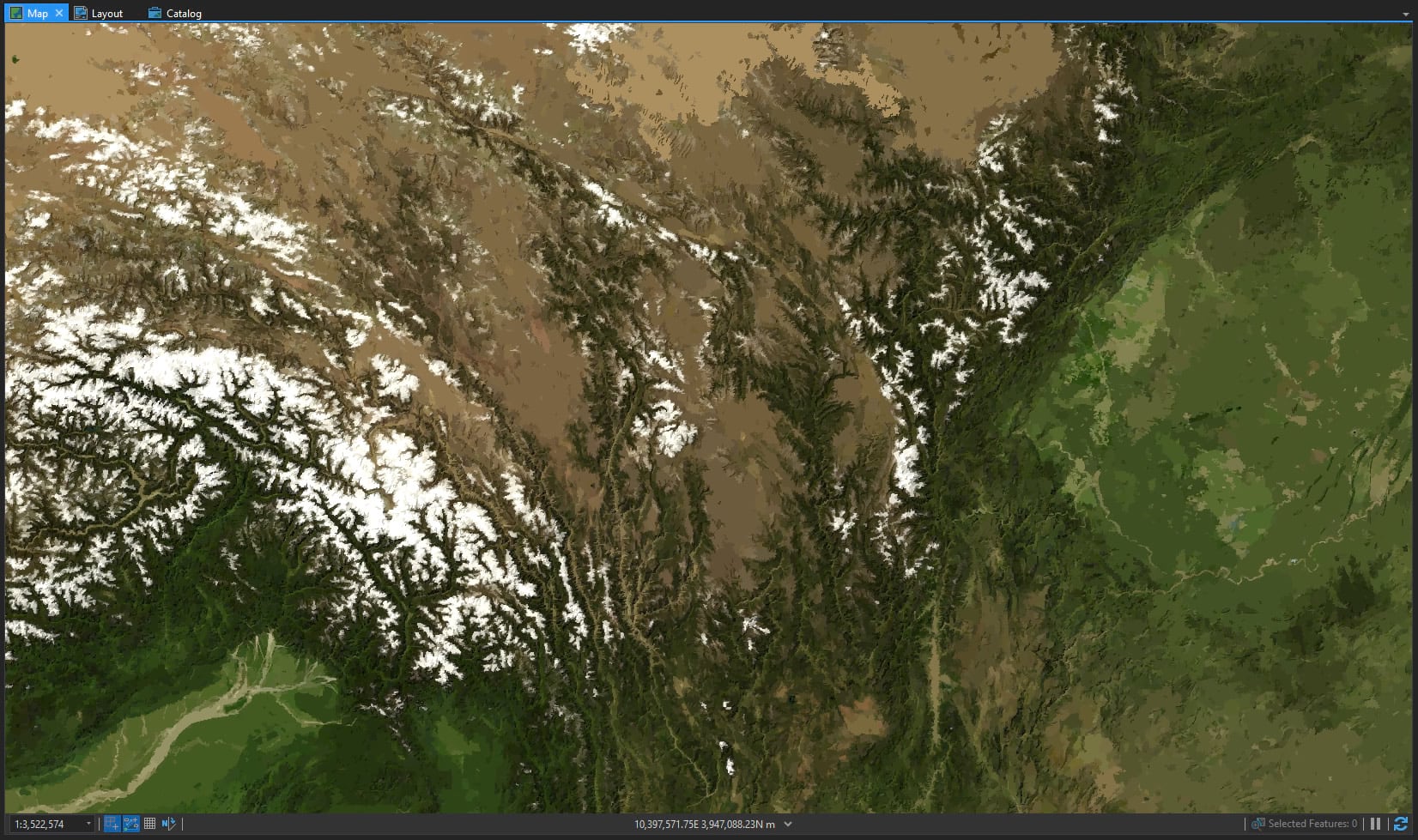
Here’s a look at the eastern portion of the Tibetan Plateau, where the Himalayas spill down into the Mekong and Yangtze headwaters. It’s a beautiful image (I downloaded it from the NASA Visible Earth site).
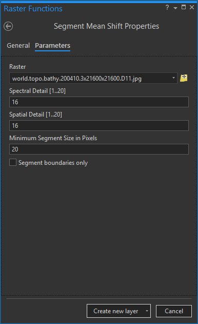
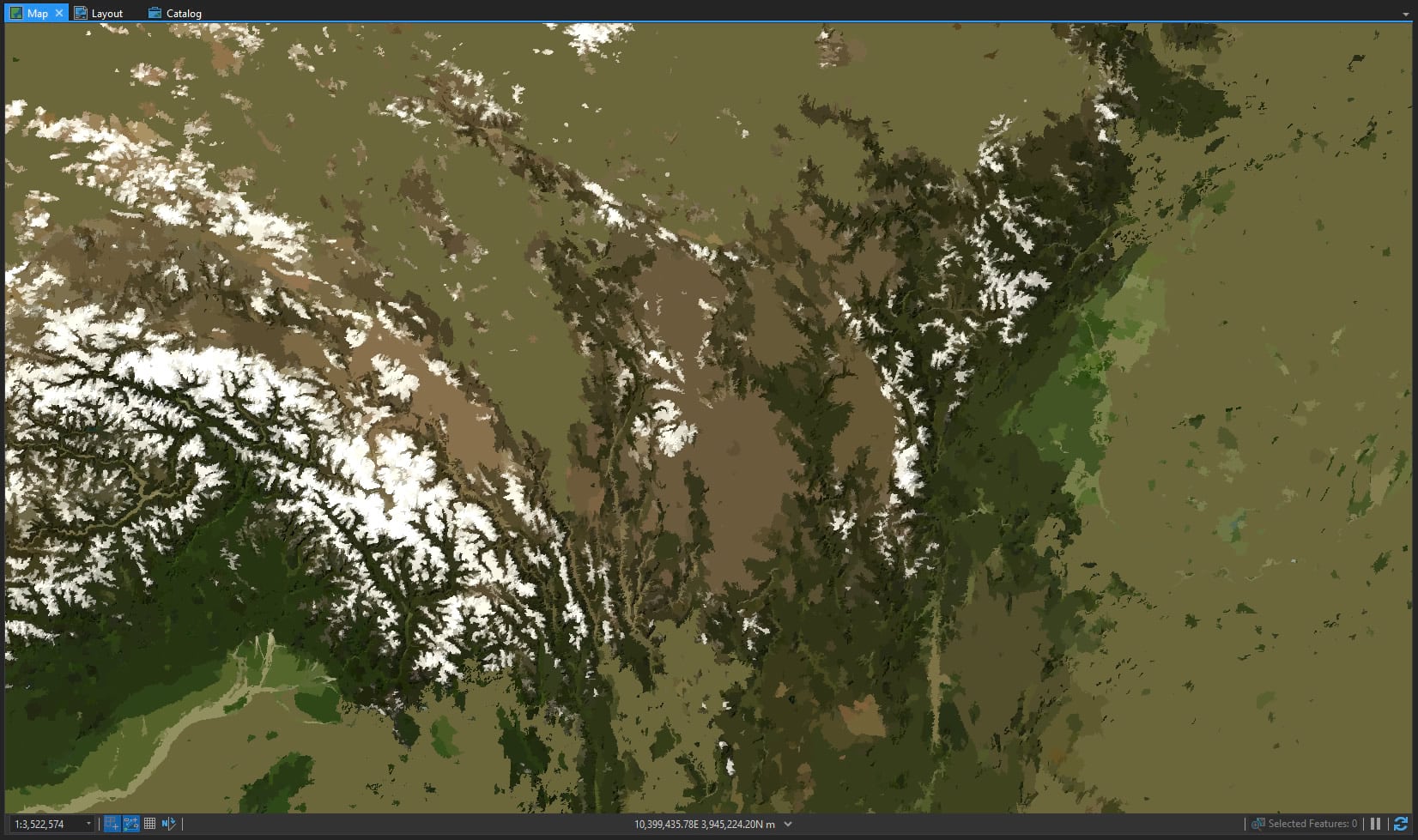
There are only three parameters. Spectral and spatial detail (a range from 1, really smooth, to 20, really fine) and segment size (how small should the pixel clusters be). Here’s a pass at moderate detail and a minimum cluster size of 20 pixels.
Which paints for us a lovely poster. A painterly map ready for all manner of features, titles, and legends.
Here it is with the settings tuned to retain a bit more precision. This is your world.
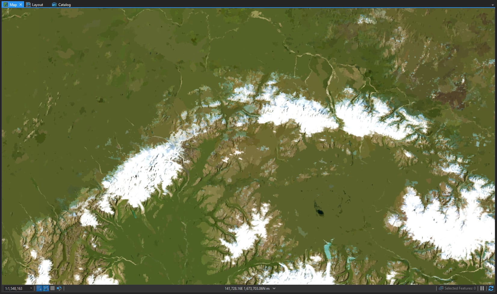
Here’s a posterized Denali…
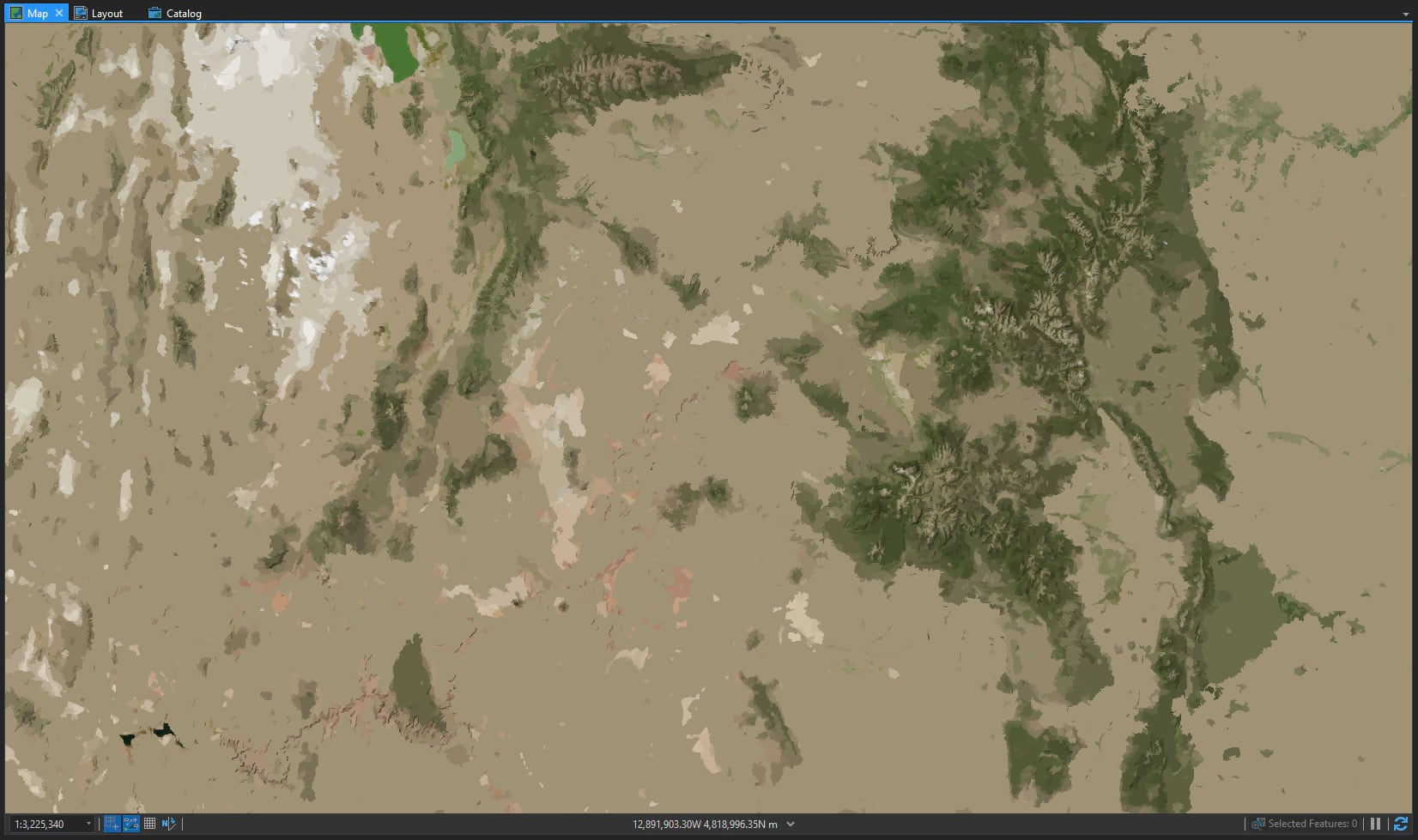
And here’s the Colorado Plateau, with the Grand Canyon in the bottom left corner, the Great Salt Lake north of that, and the Rockies extending through the right side of the canvas—I mean map.
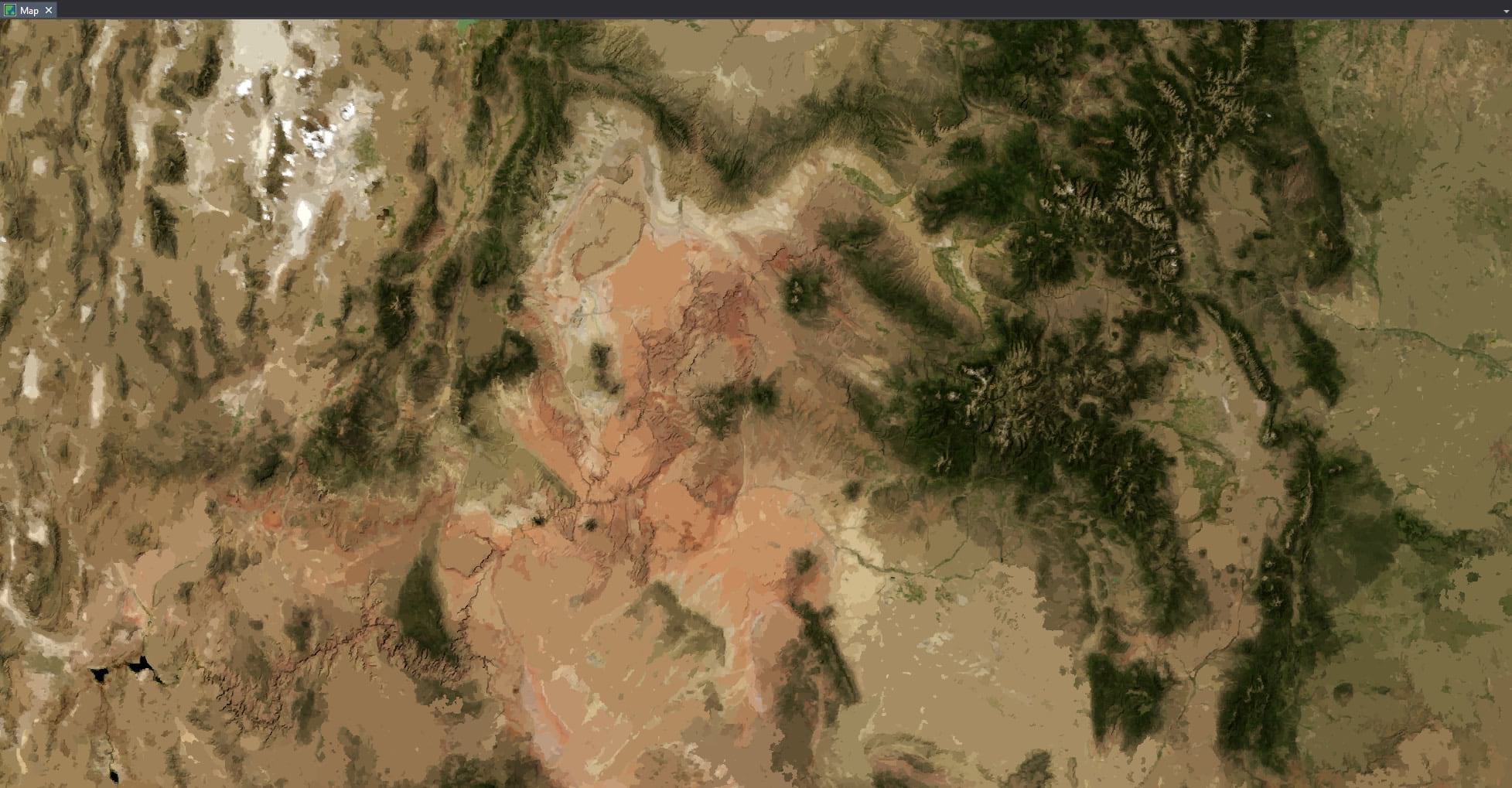
This one looks better when you increase the parameters’ precision. You might have to click this image to see it at full size to notice that it’s even been posterized.
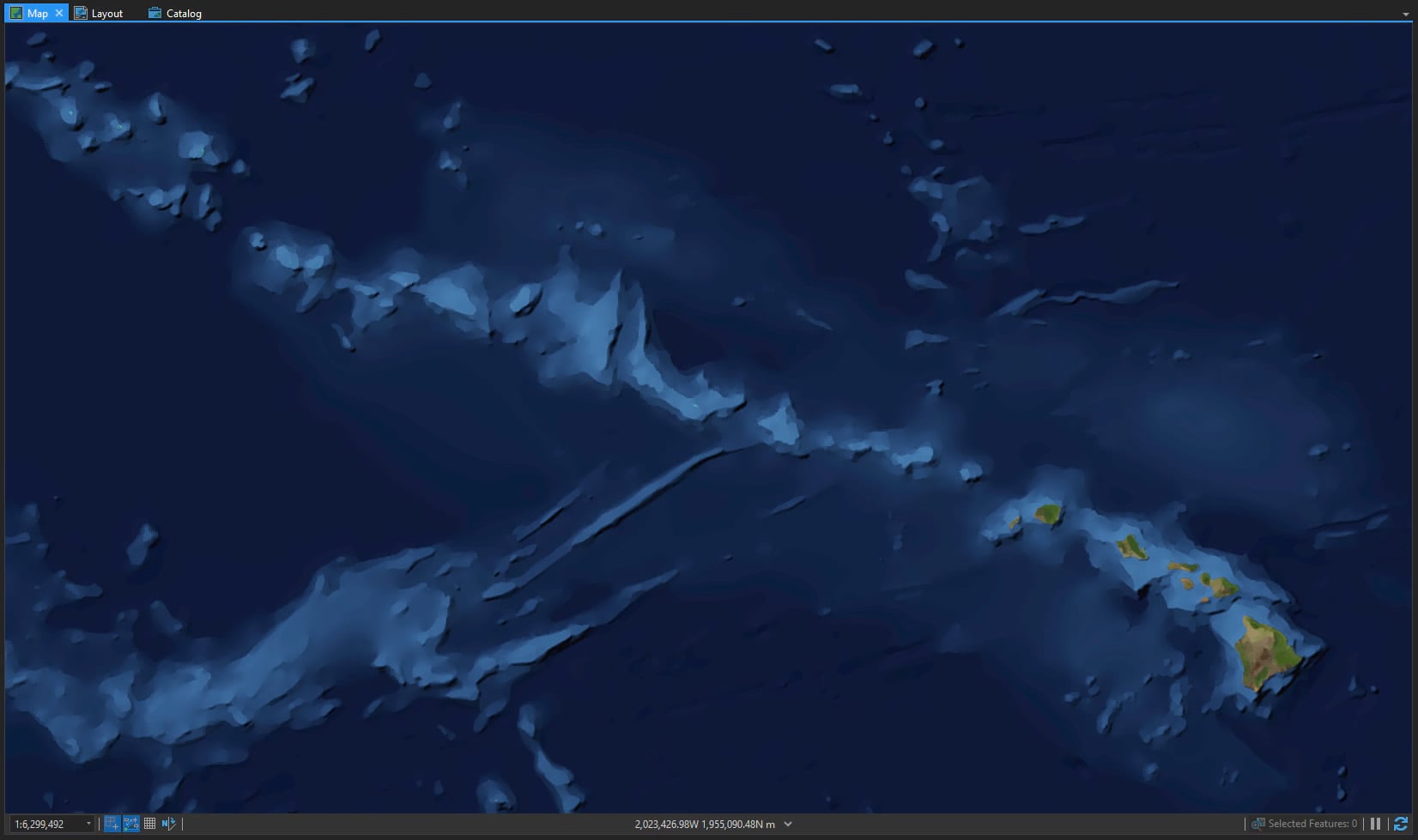
Bathymetry looks pretty cool too. Here’s a posterized Hawaiian chain and seafloor.
So please do give it a try! Could your map benefit from a posterized background? Turn those imagery pixels into something less and therefore something more. And have fun.
Happy Mapping! John


Commenting is not enabled for this article.