ArcGIS Pro

How to reattach land that spills over the International Dateline

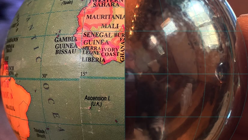
If you’ve ever made a world map before, you may have noticed that bit of Siberia that spills over the International Dateline only to magically appear on the left edge of the world. When it comes to projecting our not-2D world onto a 2D surface, we have to draw the line somewhere. But what if that line wasn’t set in stone?

It’s not! Here’s how to tweak the parameters of a projection to re-center it such that Siberia is reattached to the right edge of the map. Bonus points for sticking around for the symbology hack to erase the zipper. Extra bonus points for sticking around to learn about a very regional second-person plural pronoun.

About the author

I have far too much fun looking for ways to understand and present data visually, hopefully driving product strategy and engaging users. I work in the ArcGIS Living Atlas team at Esri, pushing and pulling data in all sorts of absurd ways and then sharing the process. I also design user experiences for maps and apps. When I'm not doing those things, I'm chasing around toddlers and wrangling chickens, and generally getting into other ad-hoc adventures. Life is good. You might also like these Styles for ArcGIS Pro: esriurl.com/nelsonstyles

Connect:
0 Comments
Inline Feedbacks
View all comments

Next Article

Your Living Atlas Questions Answered

Read this article