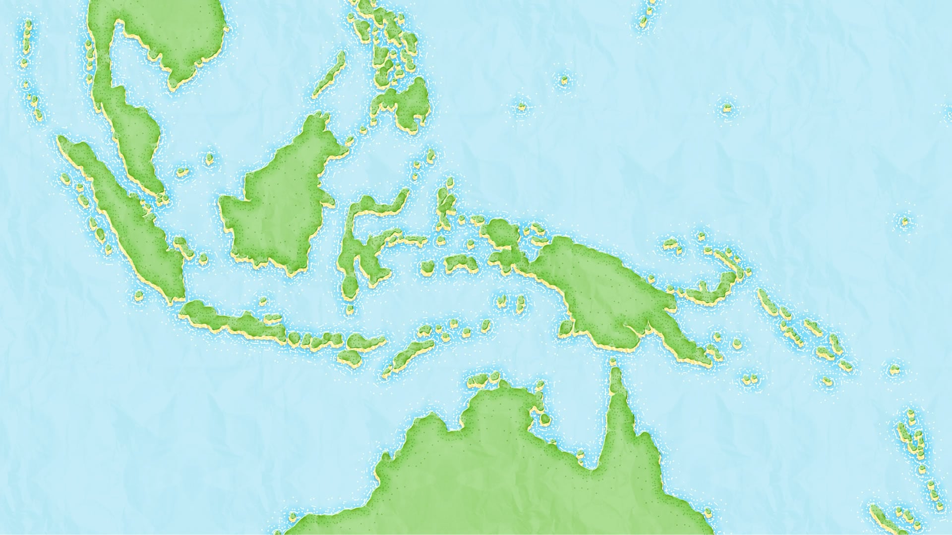
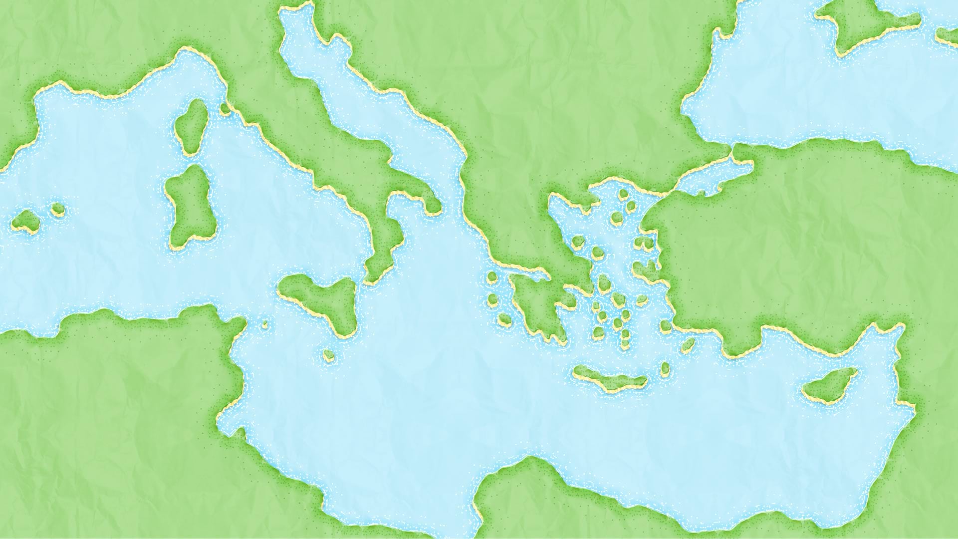
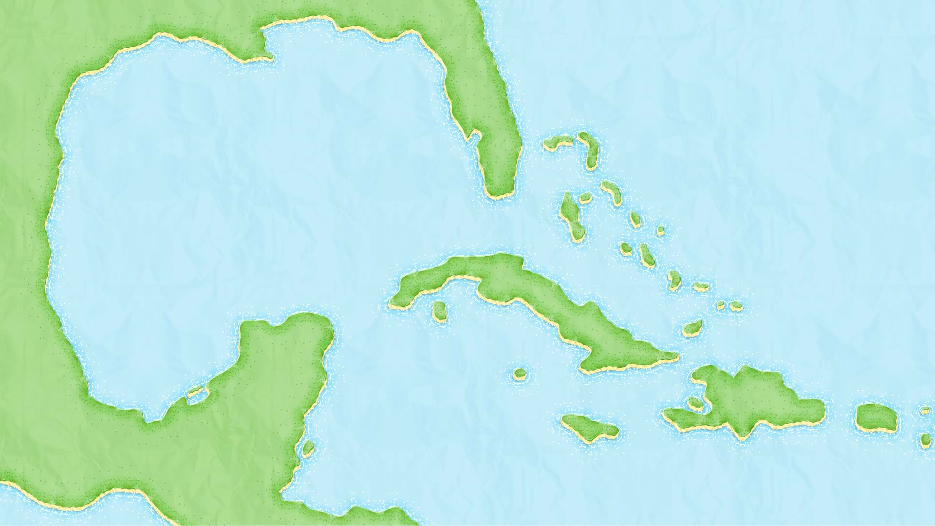
ArcGIS Pro is a serious tool for serious GIS analysis. Are you ready for some seriously charming illustration style cartography? Ok!


Children’s maps are a valuable thing. They are often the first impressions the world of geography has on every single one of us. What an opportunity!
These maps use a handful of tricks and an incredibly tall stack of symbol layers. Maybe a storybook illustration style map is just what you need. And if not, I can assure you there are plenty of symbology tricks in here that you can use for far less whimsical aims. Here’s a how-to…
…
0:00 Before-after intro, including singing
0:12 Grabbing/tweaking hand-drawn land data
0:56 Creating a cartoon coast with the offset and move effects
2:45 Adding some dirt texture
5:14 Blue coastal water glow
6:42 Tufty turf effect around the edge of the land
10:00 Water lines!
12:32 Little bit of shadow under the turf
14:47 Paper texture makes it look papery
16:13 Some choppy wave action shadows
17:33 Grassy stippling!
19:36 Feeling crazy, adding some water sparkle
21:00 Real bathymetry? Why not?
Enjoy making some engaging and interesting maps that look like they were ripped out of a children’s atlas!
Love, John


Article Discussion: