ArcGIS Pro

The Terrain of Costa Rica

Hello! Here is a hillshaded terrain graphic of much of Costa Rica, made in ArcGIS Pro with raster functions and blend modes (and of course some delicious DEM images and the glorious World Imagery Basemap). I’ve never been to Costa Rica, but I’d like to see it someday; for now, these pixels will have to do.
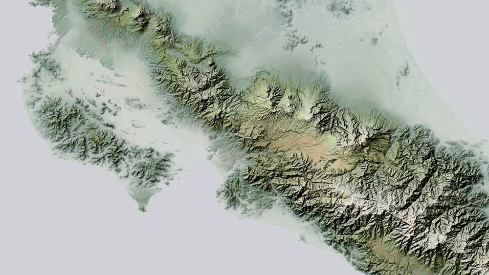
Terrain relief map of the area around Cost Rica

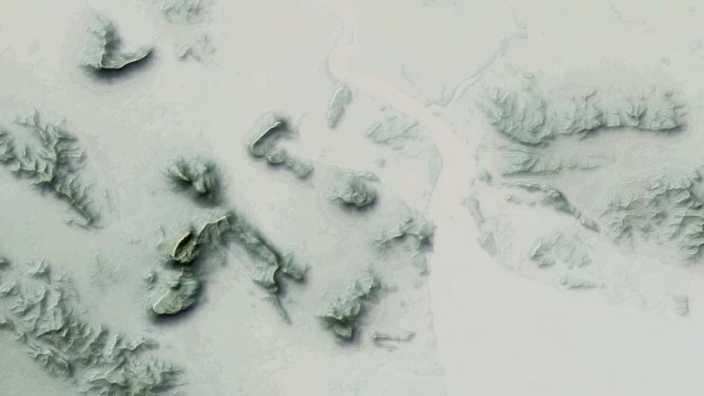
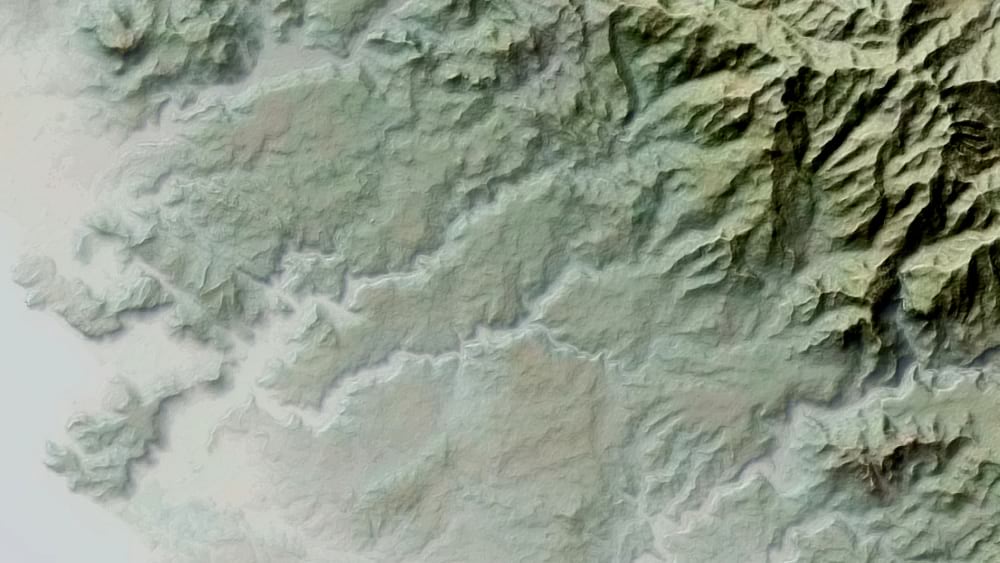
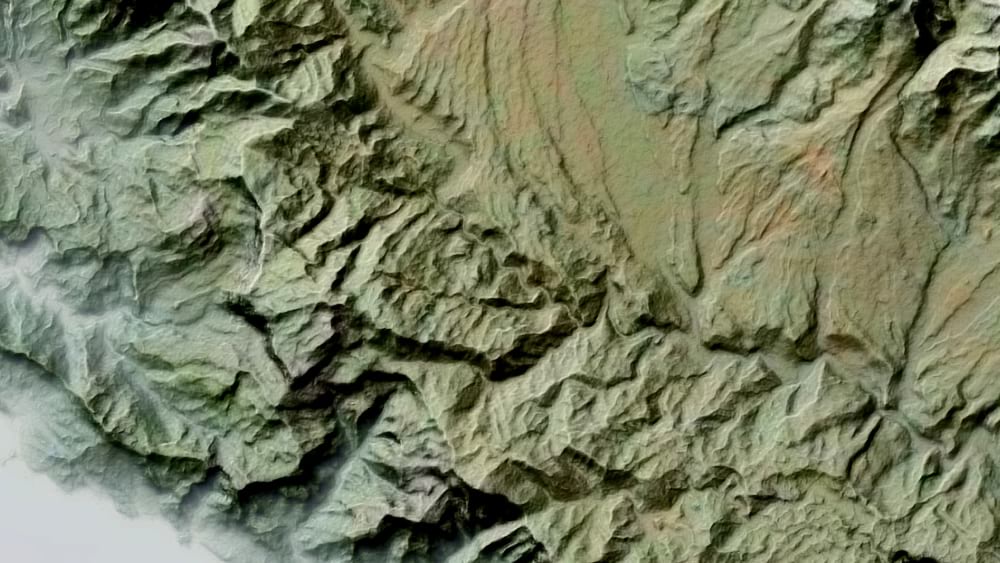
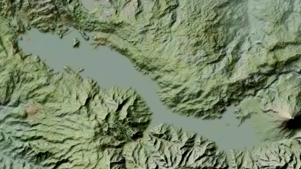
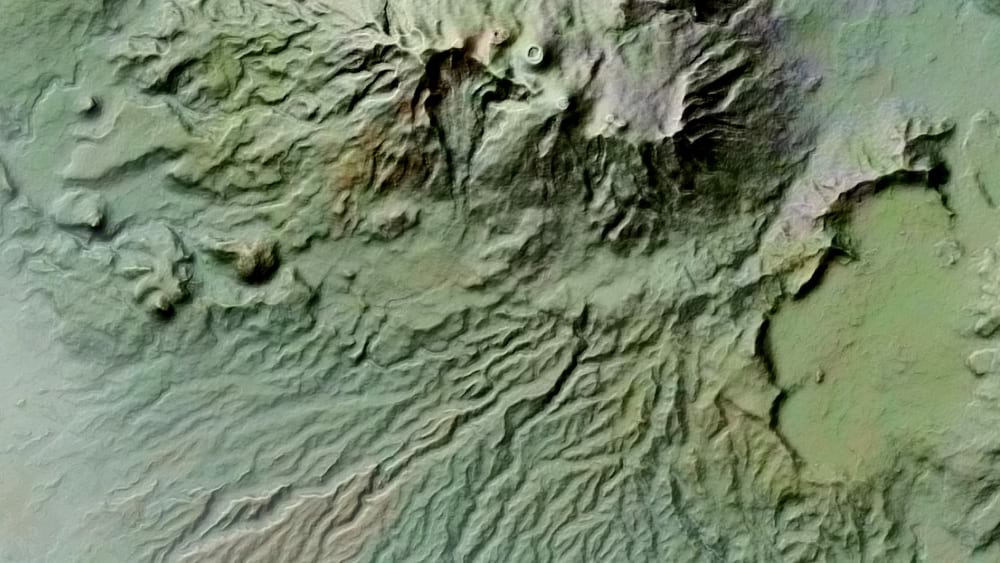
Some closer looks…

Area detail of Costa Rica hillshade.

Here’s a link to a full-sized (10MB) version. Or if you are feeling dangerous, here it is as a georeferenced GeoTIFF file (97MB) that you can add to your map project.

And if you’re feeling especially dangerous, here’s a mercifully narration-free video walking through its making…

The handshake of fast and efficient raster functions with the adventure of blend modes makes making rich custom hillshades in ArcGIS Pro so simple and so fun.

Feel free to download this source DEM image (52MB), and get started painting with light and shadow in your map project.

Happy Shading! John

About the author

I have far too much fun looking for ways to understand and present data visually, hopefully driving product strategy and engaging users. I work in the ArcGIS Living Atlas team at Esri, pushing and pulling data in all sorts of absurd ways and then sharing the process. I also design user experiences for maps and apps. When I'm not doing those things, I'm chasing around toddlers and wrangling chickens, and generally getting into other ad-hoc adventures. Life is good. You might also like these Styles for ArcGIS Pro: esriurl.com/nelsonstyles

Connect:
4 Comments
Oldest
Newest
Inline Feedbacks
View all comments

Next Article

Multi-Scale Contour Styling in ArcGIS Pro

Read this article