-
-
-
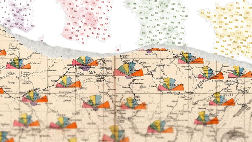
August 7, 2023
| John Nelson
|
Mapping
-
-
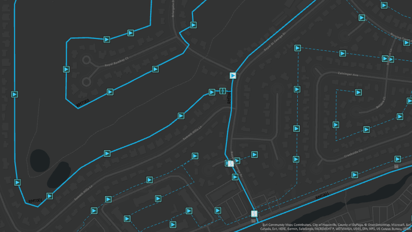
July 31, 2023
| Multiple Authors
|
Data Management
-
-
July 26, 2023
| John Nelson
|
Mapping
-
-
-
-
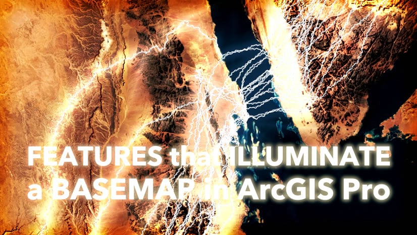
July 10, 2023
| Multiple Authors
|
Mapping
-
July 10, 2023
| Koya Brown
|
Decision Support
-
-
July 3, 2023
| Multiple Authors
|
Imagery & Remote Sensing
-
-
July 3, 2023
| Multiple Authors
|
3D Visualization & Analytics
-
-
-
June 26, 2023
| Kory Kramer
|
Mapping
-
June 22, 2023
| Multiple Authors
|
Announcements
-
-
-
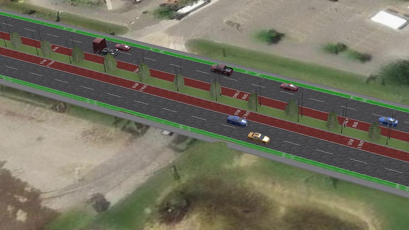
June 20, 2023
| Multiple Authors
|
Transportation
-
opens in new window