ArcGIS Solutions align with your business needs, transform your use of ArcGIS, and help you maximize the investment you are making in location-based data and technology.
In the February 2021 release, you will find several new ArcGIS Solutions for state and local governments, utilities, public safety agencies, health and human services organizations and national guards or military branches. There are also many enhancements to the existing solution portfolio that can be leveraged by organizations of all types.
Here is a quick summary of what’s new in the February release:
State and Local Governments
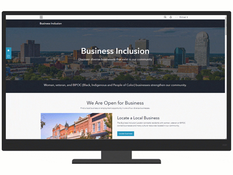
Business Inclusion can be used to engage woman, veteran and BIPOC (Black, Indigenous and People of Color) owned businesses and support their retention and expansion in a community.
Public Parking can be used to inventory parking assets and promote public parking (lots, garages, on-street spaces, and pay stations) alternatives in a downtown or neighborhood.
Traffic Crash Analysis can be used to analyze crash data and identify streets and intersections where concentrations of serious and fatal crashes occur.
Transportation 511 can be used to share road conditions and closures that may impact travel throughout a community or state.
Vision Zero can be used to solicit transportation hazards and dangerous traffic behaviors on roadways from bikers, drivers, pedestrians and others using public streets.
Utilities
Electric Distribution Data Management for ArcGIS Online
Electric Distribution Data Management for ArcGIS Online can be used to map electric distribution systems, edit data, view electric maps in the field and office, view asset reports, and collaborate with map notes.
Gas Data Management for ArcGIS Online
Gas Data Management for ArcGIS Online can be used to map gas systems, edit data, view gas maps in the field and office, view asset reports, and collaborate with map notes.
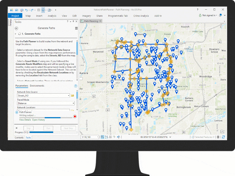
Network Path Planner can be used to plan fronthaul routes to wireless equipment such as 5G sites, backhaul routes from wireless towers, and plan routes to residential neighborhoods or business locations.
Stormwater Data Management for ArcGIS Online
Stormwater Data Management for ArcGIS Online can be used to map assets, edit data, view stormwater system maps in the field and office, view asset reports, and collaborate with map notes.
Public Safety
Fire Service Maps can be used to produce wall maps and run books that are placed in a fire station or apparatus to assist with response activities.
Target Hazard Analysis can be used to identify properties and buildings that could result in a loss of life, or have a negative impact on the community, if a fire were to occur.
Health and Human Services
Community Health Outreach can be used to communicate health initiatives, increase participation in key initiatives, and ensure the public knows where they can locate health services.

National Guards or Military Branches
Resource Management can be used to monitor resource inventories at each unit or command.
Additional Enhancements
Here is a list of the ArcGIS Solutions that have been enhanced in the February 2021 release:
- 3D Basemaps
- Business Resilience
- Coronavirus Small Business Recovery
- Fusion Center
- Homeless Outreach
- Sewer Data Management for ArcGIS Online
- Water Distribution Data Management for ArcGIS Online
Finally, learn more about any general improvements, lifecycle changes and issues that have been addressed in this release.
Visit our product destination for more information.

Article Discussion: